Winter has come to Houston, and along with it we’re seeing widespread light rainfall for a couple of days before sunny and cool weather.
Wednesday
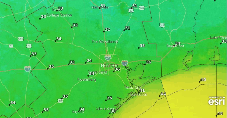
Today is definitely winter coat weather—even if you’re one of those hardy souls from the north who mocks those of us accustomed to Houston weather. High temperatures will probably top out in the mid- to upper-40s today, and a 10 to 15-mph northerly breeze will keep things brisk, with higher gusts along the coast. Clouds are likely all day as well, with intermittent light rain showers adding to the fun. I’m not worried about accumulations, as most areas should see less than 1 inch of rain. But my, this will be a dreary day.
Thursday
Some northern areas have a slight chance of sleet (tiny, clear pellets of ice) on Wednesday night—I’m thinking of areas like Washington, Grimes, and Walker counties, and points north of there. However, the ground is warm enough still that any such wintry mix should melt on contact. In Houston, we’ll just see cold rain. This day should be a lot like Wednesday, albeit with slightly warmer temperatures and diminishing rain coverage later in the day.
Some clearing skies (generally from the northwest to the southeast) should allow temperatures on Thursday night to get a bit colder, perhaps in the upper 30s for the Houston area, but a freeze seems unlikely in the city.
(Space City Weather is brought to you this month by the Law Office of Murray Newman)
Friday
The Sun returns! The upper-level system that’s been producing widespread, light rainfall should finally move off to the east on Thursday evening or during the overnight hours, bringing an end to the rain, and allowing our skies to clear later on Friday. Temperatures will remain chilly, with highs in the mid- to upper-50s across the area.
Saturday and Sunday
Our weekend remains on track for clear and cool, winter-like weather. Both days should see highs in the mid-60s, with overnight lows falling down to around 40 degrees—warmer near the coast and cooler for inland areas. Rain chances are near zero.
Next week
High temperatures on Monday should warm to near 70 degrees before another cool front drops down into the area. The air column should be dry enough that, by the time this front moves through, it should not be able to generate any precipitation. This influx of moderately cooler air should keep high temperatures for most of next week in the low-to-mid 60s. Rain chances look to be zero for our area for most all of next week after this current round of light-to-moderate precipitation ends this week.
It’s not that bad.
It could be 100 and humid. That’s worse!
“Some northern areas have a slight chance of sleet (tiny, clear pellets of ice) ”
lolololol – I really hope to get some snow and wind chill for you to define to the Houston audience this winter. This gave me a good laugh this morning.
I laughed too – thinking many people are so eager for snow that it has to be made *perfectly* clear that this is ice, not snow so that folks don’t get too excited/disappointed. Those with young kids who’ve never experienced snow get excited about that prospect. Managing expectations:)
Dreary??? This weather is amazing! If I had my druthers about it I would keep it like this at least 4-5mo a year!
I’m with Ari here. I want this exact weather—40 degrees and drizzling—for at least 50% of the year. This is heavenly.
I must agree, it was like this in Scotland and was wonderful!
Seattle awaits you.
Wow. I am depressed from waking up and it is like being in a catacomb, and then it gets dark again in a few hours. Amazing. I hate this time of year.
Same here. Let’s keep it.
“Our weekend remains on track for clear and cool, “winter-like weather.” Both days should see highs in the mid-60s, . . .”
“Winter-like?” I experienced “real winter” one time when I found myself on a biz trip in Omaha, late Jan. Gorgeous, clear blue, Great Plains sky. The “high” for the day was minus 10 F with a 20 mph wind from the west. NO WINTER COAT WORKED!
Love chilly, drizzly weather…similar to Scotland. Would like to have it all year long!!
Happy Winter!!!!!