Houston is enjoying fine, cool weather this morning, with temperatures ranging from the mid-40s across Montgomery County down to around 60 degrees at the coast. If only this would last, but we know it won’t.
Today
Expect mostly sunny skies today as high pressure persists for most of the day over Houston, with high temperatures rising to about 80 degrees. At some point this afternoon or evening we’ll see the resumption of winds from off the coast. Lows tonight should still get into the low 60s for most of Houston.
Tuesday
A similar day to Monday, although slightly warmer for the region, and with the persistent onshore flow we’ll see a much warmer night, with overnight lows into Wednesday morning about 10 degrees warmer.
Wednesday
For a couple of days we’ve been watching the possibility of a cool front on Wednesday with a “will it or won’t it” question as to whether it will move all the way through the Houston area. Now it looks like the front will indeed make it through, and now the question is its potential for rain. Conditions are more favorable for rain north of Houston than over central or southern parts of the region, and even then I don’t think we’re looking at more than a tenth of an inch, or two. Highs in the mid-80s.
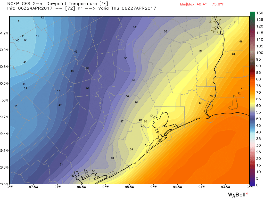
Thursday
The cool front will give us a brief reprieve in overnight temperatures, and I expect central and northern parts of Houston will have a chance to get into the upper 50s on Thursday morning before another warm day in the mid-80s. Less humidity will also feel nice—but it won’t last.
(Space City Weather is sponsored this month by The Mole, a Jonathon Price novel.)
Friday
By Friday the onshore flow should resume in full force, and along with rising humidity levels we can expect high temperatures in the mid- to upper 80s. It’s going to feel warm after our taste of cooler weather this weekend
Next weekend
We know it’s going to be warm next Saturday, with high temperatures in the upper 80s to potentially even 90 degrees. That is perhaps not the most welcome news for riders of the BP MS 150, but it is also not the potentially worst news, either. A fairly strong storm system will move out of the Rocky Mountains toward the end of next week, and it’s likely to bring severe weather over Oklahoma and parts of northern Texas. As this system moves east, and pushes a cold front across Texas, there is the possibility of some of these storms reaching as far south as Austin and Houston. Right now I’d bet on the really nasty weather staying north—more Dallas than the Houston-Austin corridor—but that’s not something we can definitively say right now. For bike riders, the other potentially bad news is headwinds on Sunday, as riders may be pushing their bikes into the teeth of a 15-mph (or so) wind out of the northwest as a front blows through.
The upside for Houston is that, after storm chances end on Sunday, we should have another round of cooler, drier weather, although it’s not going to get quite so cool as it did this past weekend.
Posted at 6:50am CT on Monday by Eric
Is there truly an air advisory alert for Houston? Or has my AccuWeather app had a TIA?
I might be a monster, but Saturday temps were better than Sunday! Give me the humidity!
Oh, you’re definitely a monster. 🙂