Spring has come to Houston, and that means a steady diet of 80-degree temperatures for at least the next week or so. A risk of storms remains on Friday.
Today and Thursday
We’ll see continued warm weather—for this time of year—as high pressure sort of sways across Texas during the next couple of days. Expect partly to mostly cloudy skies and highs in the low- to mid-80s. These are near-record high temperatures for this time of year. Lows will moderate into the low- to mid-60s. The primary concern will be the possibility of some scattered, dense fog.
Friday
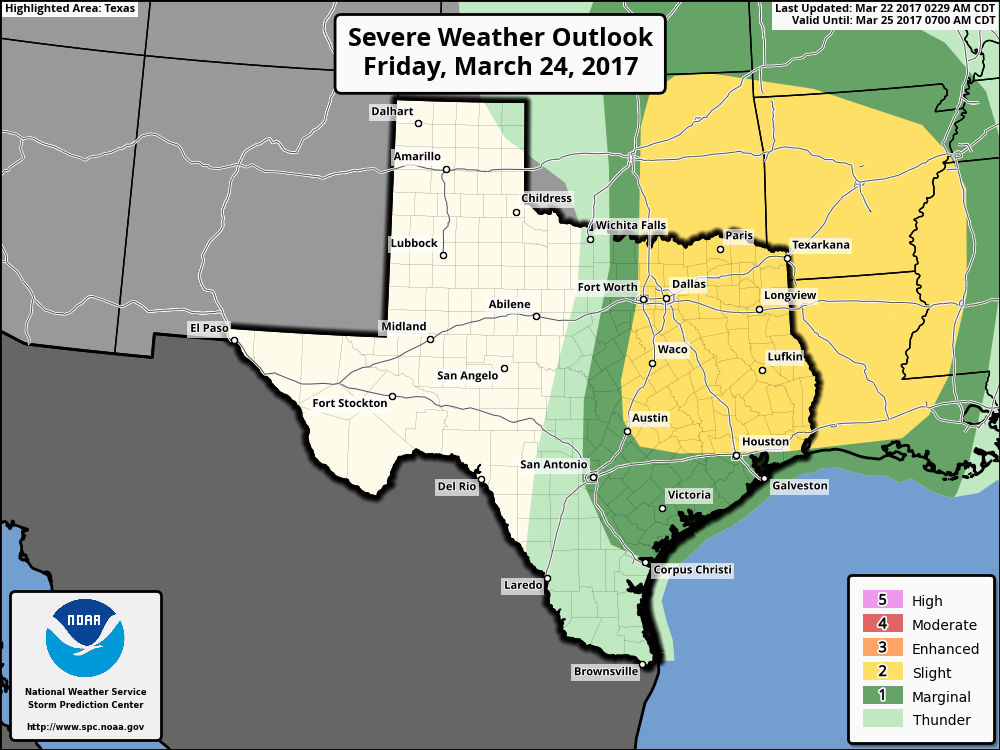
As we’ve been discussing, an upper-level low pressure system, and an associated cold front, will move off the Rocky Mountains later this week and drag what will probably be a significant line of storms across parts of the central and southern United States. Most of the action should be north of the Houston metro area, but we’ll need to be wary of the possibility of a few severe thunderstorms north of interstate 10.
(Space City Weather is sponsored by an anonymous donor this month)
In practical terms, ahead of the system, we’re going to see gusty southerly winds on Friday morning, increasing moisture levels. This will lead to decent to good rain chances during the afternoon and overnight hours. My expectation is that for southern areas of the region to see around 0 to 0.5 inches of rain with the system, and northern areas more, perhaps 0.5 to 1.5 inches. As ever, there will be the potential for heavier rain and more severe storms, so we’re going to have to watch for that, but at this time it’s not ringing any alarm bells. If that changes we’ll be sure to let you know.
Saturday, Sunday and beyond
The cold front won’t have much oomph as it moves through Houston, unfortunately, so I wouldn’t expect too much cooling. Both weekend days should remain with highs around 80 degrees, although there remains some question as to whether lows get down to around 60, or remain in the mid-60s. It appears unlikely that we’ll see significantly cooler weather before the end of March, at which time the models are hinting at a stronger, wetter and cooler system moving through.
Posted at 6:50am CT on Wednesday by Eric