Good morning. High dewpoints this morning have contributed to fog, which should burn off later. The region is under a dense fog advisory until 9 a.m.
TODAY
With southwest winds today we should see very warm weather again, with highs likely in the upper 70s to 80 degrees. A weak cold front will slowly push into Houston tonight. It won’t bring any rain but it should cool cool things off a little bit for the weekend.
SATURDAY
This should be a pleasant late winter day, with lows around 50 degrees rising into the upper 60s under mostly sunny skies. Light northerly winds.
SUNDAY
After a cool start of around 50 degrees highs should rise to around 70 degrees. As moisture returns into the area we’ll see a slight chance of light rain on Sunday afternoon, and better chances Sunday night and into Monday. A few thunderstorms are possible late Sunday night.
MONDAY
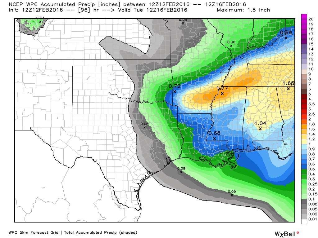
Rain is possible ahead of a cold front that should move through later on Monday afternoon or night, but we’re not talking about inches of rain. Expect a few tenths of an inch, at most.
AFTER MONDAY
For the middle of next week look for highs in the 70s and lows in the 50s, as Houston remains in a more Spring-like pattern.
Posted at 6:40 a.m. CT
It’s SPRING time in Texas!!
Safe to get the tomatoes in the garden?
Plan on getting the garden prepped this weekend and maybe veggies in the ground next weekend.
If you’re in central or south Houston, I’d feed pretty good. I am going to do a deeper dive on this question on Monday morning.