Houston will continue to face very warm, summer-like conditions this week, which is understandable since we’re in the middle of August. However we’ll at least see some moderate rain chances to break the heat up—and possibly better rain chances by early next week.
Today
A stalled front well north of the metro area, in the vicinity of Texarkana, may produce some storms moving toward Houston from the northeast later today, but it’s not clear they will get all the way to Houston. Areas from Cleveland to Liberty to Beaumont are the most likely to see any rain as highs rise to near 100 degrees. Accordingly, a heat advisory is in effect for all of the Houston area.
Tuesday through Thursday
We’re going to see typical August-like weather for most of the work week, with highs of nearly 100 degrees, lots of sunshine, and the potential for some afternoon showers driven by the sea breeze. Low temperatures will remain unpleasant, likely falling to only around 80 degrees. More heat advisories are likely on these days.
Friday and Saturday
A cool front will march across part of Texas, likely stalling out over north-north central Texas on Saturday or so.
Unfortunately it does not appear as though the front will make it all the way to Houston. This isn’t surprising given that we’re still in August, however some showers associated with the front could roll all the way down to places by College Station and perhaps at least parts of the Houston metro area. Highs, otherwise, will likely be in the upper 90s.
Sunday and beyond
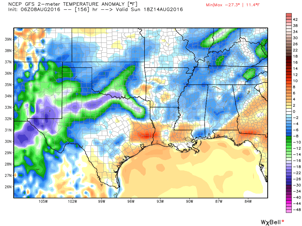
Moisture appears likely to spread into the region from the east, due to a low-pressure system that’s going to bring a lot of rain to the southeastern United States this week. (Some areas of the Gulf Coast from New Orleans through the Florida Panhandle may get one foot of rain, or more). Although I’m not expecting Houston to get inches and inches of rain, by Sunday or Monday we could see enough clouds and showers to keep highs in the low 90s for a few days. Any sort of relief will be welcome, I’d say, and we’ll be monitoring for the possibility of heavy rain.
Posted Monday at 7:15 am CT by Eric
Eric, Matt: Are we headed into another several years of dry cycle due to La Nina? I read that somewhere and wonder whether it will create a false sense of security blunting efforts to force improved land-use and insfrastructure planning in Houston. Thanks.
Good question!! It seems from my small perspective that we are already in it as we have had only .9″ of rain since 11 June total on my yard. I have been baffled at the radar over and over raining “everywhere but here” over and over. I wonder about the Big Picture though also, not just my yard that is the anomaly just now.
I’m amazed that humidity is clocking low (34%). Is that related to the dry air keeping us so hot? Seems like we were always *at least* 70% in summer. Or am I remembering that incorrectly?
Do you expect any severe/strong storms on Sunday, Eric?
At this time, nope.
Eric, there’s something bothering me:
As you know, the Texas electric grid has set a new record Monday for the most power consumed at any given time in the state. Peak demand exceeded 70,000 megawatts Monday for the first time, surpassing the Aug. 10, 2015 record of 69,877 megawatts. ERCOT warned on Monday that temperatures are expected to hover near 100 degrees for much of this week, so the record could be broken as soon as Tuesday.
Remember, last August, when a string of days of 100-degree heat beat the 2011 record, and ERCOT issued a series of conservation alerts asking consumers to reduce their power use when possible? Are we looking at conservation alerts this time—or worse—-actual rolling blackouts? What do you think?
Have you any data on how next week’s rain situation may parallel what is currently happening from Florida to Louisiana? I know some of my met friends are worried about serious flooding. Do they have good reason to be?
The forecasts have kind of been all over the place. At this point I think the biggest concern will be in southeastern Louisiana, rather than the Florida Panhandle.