Houston’s temperatures reached 95 degrees on Wednesday—also known as full summer—and we’ve got one more very warm day before things turn a little cooler, and a little grayer.
Today
With some high pressure over head, mostly sunny skies, and only slim afternoon rain chances today will be another very hot day for the region, with temperatures in the mid-90s. But even for early September, this is pretty typical weather for Houston.
Friday
On Friday a weak front will approach the region from the northeast, and should eventually push through the Houston metro area. Effectively this will increase cloud cover and raise rain chances a bit during the afternoon hours, and some areas may get a few tenths of an inch of rain. The front will moderate temperatures and dewpoints slightly, such that by around sunset, instead of a heat index of 95 degrees, we should see 85 degrees. It won’t feel amazing, but for early September, it should feel entirely pleasing.
(Thank you to Meyerland Animal Clinic for sponsoring Space City Weather this month.)
Saturday and Sunday
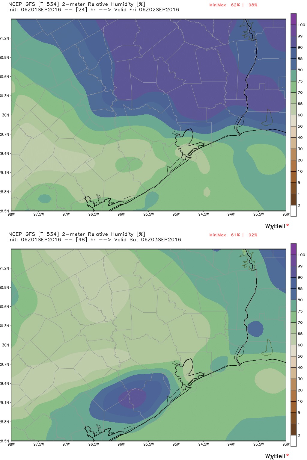
There’s some question as to when a southeasterly flow will return off the Gulf of Mexico, and begin to ramp up moisture levels. For now it appears that any rain chances on Saturday and probably Sunday will be highest along the coast, but even these should be fairly low. Expect highs to remain cooler, around 90 degrees, with partly sunny skies. The evening conditions should be decent, again.
Labor Day
As moisture levels increase, it appears the region will see its best rain chances by Labor Day, with possibly 40 to 50 percent of Houston at least seeing some light rain. Highs should reach about 90 degrees again.
By the middle of next week temperatures should warm just a a bit as higher pressures build back over the area.
Tropics
Tropical Storm Hermine has strengthened overnight in the Eastern Gulf of Mexico, and with sustained winds of 60 mph remains a real threat to Florida and the US East Coast, for reasons I described in a separate post on Wednesday.
Eric:
I am off to NYC today for the labor weekend, coming back to Houston on Monday night. Should be OK?
I think it was you who asked this on FB, and I responded there. Good luck!