Today will get off to a cool start, but conditions are going to warm up fairly quickly across Houston, and we’ll be warm—but not unpleasantly so—for the rest of the work week.
Wednesday and Thursday
As high pressure builds over the area, expect mostly sunny skies and highs of around 80 degrees, with some inland areas perhaps climbing into the low- to mid-80s. Still, we can expect conditions to cool down reasonably quickly during the evening hours, with overnight low temperatures in the 50s for inland areas, and 60s along the coast.
Friday
Another warm day, with mostly sunny skies and highs of around 80 degrees. The difference will be that a cold front arrives on Friday afternoon or evening. At this time the front still looks dry, so I’m not expecting any rain along with its passage.
(Space City Weather is sponsored this month by Darrell Lee’s The Gravitational Leap)
Saturday and Sunday
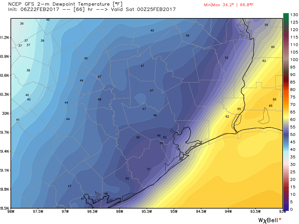
A splendid weekend looms for the greater Houston area. Lows should fall into the upper 40s for inland areas on Saturday morning, and lower 50s along the coast. Temperatures should be similar on Sunday morning. Both days will be on the cooler side, with highs Saturday likely in the upper 60s, and in the lower 70s on Sunday. Expect a lot of sunshine.
Next week
As we’ve seen for much of this winter, cold fronts don’t seem to have much sticking power. This will be the case again this weekend, as the onshore flow likely resumes sometime on Sunday, mostly likely during the afternoon or evening hours. This will set the stage for increasing moisture levels and a slight chance of rain on Monday and Tuesday. At this point both the GFS and European forecast models suggest another fairly short-lived cool front will push through on around Wednesday of next week, bringing a slightly cooler start to March.
Posted at 6:50am CT on Wednesday by Eric