Good morning. We’re off to a cool start in the mid-40s, but that won’t last. Warm days are coming.
TODAY-SATURDAY
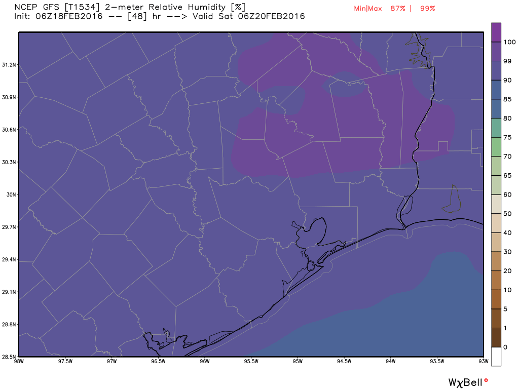
After a cool, dry Wednesday and Wednesday night winds are now moving in from the Gulf of Mexico, and we’ll begin to see warmer and eventually more humid weather. This means we’ll have three mostly sunny days with highs around 80 degrees and lows around 60. Strengthening southerly winds should mean that, by Saturday, conditions are fairly muggy for late February.
SUNDAY
By later Saturday or Sunday we’ll start to see more cloud cover, and eventually that could bring some light rain on Sunday. Highs will remain near 80 degrees and it will again be quite humid. However I would not be too concerned about any rain showers disrupting outdoor activities—they should be brief and light.
MONDAY
A slow moving cold front will approach Houston on Monday, leading to a better chance of widespread light to moderate rain Monday through the middle of Tuesday. With the rain showers I expect highs on Monday only to climb into the mid-70s. The big question is: How much rain? I wish I could say 1 to 3 inches, which is what we need, but for most areas it probably will be closer to one-half inch.
TUESDAY and BEYOND
The front itself should move through Houston late Monday or early on Tuesday, and push off the coast. Showers should end during the day on Tuesday and highs probably will only climb into the 60s. Highs should remain in the 60s for most of next week, with lows in the 40s and 50s.