Well, that was nice. Houston’s weekend, with lows around 60 degrees, sure marked a pleasant change from four months of summer. We’ll warm up again some now, but another front before next weekend should make for splendid conditions again.
Today
We’re starting to see a slight rise in moisture levels across Houston this morning, and along with that we’re going to feel some more humidity. Today should be partly to mostly sunny, with highs near 90 degrees as well.
Tuesday through Thursday
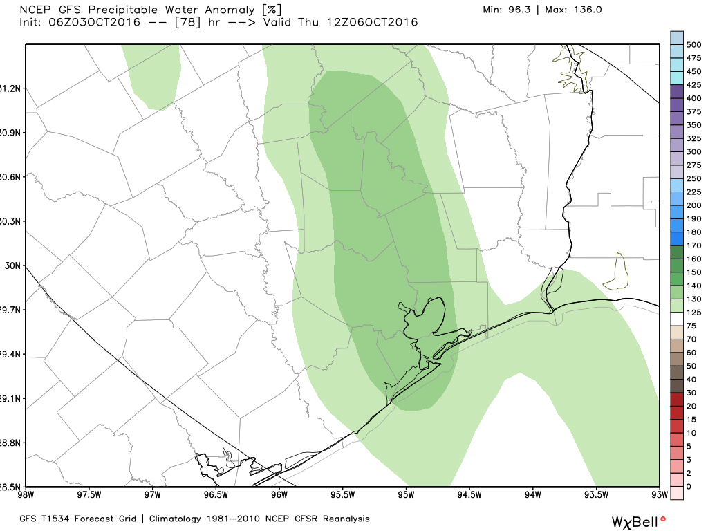
Houston will fall back into a more typical early-fall like pattern, with warm days with highs near 90 degrees, and muggier nights, with lows in the low- to mid-70s. With the moisture return we’ll have a chance of some scattered rain showers and thunderstorms, maybe 20 to 30 percent most days, but I’m not expecting anything too extreme.
(Note: Thank you to Innovo IT Solutions for sponsoring Space City Weather in October.)
Friday
A cold front should push across the region some time on Friday. Right now the frontal passage itself looks mostly dry, but I wouldn’t rule out some showers during the day. Timing remains uncertain, but right now a passage on Friday afternoon or evening looks most likely.
Saturday through Monday
Well, the weekend sure looks nice again. In the wake of the front expect partly to mostly sunny days, lows around 60 degrees in Houston, with cooler temperatures to the north, and slightly warmer conditions closer to the coast. Highs should be around 80 degrees.
In short, just another spectacular weekend awaits us.
Hurricane Matthew
Although this storm will have no effects on Texas or the Gulf of Mexico, it’s worth sparing a few words for this incredibly powerful category 4 hurricane, with 130 mph winds. Jamaica, and especially Haiti, will bear the brunt of the storm’s dangerous winds. It’s worth noting that the last major hurricane to strike Haiti from the south like Matthew was Hazel, in 1954, which caused 1,000 deaths.
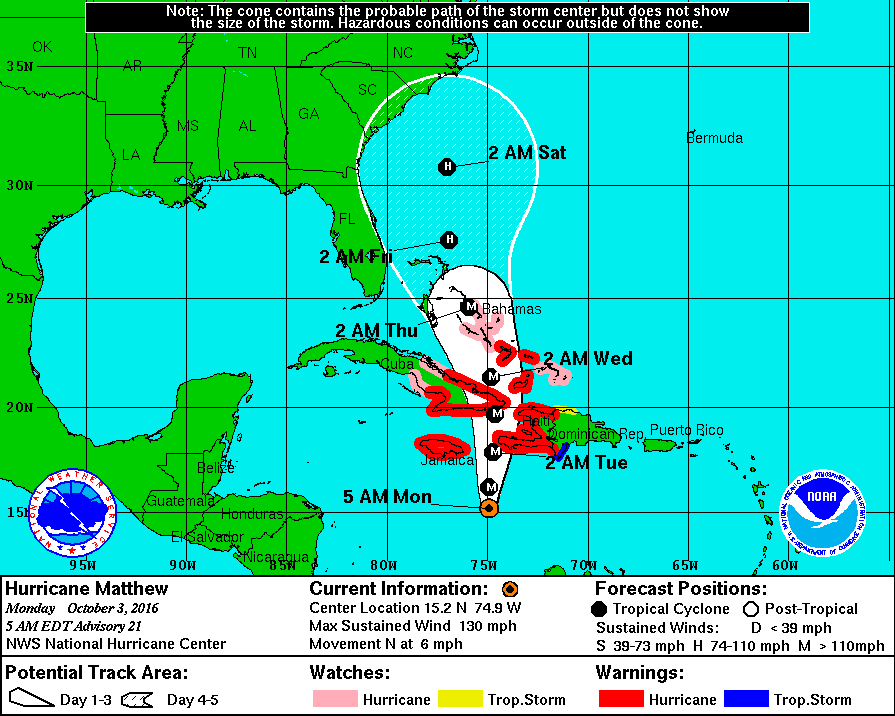
It appears more likely than not that Matthew will remain to the east of Florida this week, but its track beyond that may include very significant effects further up the US East Coast.
Are you aware that the track has shifted west, Eric? What does this mean for Houston if this trend continues?
Absolutely nothing.