From a meteorologist’s standpoint, it has been exceptionally boring of late in the Houston area and much of Texas for that matter. Most people certainly won’t complain though. Since January 7th, we’ve accumulated a whopping 0.84″ of rain officially in Houston. Typically, this is our driest time of year, but given the expectations that we may have had with this so called “Godzilla” El Nino, there’s no question rainfall has been something of a disappointment here (and in California for that matter, though the crucial snow pack has held strong so far).
But I digress…
The next few days look brilliant.
TODAY
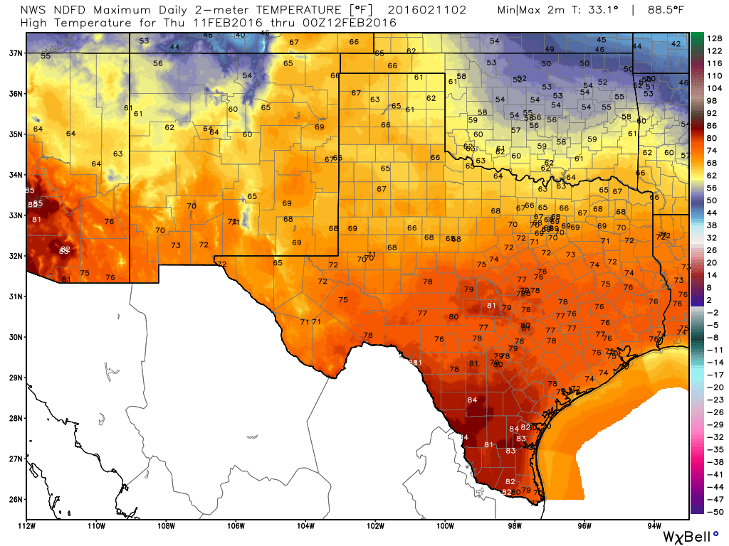
Pick your favorite positive adjective and use it to describe today: Super, brilliant, excellent, stellar, epic, amazing, wonderful… It looks great. Wall to wall sunshine is expected, with high temps pushing or eclipsing 75° officially. While not as desert-like as it was earlier this week, humidity will remain low.
TOMORROW AND HOLIDAY WEEKEND
We have a rinse and repeat weather pattern for the most part into the weekend. Friday may start off with some patchy fog, but it will be a sunny and mild day again, with temps back into the mid-70s. We have a weak front on Saturday that will shave a few degrees off temperatures. We’ll peak in the upper-60s to around 70° or so Saturday afternoon. Sunday will be similar to a couple degrees cooler. Both weekend days will feature plenty of sunshine.
Presidents’ Day is probably the best chance of a little rain right now, as a stronger cold front moves through. As Eric said yesterday, it still looks low-end in the rain department, with only a couple tenths of an inch at most right now. We’ll cool off a bit behind that for Tuesday.
Are we having a drought?
Not yet, Ron.