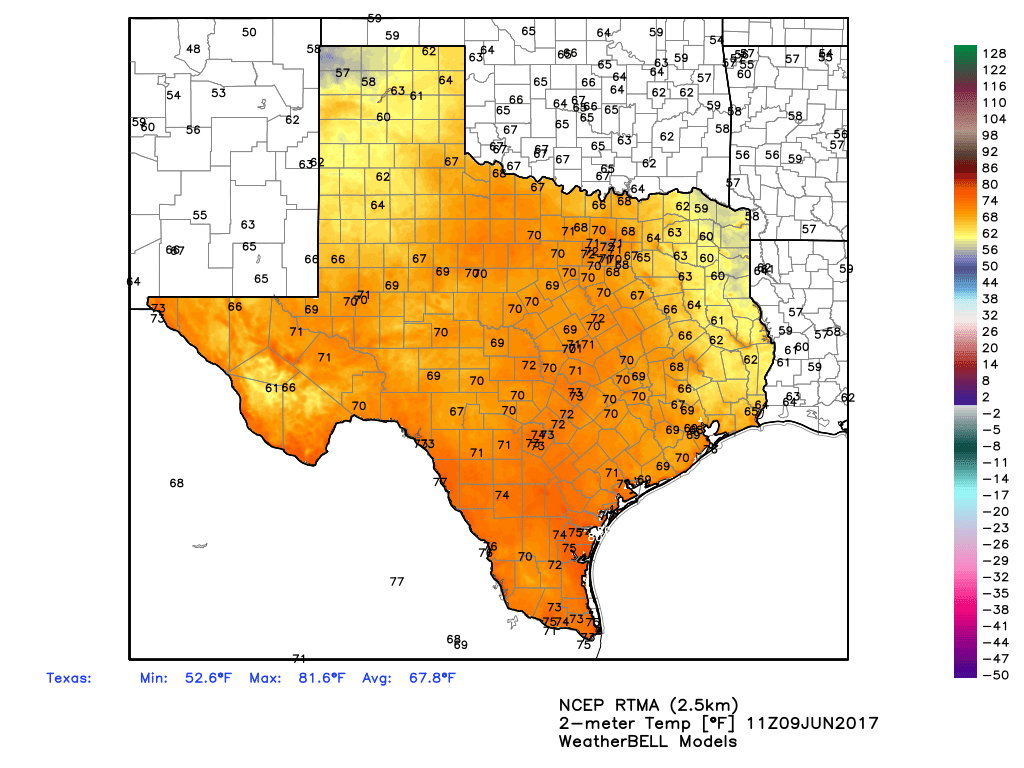
Houston is enjoying another really pleasant morning for June, with lows in the upper 60s in parts of the city, and ample dry air. Enjoy this fine weather for this time of year, because it will not last as we descend deeper into summer.
Friday
The easterly winds bringing dry air will eventually swing to out of the southeast by later today, but we should enjoy one more relatively dry day, with highs near 90 degrees, and overnight lows again in the upper 60s for inland areas, and lower 70s along the coast.
Saturday
Another nice, sunny day, with highs near 90 degrees and mostly sunny skies. Lows by Saturday night and into Sunday morning will be warmer, however, likely only falling into the low- to mid-70s.
Sunday
The onshore flow will probably resume in full force, with southerly winds gusting to around 20mph, and this moisture could allow for the formation of some scattered showers and thunderstorms. Most of the day should be mostly sunny for most people, however.
Monday and Tuesday
A healthy chance of rain returns to the forecast area by the start of next work week, as an upper-level low pressure system moves into the area. Monday appears the most likely day, but both days should see at least a moderate chance of showers and thunderstorms, with the region perhaps picking up a quarter of an inch of rain, give or take. Mostly cloudy skies could limit high temperatures to the upper 80s.
Wednesday and beyond
A June-like pattern seems probable for Houston, with warm days in the low 90s, and relatively low rain chances during the afternoon hours, as the sea breeze moves inland, and temperatures reach their peak. Like I said, enjoy the next couple of mornings, because Houston won’t see their like for awhile.
Posted at 7:30am CT on Friday by Eric