Cooler air has arrived, with overnight lows falling into the 40s north of Houston, and into the low 50s for most of the rest of the metro area. Thus begins a period of prolonged, cooler winter-like weather.
Today through Sunday
Conditions will be more or less sunny to partly sunny the next four days, with a reinforcing cool front arriving on Saturday to keep things on the chilly side. Expect highs of around 60 degrees most days, with lows of around 40 degrees—warmer for the coast and cooler for inland areas. Rain chances will be near zero, even Saturday’s frontal passage should be dry for most areas. Enjoy the return to winter.
Monday through Wednesday
Temperatures will begin to warm up, from the upper 60s on Monday to the lower 70s on Wednesday. Rain chances remain near zero, and lows will probably stay in the low 50s through Wednesday morning under the influence of moderate southerly winds.
Thursday and beyond
For the second half of next week there are two big questions. The first concerns the timing of the next front. For now it seems probable—although not certain—that any fronts will be delayed past Super Bowl weekend. This should keep highs in or near the 70 degree mark through Sunday. A faster front would make for a colder day, of course.
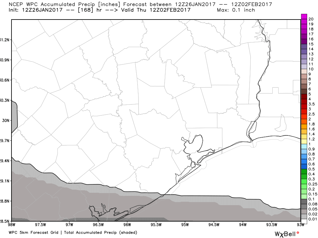
The second question concerns the potential for some heavy rain, which seems possible as moisture levels begin to rise toward the weekend. The major global forecast models are playing around with some upper-level low pressure, and there’s the potential for some heavy rain during Super Bowl weekend, or just afterward. How great is that potential? Fairly low at this point, but something worth watching.
Posted at 6:50am CT on Thursday by Eric
Looks like a good weekend to get stuff done outside – assuming the mud has dried out from last week’s 8″ of rain.
Yes, a great weekend for working outdoors, hiking, or anything else that’s fairly vigorous.