Some rain chances finally return to Houston, as tropics sizzle

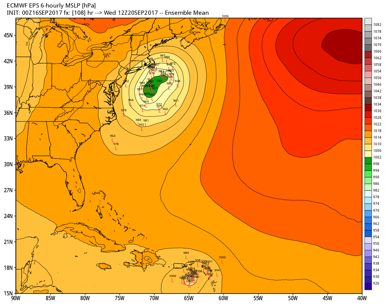
For Houston, the first half of September has been quite pleasant—with average temperatures running about 4 degrees below normal thanks to an early season cold front. Alas, the second half of the month probably will end up a few degrees above normal, as it doesn’t look like we’ll see another cold front for another 10 to 12 days, at least. Rain chances also return to the area after a long break.

Monday

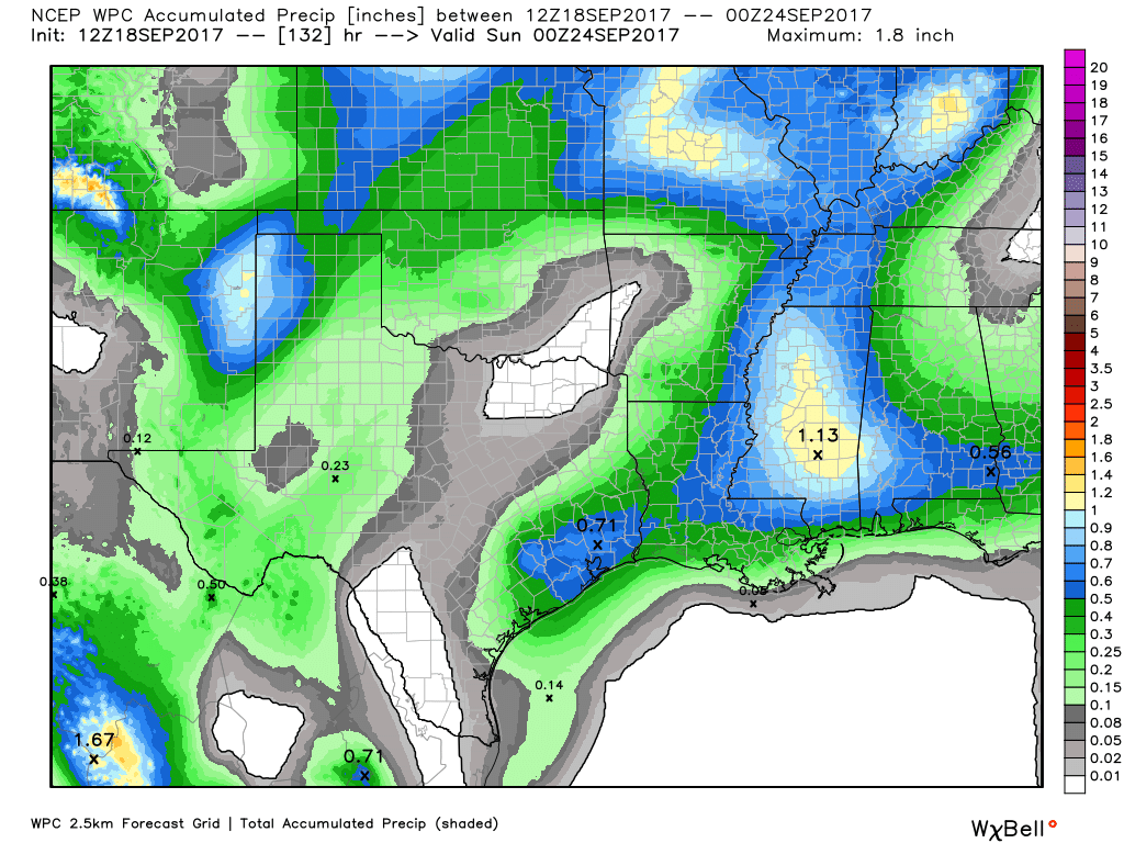
Today brings the region its best rain chances since Hurricane Harvey departed the area nearly three weeks ago as atmospheric moisture levels rise, and high pressure abates some. I don’t think this means more than scattered showers later today, but some areas could pick up a few tenths of an inch of rain. Highs in the low 90s.

Tuesday through Thursday

A more or less similar pattern continues with a moist atmosphere, and some moderate atmospheric disturbances pulsing through the area. This will lead to partly sunny days, with perhaps 40 to 50 percent of the area seeing light to moderate rain showers each day. Again, these are nothing to be concerned about from a flooding perspective, and area lawns and trees will be grateful. Highs around 90 degrees.

Most of Houston may see about one-half inch of rain, or so, through Saturday. (NOAA/Weather Bell)

Friday through the weekend

High pressure may build back near the area, but probably not right on top of Houston. This may scale back rain showers a bit, but a chance will remain as high temperatures remain consistent near 90 degrees. In other words, this week’s weather probably won’t change much through the weekend.

See full post

Atlantic tropics still hot, but no immediate Gulf threats

Welcome to the weekend! Some rain chances will return to Houston later on Sunday, and most days next week. But it’s nothing we’re concerned about. In response to a number of questions about the tropics, however, we wanted to provide an update on all of the activity out there. We have a lot of it in the Atlantic.

As we get deeper into September, the Atlantic tropics remain active. (NOAA/Space City Weather)

Hurricane Jose

This storm, which has been waggling around the tropical Atlantic for days, finally is beginning to follow a track—and this track may eventually lead to some tropical effects for the East coast. Here’s a look at the European model ensemble forecast for the center of Jose on Wednesday morning, which shows a fairly large tropical storm or hurricane moving up the east coast, but offshore, early next week.

European model Hurricane Jose position forecast for Wednesday morning. (Weather Bell)

Most of the model guidance suggests the storm will turn northeast by around Tuesday or Wednesday, and this would keep the center away from Long Island and Boston, Mass. Right now for those locations I’d expect some gusty conditions and swells, but nothing too significant. Some areas of Boston and Cape Cod could see 2 to 4 inches of rain, but again, nothing too extreme.

If the track for Jose moves west and brings the center to shore, and the storm becomes stronger than forecast, its effects could become more concerning.

See full post

Harvey’s other evil: Recapping an incredible Houston area tornado outbreak

During Hurricane Harvey, I think we did a good job making pretty clear that our focus was to be on flooding. And ultimately, the majority of the damage and devastation wrought by Harvey as it moved through our region came via water. But one of the most surprising and occasionally unsettling aspects about Harvey’s impacts on Southeast Texas were the tornadoes. The warnings came fast, they came furious, and a number of them were confirmed.

The fine folks over at U.S. Tornadoes put together a really nice summary of this event, which likely ranks Harvey close to or in the top ten for most prolific tornado-producing tropical systems in the United States.

The Houston National Weather Service forecast office issued over 150 warnings for tornadoes through the storm. During that hellacious Saturday night and Sunday morning, over 30 tornado warnings were issued, most of them overlapping with flash flood warnings. We strongly encouraged people to keep their phone alerts on that night because the frequency of tornadoes was almost shocking (and because of numerous videos of an actual tornado in northwest Harris County late that Saturday afternoon that sort of drove home the point). That, coupled with the flooding likely lead to a long, sleepless night for many in the area. I’ll have some comments about the phone alerting issue at the end of the post.

The early tornadoes

First, let’s recap some of the tornadoes that actually occurred. The NWS Houston office has confirmed nearly 30 tornadoes as of September 14th, all of them either EF-0 or EF-1 strength. Here’s a look at some of the tornadoes.

See full post

Mostly quiet weekend for Houston

Good morning, and welcome to another Friday. Before we get into the forecast, I wanted to bring your attention to an event that was held yesterday at Rice University. “Flooding, water reuse and resource recovery: Trends and opportunities” was held at the Baker Institute at Rice. They were planning to discuss water use issues initially. But post-Harvey, they put together a good panel including Jeff Lindner, Harris County’s Flood Control meteorologist to discuss Harvey and some of the issues around flooding. I encourage you to watch the presentations, which can be accessed from the event web page. After the three presentations, there was a Q&A period. This is one of many conversations that will need to continue in the wake of Harvey.

One other quick note. I’ll have a long post later this morning that will recap the incredible tornado outbreak that accompanied Hurricane Harvey here in the Houston area. So far, the National Weather Service has confirmed 29 tornadoes in the Houston area. We’ll drill into some of the bigger ones and ones we have damage pictures from. Look for that around 10 AM.

On to the forecast…

Friday & Weekend

This weekend should be fairly straightforward. We should be dry once again today. We hit the low 90s on Thursday, and we’ll probably hit that or exceed it again today. Aside from the heat and humidity, it will be sunny.

For Saturday and Sunday, not a ton of change, but there will be some subtleties. Precipitable water values will edge upwards from just over an inch today and Saturday to around 1.5″ to 1.75″ on Sunday. Don’t worry, that is not abnormal for this time of year. It does mean that we should see at least a few showers and perhaps isolated thunderstorms around each afternoon, particularly on Sunday. Another don’t worry moment: The rains won’t be widespread, and they shouldn’t be too heavy either (and many areas will stay dry). But don’t be shocked or alarmed if you see some showers around this weekend.

See full post