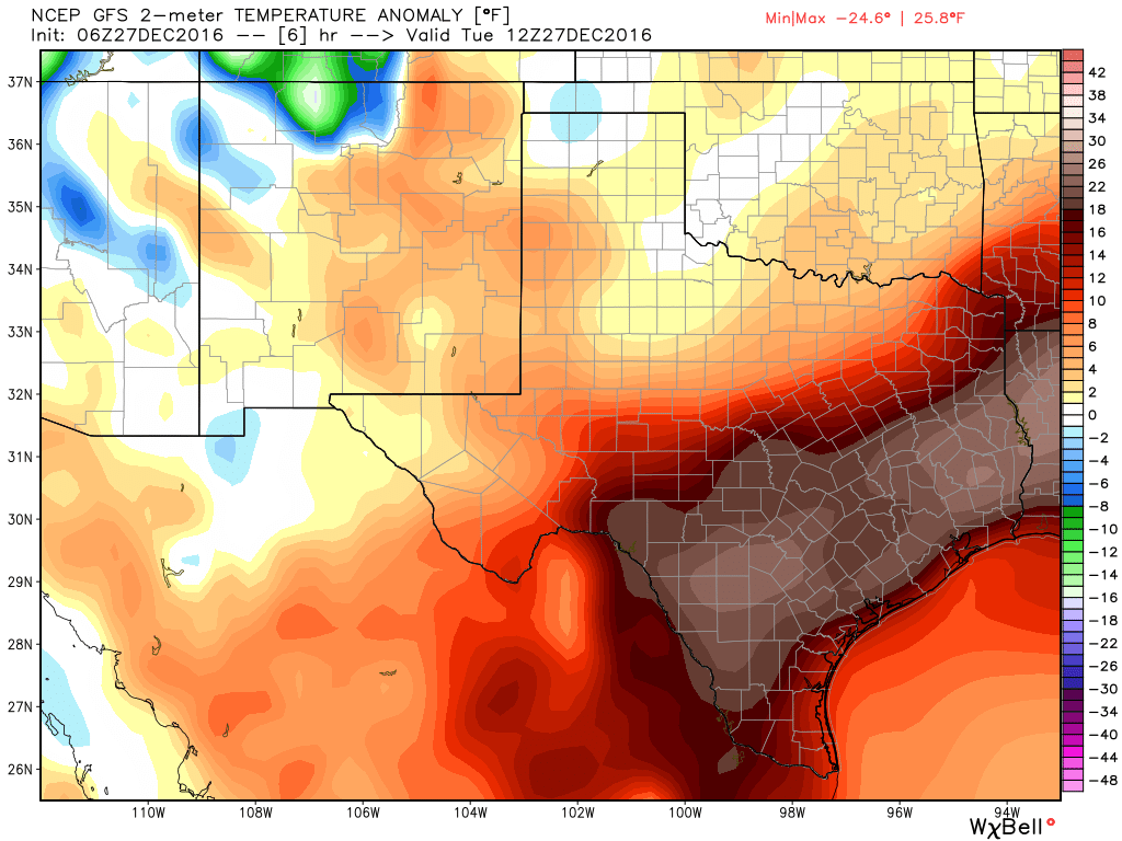
This month’s anomalously warm weather continued on Monday, with a record high of 84 degrees. How abnormal is that? Just one day—one single day—has been warmer than that in all of the Decembers in more than a century of weather records of the city (Dec. 3, 1995, 85 degrees). The average temperature on Monday, 78 degrees, was 25 degrees above normal. Fortunately, this can’t, and won’t, continue for much longer.
Today
After a foggy start this morning (a dense fog advisory remains in effect until 9am CT), highs today should max out in the upper 70s. Mostly cloudy skies, and some scattered showers, should limit temperatures more than anything. A front will approach the region from the northwest, but should stall out before pushing into the city itself. This should help lows fall into the mid-60s tonight.
Wednesday
One final, very warm day. A few stray showers are possible, but for the most part expect a warm day with partly sunny skies and highs in the upper 70s.
Thursday and Friday
A real cold front will finally blow into Houston on Thursday, likely between sunrise and around noon. The front is unlikely to produce any appreciable rain as winds pick up out of the north. This will be one of those days where temperatures start out in the upper-60s in the morning and then hold steady or fall during the daylight hours.
Lows Thursday night should fall into the mid- to upper-40s for the Houston area, and then highs will struggle to reach 60 on Friday, under partly sunny skies.
New Year’s Weekend
But once again, the cold won’t stick. Some time later on Friday, or Saturday morning, the gusty onshore flow from the Gulf of Mexico will resume, bringing warmth and moisture back into the region. Temperatures will rise to about 70 degrees on Saturday, and only fall back into the upper 60s by around midnight. The primary concern for New Year’s revelries will be rainfall. While conditions will be most favorable for light to moderate rain showers to the east of Houston, certainly some light rain will be possible in the metro region itself on New Year’s Eve afternoon and evening. Rain chances will continue through New Year’s Day, with highs of around 70 degrees.
A cold front will probably arrive on or around next Tuesday, bringing colder conditions for most of the rest of the week. Winter will start to feel little more like winter.
Posted at 7:10am CT on Tuesday by Eric
Great work! Thank you!
Do you think this record-breaking heat is related to climate change? I know it is hard to say for any one specific weather event or weather pattern. What are your thoughts?
Warmer weather like this is consistent with climate change, and when you look at temperature records for Houston they’re occurring more frequently in recent decades. Some of that is due to development around Bush Intercontinental Airport, certainly, but a warming climate also definitely plays a role.