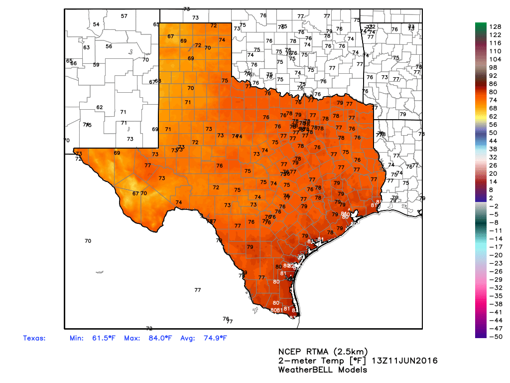
Happy Saturday, everyone. It looks as though we’re going to remain in a summer-like pattern this weekend.

Early this morning saw some scattered showers and thunderstorms develop near the coast and move inland, primarily to the east of Houston. They’re now burning themselves out near Wallisville and Liberty. After this we should see a break during the rest of the morning. However with temperatures likely rising into the upper 80s to 90 degrees this afternoon I expect the seabreeze to generate some showers again today like Friday. I expect these storms to be somewhat scattered, but like on Friday could be intense where they develop. The most likely time for storms to develop is probably from around 3pm CT to shortly before sunset.
We’ll probably see more of the same on Sunday and Monday, before high pressure builds over the middle of next week and probably shuts off rain chances for awhile. It’s possible we’ll be in the middle-90s by Wednesday or Thursday, and starting to remember what summer in Houston really feels like.
Eric Berger, you are the best! I read your posts with my morning coffee, the only way for me to start the day!
Thanks Susan!
What I don’t understand is where is this high-pressure going to be? Looking at this picture here:
https://pbs.twimg.com/media/CkoE2M_UkAEoDIf.jpg:large
It seems that the high-pressure is covering much of the US, with large areas of the Midwest and South covered, and it seems to be focused more on the Midwest. Thus, I don’t know if the rain-chances will completely shut off for the time period.
Almost completely shut off, yes.
So when is that first cold front coming?
Third week of September, or thereabouts, usually. We can hope for sooner.