Showers possible today, clearing tonight for Fourth of July fireworks

Good morning, and I hope everyone has a great Fourth of July! In observance of the the holiday, today’s post will be fairly brief, with us returning to normal operations on Wednesday. As for the weather, our overall thinking on this week’s forecast has not changed too much. We’re heading toward a rainier pattern for the mid-week, followed by hotter and sunnier weather this weekend and next week.

Fourth of July

Skies will be partly sunny today, with highs in the mid-90s. We are starting to see the development of some showers off the Texas coast, in the Gulf of Mexico, at around sunrise. These will gradually transition inland today, with the bulk of showers and thunderstorms developing between late morning and late afternoon. Your chance of seeing rain is about 40 percent. The good news is that we generally expect these showers to clear out this evening, with partly cloudy skies and lows of around 80 degrees tonight. The viewing forecast for fireworks looks fine fine, if sweaty, as is customary in Houston.

NOAA rain accumulation forecast for now through Friday. (Weather Bell)

Wednesday and Thursday

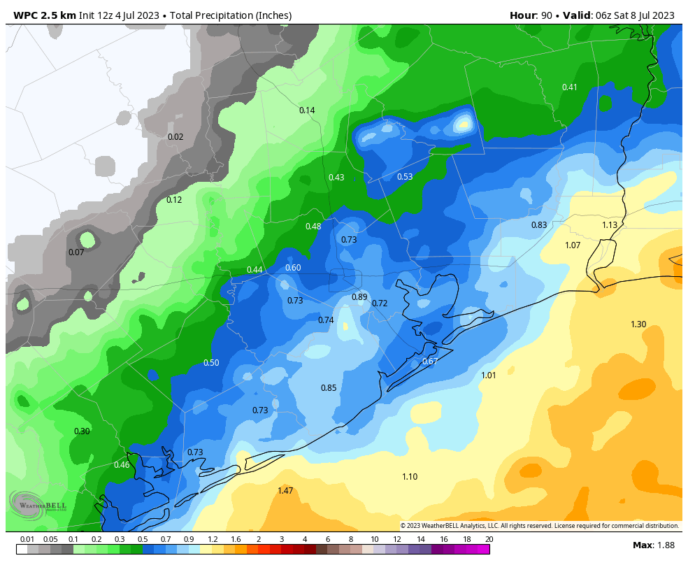
The details are still to be determined, but we’re looking at a pair of cloudy and cooler days, with highs likely only reaching about 90 degrees, give or take. Both days should see widespread showers and thunderstorms as tropical moisture pushes inland from the Gulf of Mexico, with lesser chances overnight. Look for accumulations, on average, of 0.5 to 1.5 inches, with the higher totals more prevalent toward the coast. This will be our coolest, and likely wettest weather for awhile for the foreseeable future.

Friday and beyond

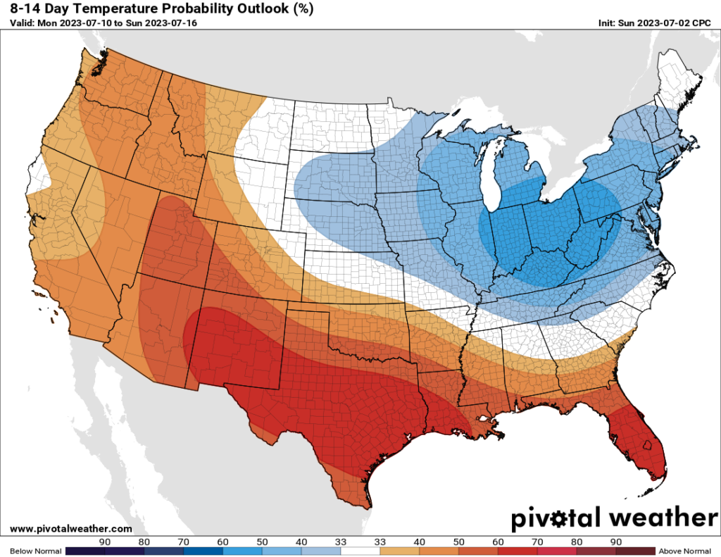
Rain chances don’t go away on Friday and Saturday, but they begin to diminish as high pressure starts to build back over the area. Look for highs in the mid-90s to start out, pushing back into the upper-90s toward 100 degrees by the middle of next week.

See you tomorrow!

Houston’s pattern has finally changed, with rain and cooler temperatures this week

Before looking ahead to our weather in the days ahead, let’s briefly look back at June. The first 10 days of the month were relatively cool, with below normal temperatures and plenty of rainfall. Then our pattern dramatically shifted for the latter two thirds of the month, with highs generally in the upper 90s to 100 degrees, and extremely uncomfortable weather. Overall, with an average temperature of 85.1 degrees, this June tied 1980 for the sixth warmest of all time in Houston.

The temperature went up, and up again, in June in Houston. (NOAA)

As we saw on Sunday afternoon and evening, the high pressure that dominated much of the last three weeks of our weather in June has moved off, allowing for slightly cooler weather and healthy rain chances. This pattern will persist for most of this week before high pressure starts to assert control again by next weekend.

Monday

High temperatures today will be about 95 degrees, which is hot, but not as hot as we’ve been. Skies will be partly sunny later this afternoon, with a mix of clouds and sunshine. Rain chances are probably about 40 percent, with the majority of showers developing near the coast this afternoon and then migrating inland. As we saw on Sunday, some thunderstorms are possible. Winds will be generally light, out of the south or southeast, at about 10 mph. Lows tonight will drop to around 80 degrees, or just below.

Tuesday

Conditions will be more or less the same for the Fourth of July, albeit with slightly better shower coverage. Let’s call it a 50 percent chance of rain. Fortunately, it does appear as though most of these showers will be diurnal in nature, assisted by daytime heating. This means that by the evening hours, and particularly after sunset, the majority of rain should be ending. This should allow for fireworks to proceed in most locations.

Wednesday and Thursday

Rain chances will peak during the middle of the week as low pressure and tropical moisture seep into the region from the Gulf of Mexico. A majority of the area should see showers and thunderstorms on these days, with accumulations generally averaging from 0.5 to 1.5 inches, although there will be plenty of outliers. Partly cloudy skies and rain-cooled air should moderate temperatures, keeping them in the low-90s for most of the area.

Friday

At some point the rain party is going to end, and that may happen as soon as Friday. Expect a partly sunny day with perhaps a 50 percent chance of showers. Highs will be in the mid-90s.

Texas returns to above-normal temperatures next week. (Pivotal Weather)

Saturday and Sunday

High pressure will start to build this weekend, and this should lead to a pair of mostly sunny days with highs in the mid- to upper-90s. Rain chances don’t look to be zero, but they’re probably not above 20 percent for both days. It’s going to depend on how quickly the high pressure builds over the area.

Next week

The majority of next week looks fairly hot as high pressure reigns, and should peak by Wednesday or Thursday. Heat advisories are likely to be necessary once again. Rain chances look accordingly low for much of the week.