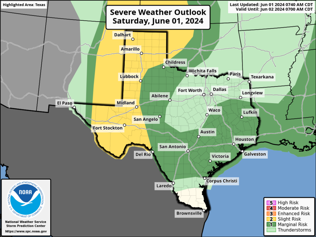
In brief: While the probability of severe weather is lower today, the Houston region is still likely to see the development of storms later this morning, lasting through the afternoon hours. Please be weather-aware if you’re out and about today.
Welcome to June, and the beginning of the Atlantic hurricane season. Speaking of which, on our companion site The Eyewall, Matt lays out some reasons by you should be wary, but not decidedly worried about what’s expected to be a frenetic season. The good news is that things look quiet for now.
Today’s weather may not be quiet in Houston, however. As of 9:30 am this morning, a mass of showers and thunderstorms has developed to the southwest of Houston, near Palacios and Matagorda Bay. Generally, I expect these storms to lift to the north-northeast into the metro area later this morning and throughout the afternoon hours.

What does that mean? If you have activities planned from around 11 am to 7 pm today, you should be weather-aware. Considering variables such as atmospheric instability, I don’t think we’re looking at bedlam. Yes, there’s the potential for small hail or damaging winds, but conditions are not ideal for severe weather. So it’s a possibility. Perhaps a bigger concern is that some of the storms today may be slow-movers, so a few parts of Houston may see some rain bullseyes of 2 to 4 inches and some street flooding. For most of us, however, I think the impact will be less. In any case, it does appear as though things will start to clear out with the loss of daytime heating this evening.
I don’t feel overly confident in the forecast for Sunday, but it does seem possible that we could see some scattered to isolated showers and thunderstorms during the afternoon hours, again, with daytime heating. Coverage should be less than today. If the forecast changes significantly for later today or Sunday, we’ll update as warranted. If not, we’ll see you on Monday morning.

Thanks for the update. While I like the rain I need a dry couple of days to get some yard stuff cleaned up.
Read an interesting post on a local news site (11) explaining the dome over Mexico and the route these storms follow along the edge, which we’re in. Is this too simplified? Are there other contributing factors to the steady line of storms we’ve experienced?
Thanks for all y’all do!
Thank you for your reporting.
Lol a high of 85 was forecasted today, it’s already 88.
89 here in the URBAN CORE. But that will drop in about 4 minutes. Here comes the dark and windy now. Been definitely affected by these storms and didn’t used to be. Maybe all the new bills for repairs….ugh.
Will this trend of random thunderstorms continue throughout the summer this year or will we have another drought where some areas don’t get rain for over 60 days