In brief: In today’s update we discuss a weak front that will work its way into Houston today. We also look ahead to a soggy Valentine’s Day, and then ample sunshine for the remainder of the holiday weekend.
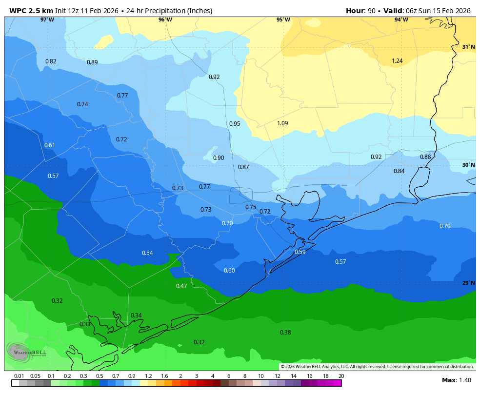
Valentine’s Day outlook
Well, this won’t be the frigid holiday weekend that Houston experienced five years ago, that’s for sure. However, Saturday and Saturday evening do look pretty soggy across the region as a disturbance moves into the region, preceding a cold front. Rain chances are nearly 100 percent on Valentine’s Day, although most of this should fall as light to moderate rain showers. It won’t be constant, and it probably won’t be severe, but if you’re planning anything romantic outdoors I would definitely have some fall back plans. Most areas will likely pick up between 0.5 and 1 inch of rain, although as usual totals will vary widely. Rains should end sometime on Saturday evening or early Sunday.
Wednesday
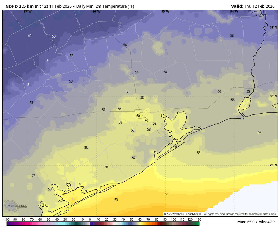
We are seeing some mostly light showers north and northwest of the city this morning (i.e. in locations such as The Woodlands). This rain is associated with a weak front that is slowly moving into the area. This front is not particularly strong, and it is fading. But I expect it to bring some drier air into the region today and tonight, probably at least down to the Highway 59/Interstate 69 corridor, and possibly even closer to the coast. High temperatures today will still reach the upper 70s for most locations, with partly sunny skies. Lows tonight probably will drop into the 50s for inland areas with the drier air, but I am less certain about temperatures near the coast.
Thursday and Friday
These days both should be partly sunny and warm, with temperatures in the upper 70s. Winds will be generally light, from the south. Lows on Thursday night will drop to around 60, while Friday night will be a few degrees warmer.
Saturday
As noted above, Valentine’s Day is looking fairly wet, with showers likely and perhaps a few thunderstorms. Highs will probably reach the mid-70s, with lows on Saturday night in the upper 50s.
Sunday and Monday
For many people this will be a three-day weekend, with President’s Day on Monday. Luckily, both of these days will be really nice with sunny skies and highs in the low 70s. Sunday morning looks breezy, but things should settle down some by Sunday afternoon, hopefully. Lows on Sunday night will drop to around 50 degrees in Houston, with cooler conditions for outlying areas.
Rest of next week
Most of the rest of next week will see warmer temperatures in the upper 70s to 80 degrees, with nighttime lows generally around 60 degrees. Another weak front may arrive by Thursday or Friday of next week, but there is no clear signal in the models either way. As noted in the title of today’s update, spring-like weather is here to stay for awhile even though we’re still in the middle of February.
