In brief: In today’s post we discuss Houston’s brief run at normal high temperatures today, and then look at blustery (but dry) cold front arriving Thursday evening. This will lead to a cold weekend, with the chilliest temperatures coming on Sunday morning.
Briefly reaching normal highs
If you were wondering, Houston has already sailed through the typically “coldest” period of winter. This occurs from January 6 to January 14, when the average high is 63 degrees, and average low is 43 degrees. By late January we’ve already reached an average high of 65 degrees for the month.
However, you may have noticed we’ve been quite cold of late. Houston’s high temperature has not reached 65 degrees in more than a week, and after doing so today (probably) it won’t again until next Monday or Tuesday, at least. So enjoy today’s brief taste of “normal” January weather before another front arrives tonight.
Thursday
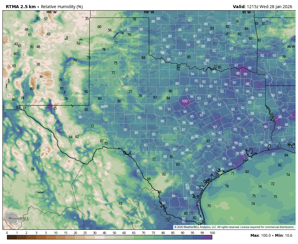
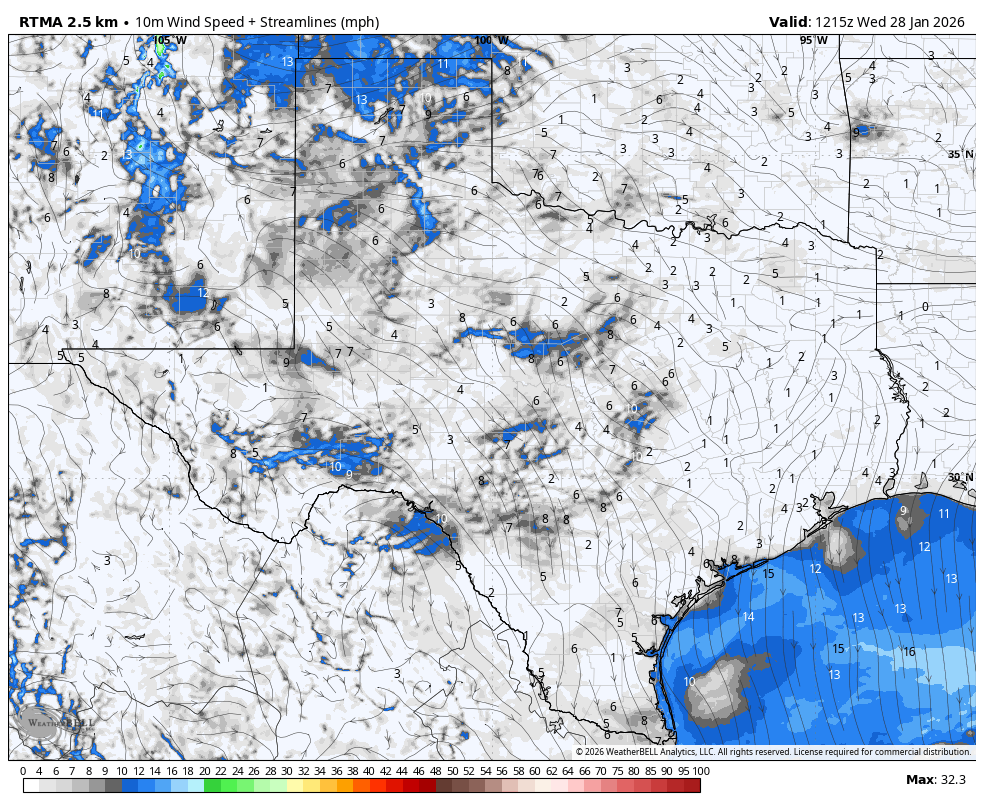
We are seeing some patchy fog again this morning, but this should dissipate fairly quickly as sunny skies prevail today. With southerly winds we are going to see temperatures warm nicely into the 65 to 70 degree range this afternoon. A cold front should push into the area this evening, likely between 8 pm and midnight. As there won’t be enough moisture aloft to support showers, I expect this to be a dry front. However its passage will be noticeable as winds will quickly pick up from the northwest, gusting up to 25 mph, or perhaps higher. Lows tonight will drop to around 40 degrees in Houston, with cooler conditions for outlying areas.
Friday
Skies should be partly to mostly cloudy on Friday, with highs generally in the lower 50s. We’ll also have those persistent northerly winds, which will still be gusty at times. A light freeze is possible in Houston on Friday night in Houston, with temperatures likely dropping into the 30 to 33 degree range.
Saturday
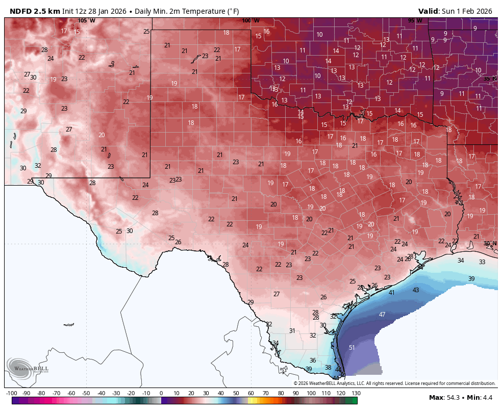
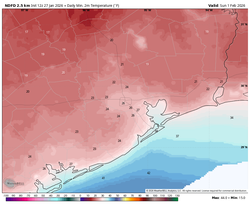
A secondary surge a colder air arrives on Saturday, and accordingly this will be a very cold day. Look for sunny skies and highs in the low 40s. Temperatures will bottom out on Saturday night, with lows likely in the 25 to 30 degree range in Houston, with cooler conditions for outlying areas. A hard freeze will be possible, but temperatures should be a few degrees warmer than what the region experienced earlier this week.
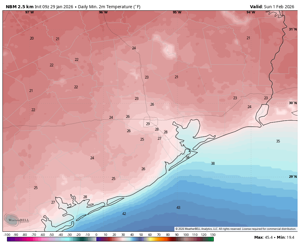
Sunday
Conditions will be a little warmer on Sunday, with sunny skies and highs in the vicinity of 50 degrees. Lows on Sunday night probably won’t freeze in Houston, but it will be close; and a light freeze will be possible further inland.
Monday
We’re going to warm back up into the 60s next week, and this time there will be time for moisture to return to the atmosphere ahead of the next front. The overall pattern is not exactly clear, but from Tuesday night through Thursday I expect a decent chance of rain, with overall accumulations perhaps somewhere on the order of 0.5 to 1 inch. Temperatures cool back down by Friday or so of next week, but at this time a freeze seems unlikely.