In brief: In this morning’s post we discuss the phenomenon of freezing fog, which parts of the region are experiencing this morning. We also talk about Houston’s brief warm-up over the next two days before another Arctic front surges in for the weekend. At least there’s no freezing precipitation this time.
Freezing fog
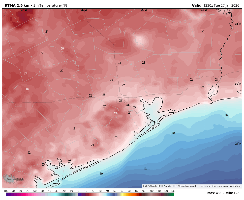
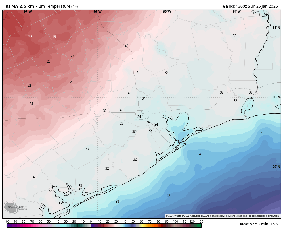
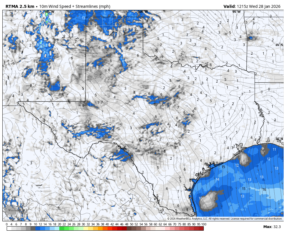
You’re familiar with fog. But are you familiar with freezing fog? It’s not something we have to contend with too often in Houston, but conditions are such that fog is forming this morning (light winds, dewpoints near air temperatures, etc.) Freezing fog occurs when tiny droplets of fog freeze instantly on exposed surfaces outside, including windshields and walkways. If it’s freezing at your location this morning, which it is for large areas outside of Houston’s urban core, you may notice a slight sheen of frost or ice this morning. It will be slippery so take care.
Wednesday
After a chilly start to the morning, we are going to see highs this afternoon push up into the mid-50s for most of the region. Winds, from the north, will be light. Low temperatures tonight will be a couple of degrees warmer than Tuesday night, but for outlying areas a light freeze (and freezing fog) will again be possible.
Thursday
This will be the warmest day of the week, with high temperatures reaching up to near-normal levels for late January, in the low- to mid-60s for most locations. Some clouds will build on Thursday night, but there likely won’t be enough moisture to support any precipitation as a cold front passes through after midnight. Lows will be in the upper 30s as this front moves through.
Friday
Expect a cold day with partly cloudy skies and brisk northerly winds, gusting up to 20 mph or perhaps a bit higher. High temperatures will top out at around 50 degrees. As skies clear overnight the region, away from the coast, is likely to see a light freeze. I’d expect lows of about 30 degrees in Houston and most suburbs.
Saturday
A secondary push of Arctic air will arrive on Saturday, and this will accordingly be a rather cold day despite sunny skies. Expect highs perhaps only around 40 degrees, with overnight lows falling into the 25 to 30 degree range in Houston. A hard freeze is possible along and north of a line from Katy to The Woodlands, although temperatures should be a little warmer than what we experienced during this most recent Arctic cooldown.
Sunday
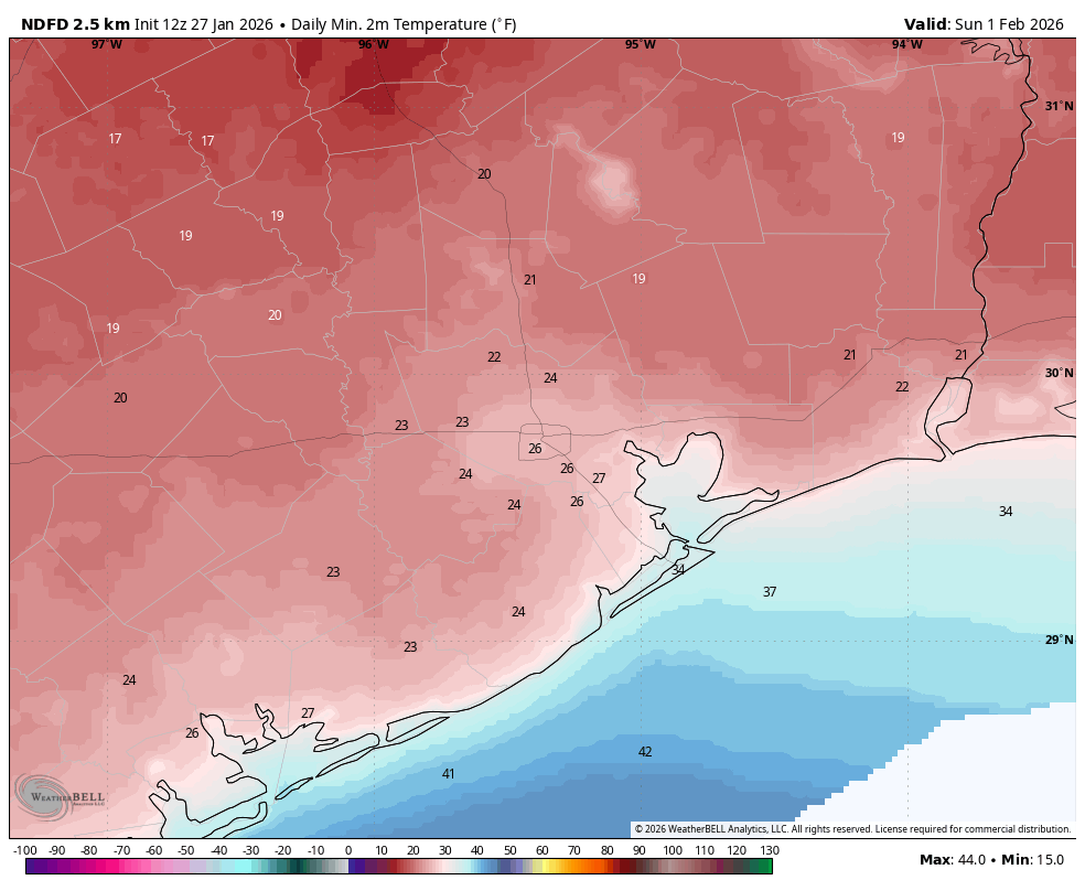
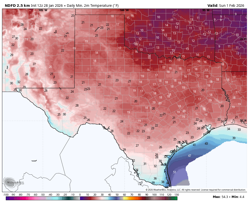
Highs will rebound to around 50 degrees on Sunday, so still cold, but not as cold. I expect Houston to remain slightly above freezing on Sunday night, but a light freeze will be possible for inland areas. If you’re wondering, Sunday night appears to be the region’s last chance for a freeze until at least mid-February.
Next week
Temperatures will rebound into the 60s next week, with nights generally in the 40s. The combination of a coastal low pressure system and a cool front should bring a decent shot of rain into the area beginning Tuesday night into Thursday, details to be determined.