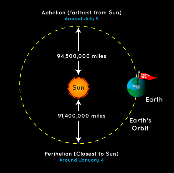
We start this morning with a quick celestial note: Earth reached perihelion at 6:38 pm CT on Tuesday night, meaning it reached the closest point to the Sun in its (slightly) elliptical orbit about our star. Ironically for northern hemisphere residents, though we are closer to the Sun during the winter by a few million miles, it is coldest time of the year. This is due, of course, to the tilt of the planet’s axis rather than proximity to the Sun. We’ll reach our furthest point from the Sun, aphelion, just after midnight on July 5 of this year.
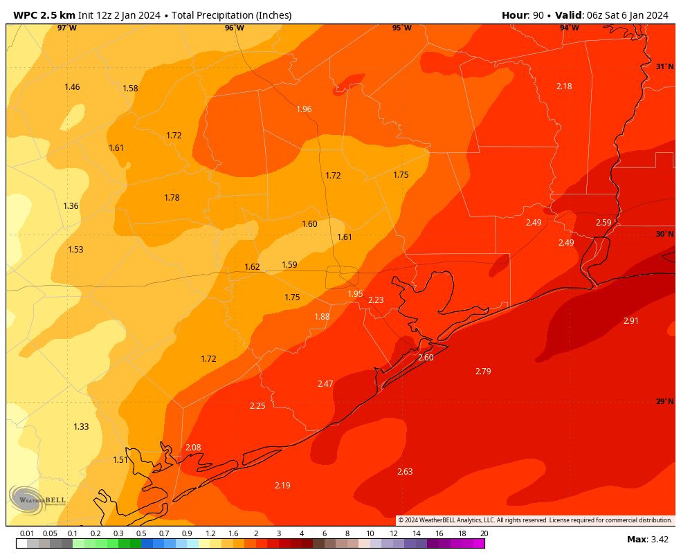
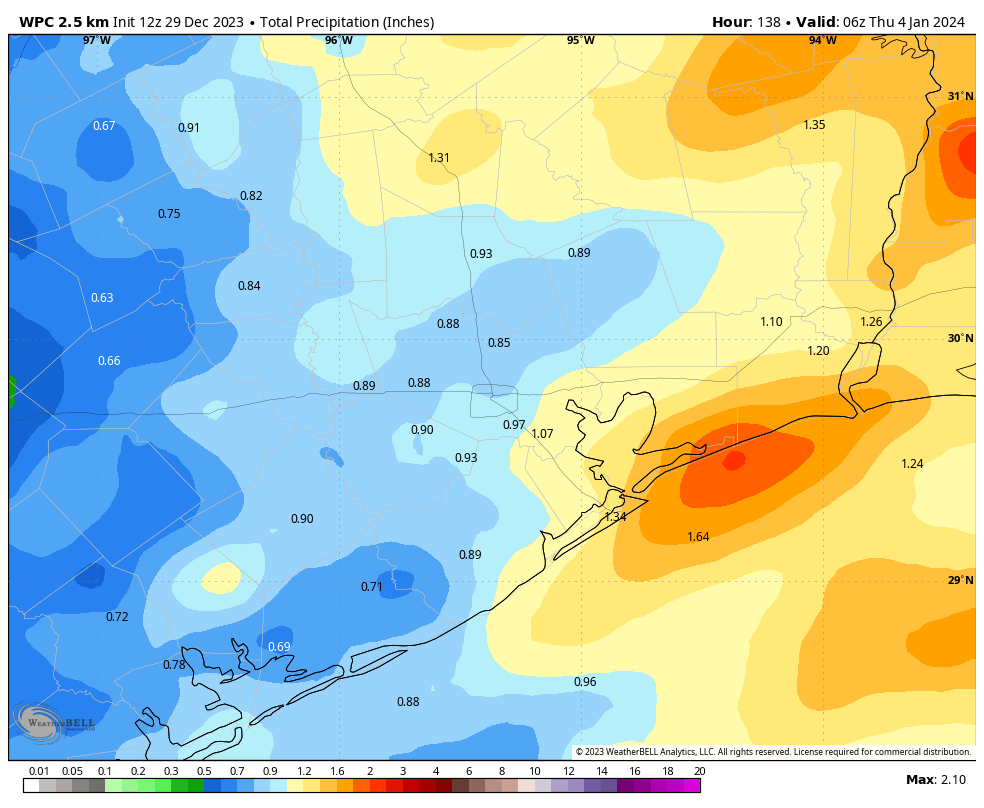
Speaking of weather, rain showers on Tuesday evening and this morning overperformed a little, dropping 1 to 2 inches across most areas south of Interstate 10, with lesser amounts inland. We’ll now see a couple of drier days before rain showers return on Thursday night and Friday. All of this is working toward a gorgeous, winter-like weekend.
Wednesday
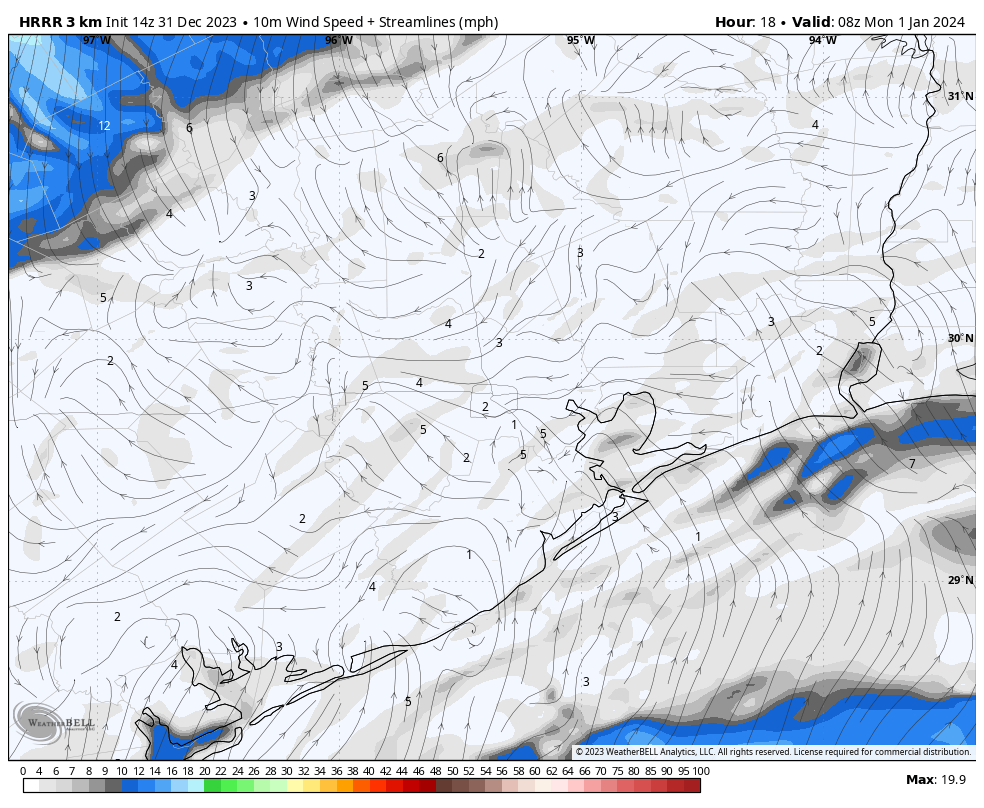
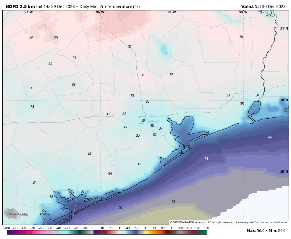
Skies will be mostly cloudy today, with highs pushing perhaps into the mid-50s. After some gusty conditions overnight as a coastal low pressure system passed by, winds will be lighter today, generally from the north, at 5 to 10 mph. Lows tonight will be fairly chilly, dropping into the low 40s in Houston, with cooler conditions further inland.
Thursday
This will be a mostly sunny day, probably, with highs in the upper 50s. Winds will be light, generally from the northeast. Another coastal low will be building offshore, but I think its associated rain showers will remain away from the Houston area during the daytime and evening hours. Lows on Thursday night will drop to around 50 degrees, with some light rain possible after midnight.
Friday
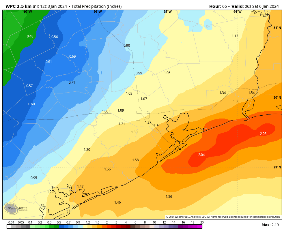
This looks to be a wet day, with most of the area picking up between 0.5 and 2.0 inches of rain between early Friday morning and the evening hours. Rain accumulations should be greatest closer to the coast, and the low pressure system. I think the worst of the weather, including stronger thunderstorms, will remain offshore. So I expect this to be a mostly mellow rain event, but it will definitely put a damper on any outdoor plans you have. Look for highs in the upper 50s, and lows Friday night dropping into the low to mid-40s.
Saturday and Sunday
The weekend looks fine and mostly sunny. Highs on Saturday will be around 60 degrees, with overnight lows in the mid-40s, and then a bit warmer on Sunday, in the low 60s. It should be a great winter weekend for outdoor activities. Enjoy!
Next week
A chance of rain showers returns on Monday before a stronger front moves through. This will set the stage for colder mid-week weather, with the temperature likely bottoming out on Wednesday morning. A light freeze looks possible for inland areas, but we’ll have to see as we get closer. Temperatures then warm up again before another front likely cools us down for next weekend. If you’re weather watching for the Houston marathon on January 14, the forecast still looks chilly and dry, but the details remain fuzzy. Nevertheless I’m cautiously optimistic about running conditions!