Good morning. Houston will see cool temperatures and mostly sunny skies to start this week, but then we’ll see a distinct warming trend for the second half of the week and the weekend. As moisture levels rise the forecast will bring increasing rain chances. As for what all this means for Christmas Day, well, it’s going to depend on the timing of the next front. Things could get a bit messy if the front moves through next Monday, on Christmas Day itself.
Monday
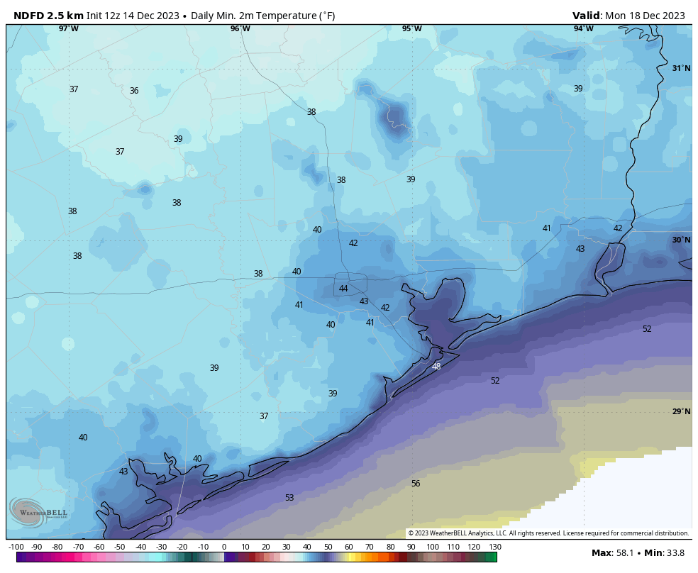
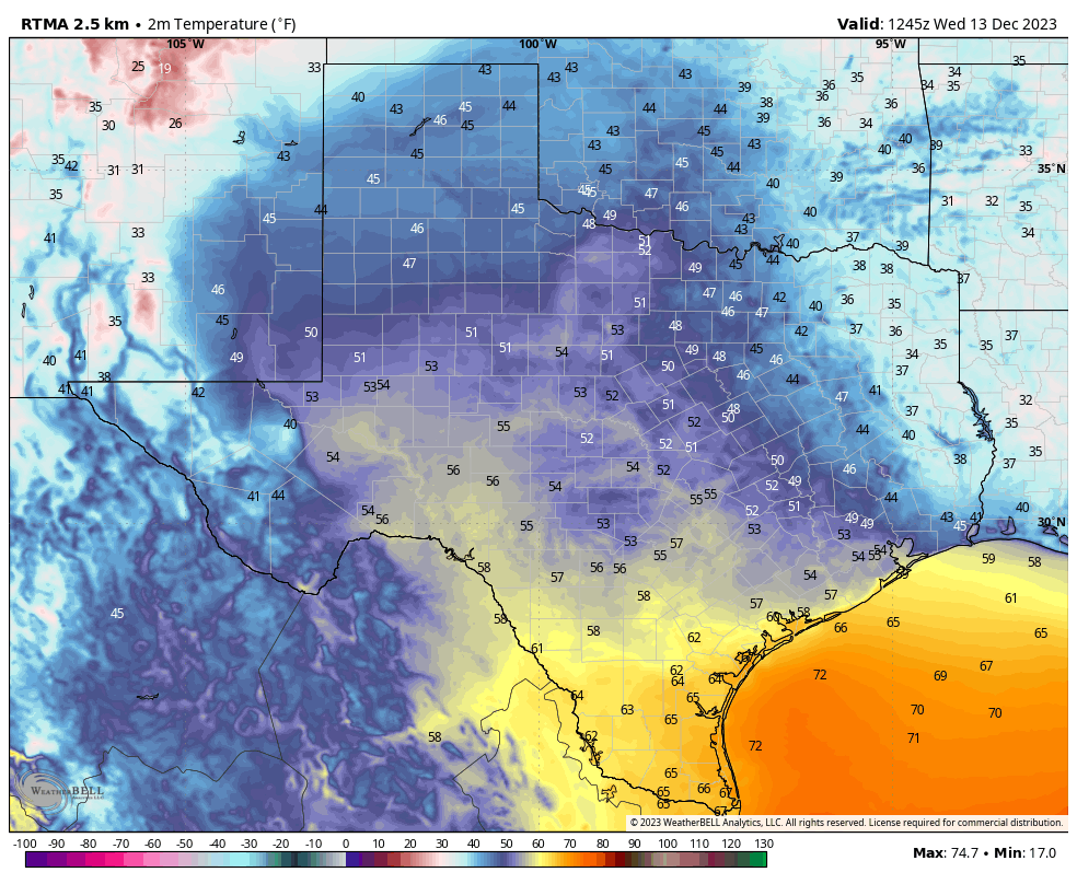
We’re starting out chilly, and generally in the 40s, this morning. It’s going to be a bright and sunny day, with highs in the upper 60s to nearly 70 degrees. Winds will be mostly light, from the north, at 5 to 10 mph. Really, it should be a very fine day for any outdoor activities. We’ll see one more cold night tonight, with temperatures dropping into the low 40s for much of the region tonight, with a few outlying areas possibly touching the upper 30s.
Tuesday
With a bit of a reinforcing shot of cooler air on Monday night, temperatures on Tuesday should trend a bit cooler. We’re looking at highs, perhaps, in the low 60s with partly to mostly sunny skies. However, changes will be afoot in the atmosphere as the high pressure that has brought us clear and colder weather pushes off to the east. This will initially result in an easterly flow at the surface, and allow for temperatures to fall to around 50 degrees on Tuesday night.
Wednesday and Thursday
These will be partly sunny days with high temperatures of around 70 degrees. The air will feel a bit more humid as an easterly to southeasterly flow continues. Winds may at times gust to around 20 mph. Nights will be more mild, generally falling to about 60 degrees.
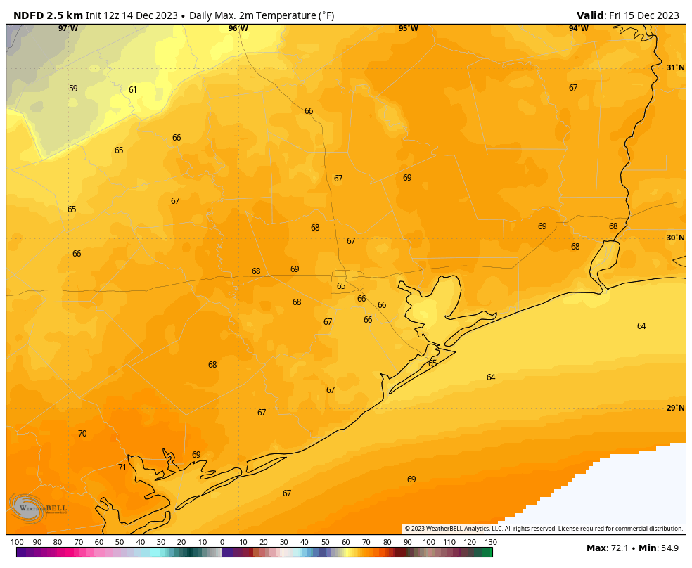
Friday, Saturday, and Sunday
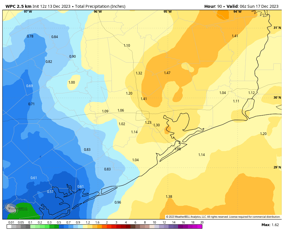
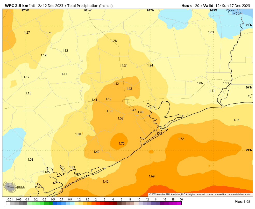
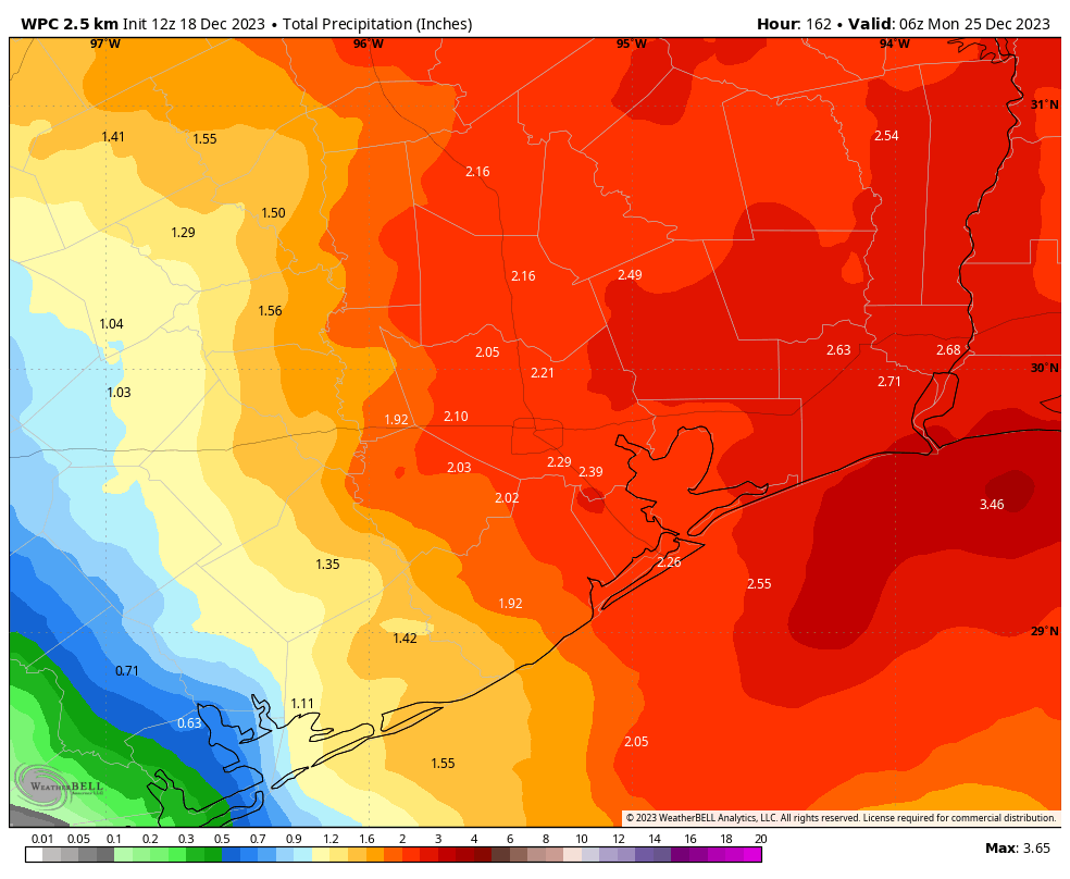
The weather looks pretty meh for the weekend ahead of Christmas Day. We’re talking highs in the low 70s, cloudy skies, fairly humid air, and warm nights only falling to around 60 degrees. Oh, and the rain chances. As atmospheric moisture levels ramp up we’ll see a healthy chance of showers and thunderstorms throughout the three day period, on and off. Much of the area could pick up 1 to 2 inches of rain during the time from Friday through Sunday, but that forecast is written in pencil for now.
Christmas Day and beyond
At some point the showers will end, as a cold front moves through and brings drier air into the region. But the timing of this front is still far from certain. It could be on the morning of Christmas Day. It could be morning on the day after Christmas. I don’t know, and I don’t really feel particularly confident at this time. For now I’m going to predict highs in the 60s on Christmas Day with a healthy chance of showers. There may even be some thunderstorms if the frontal passage is a messy one.
I know you’d like to have some more clarity than that. This forecast is a real lump of coal in your stocking. But hey, Santa Claus is the miracle worker not me. After the front moves through, next week does look quite a bit colder, with highs in the 50s or possibly 60s, and nights perhaps in the 30s and 40s. We’ll see.
Last call for holiday lights
If you like to enjoy festive holiday activities while it feels like a winter wonderland in Texas, the next few days are a good time to plan those visits before we experience a warmer period around Christmas Day. Our longtime partner, Reliant, is here to help Houstonians join in the holiday spirit with two fun attractions!
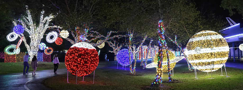
Galaxy Lights, presented by Reliant (runs through January 7)
What better way to get into the spirit in Space City than with Galaxy Lights, presented by Reliant? The only space-themed light show around at Space Center Houston is one of the most technologically advanced light displays in the state, providing Houstonians with an interactive, out-of-this-world experience! Visitors can experience a 200-foot LED light tunnel, two high-tech kinetic light shows, massive models of each planet, and a showing of the original film “Holidays in Space.” Learn more and purchase tickets here.
Radiant Nature, presented by Reliant (runs through February 25)
New to the Houston Botanic Garden this year, a majestic light display celebrates multicultural holiday festivities during the winter season. Unlike most other holiday light displays, Radiant Nature, presented by Reliant, is a stunning visual experience that can be enjoyed night or day. Visitors will experience a traditional Chinese lantern festival with more than 50 larger-than-life installations, including a 200-foot-long illuminated dragon. You have plenty of time to visit as the exhibit will stay open through the Lunar New Year in February. Learn more and purchase tickets here.
Learn more about these events and, if you’re traveling, other holiday events Reliant supports across the state here: https://www.reliant.com/holidays