In brief: In today’s post we provide some timing details on what to expect with Saturday’s front, which should bring a line of storms along with it. We also outline what looks to be an exceptional second half of the holiday weekend.
Timing of storms on Saturday
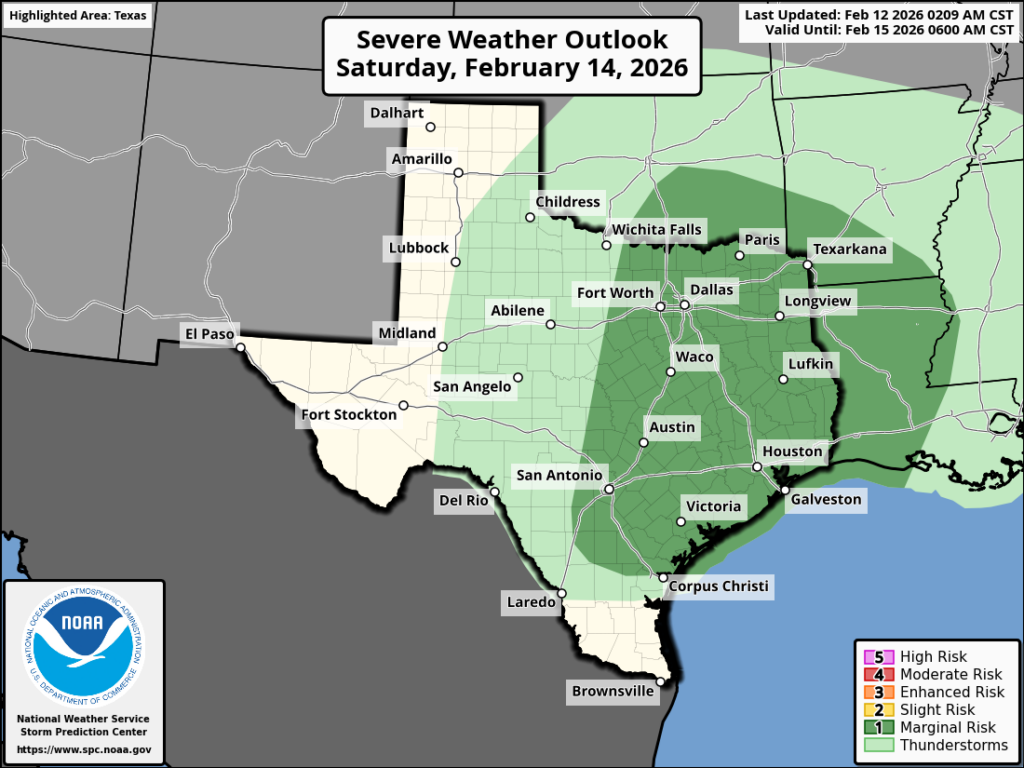
If you’re trying to make plans for Valentine’s Day, I want to tell you what I think will happen that day in terms of weather (I can make no predictions on the love side of the equation!) This forecast is still a bit tentative, but our confidence is increasing. An upper-level system will approach Houston, eventually dragging a cold front into the area. In terms of timing, Saturday morning should see a few light, scattered showers. At some point during the afternoon, activity may become a little stronger and more widespread.
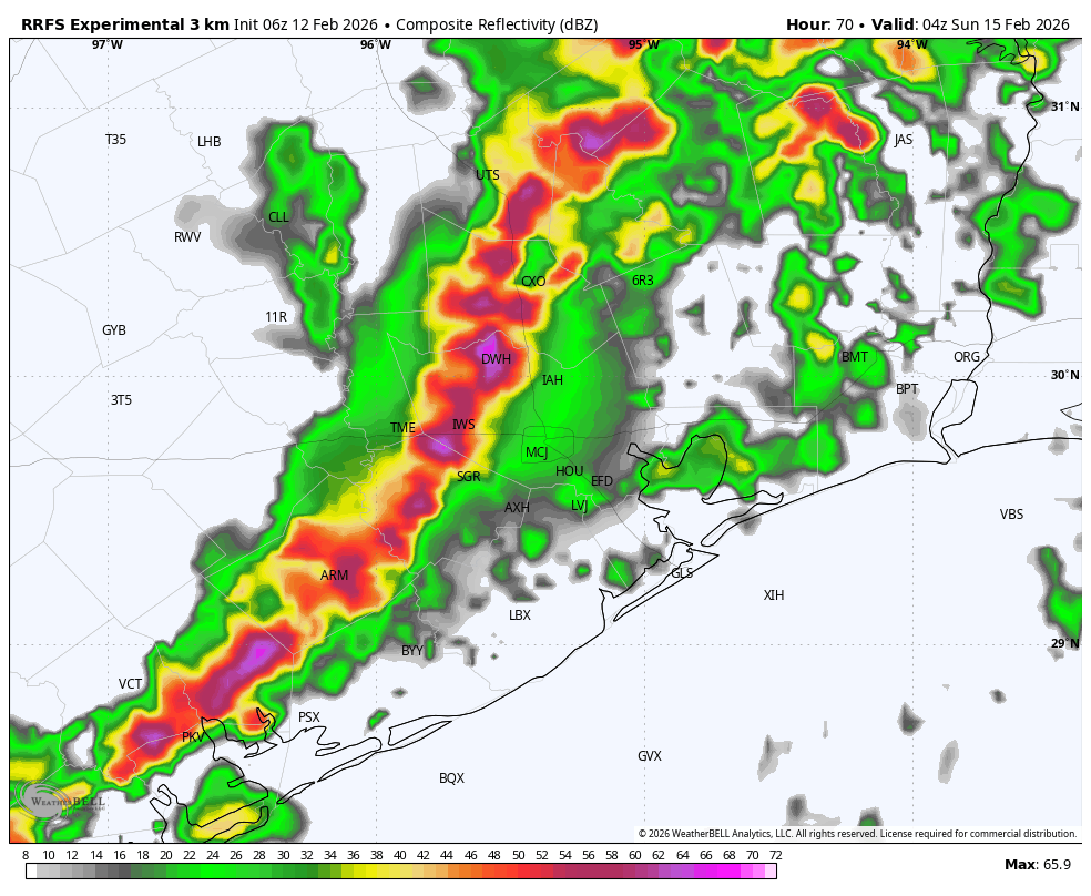
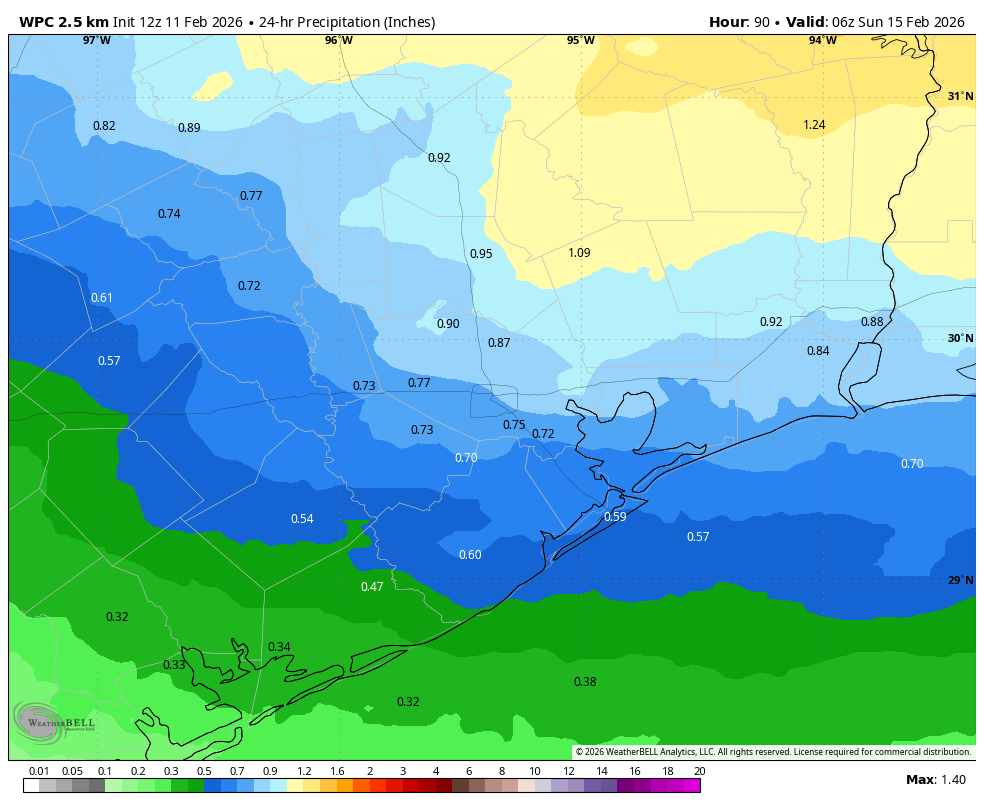
However it now appears likely that a robust line of showers and thunderstorms could move through during the evening hours. My best guess is that this line moves through the Houston region between 6 pm and midnight on Saturday, with the slight possibility of some severe thunderstorms. This line may drop 0.5 to 1.5 inches of rain, but again rain totals will vary. For now I don’t anticipate flooding concerns, but if we get some over-performing or slowing storms, there may be some briefly flooded streets. Matt and I will keep a close eye on this for you.
Thursday
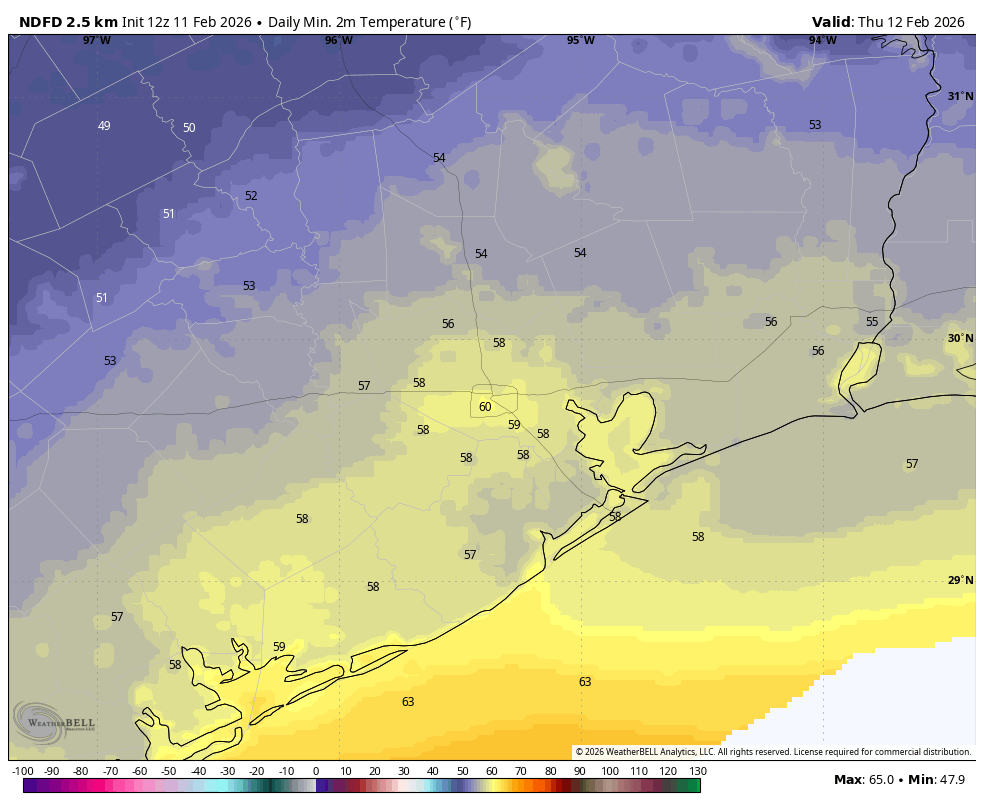
A weak, and dying front has stalled over Houston, dropping most of the area into the upper 50s this morning. It will lift back north today, leaving us with a sunny day and highs in the upper 70s. Winds will be light, from the southeast. Lows tonight will drop to around 60 degrees. Fog will remain a possibility during the overnight hours through Saturday morning.
Friday
This will be a partly sunny and mild day, with high temperatures in the mid-70s. Lows on Friday night will be a few degrees warmer than Thursday night, likely in the low 60s.
Saturday
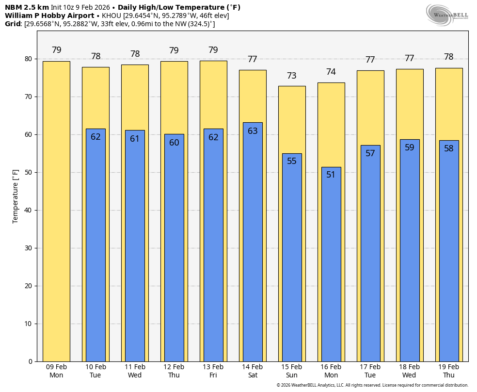
As noted above, we expect showers and thunderstorms to pass through the area on Saturday, likely during the evening hours. Highs during the daytime will reach the mid-70s, with overnight lows dropping into the upper 50s, as drier air from the front arrives after midnight.
Sunday
This will be a splendid day, with highs likely in the low 70s, sunny skies, and much drier air. Winds will be gusty from the north during the morning hours, but probably will moderate after that. Lows on Sunday night will drop into the low 50s in Houston, with cooler conditions further inland.
Monday
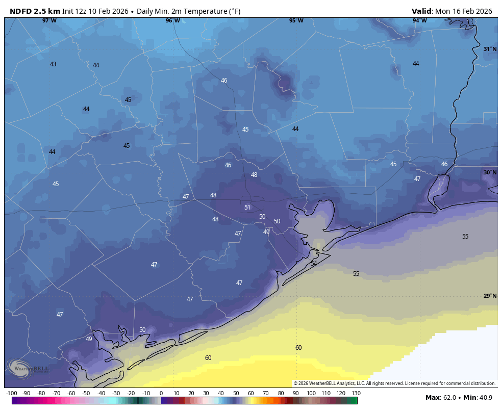
The President’s Day holiday looks splendid as well, with highs in the low- to mid-70s, dry air, sunshine, and light winds. Expect another night in the 50s.
Rest of next week
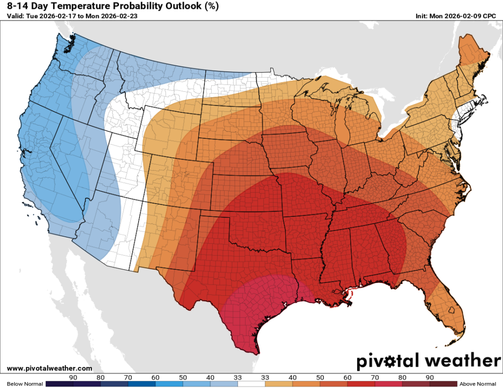
Most of the rest of next week looks mild, with highs near 80 degrees, lows near 60, and partly sunny skies. Some sort of front may arrive toward the end of next week, but the details are fuzzy.