In brief: In today’s post we talk about the impact of early season fronts along the Gulf coast, which are somewhat paradoxical. We also look ahead to increasing rain chances due to a front and potentially moisture from a tropical system in the Pacific Ocean.
The paradox of early season fronts
From a practical standpoint, it’s really a misnomer to call the first fronts of late summer and early fall “cold fronts.” In a strictly meteorological sense, they are. But when these early fronts usher in drier air and clearing skies (but not much cooler air) they make it more efficient for the lower atmosphere to heat up. And that’s what we are going to see over the next couple of days: sunshine, hottish days with lower humidity, and mild nights. In fact, some locations north and west of Harris County may dip into the upper 60s tonight. That is not “cold,” but it is a nice departure from very humid nights we’ve experienced since June. It’s also a foretaste of what is to come in a few weeks, when we should see some stronger fronts trundling down into the area.
Wednesday
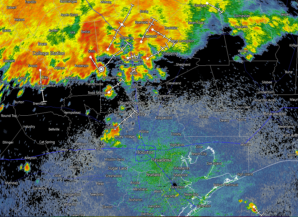
As a slightly drier air mass moves into place today we will see highs, generally, in the mid-90s across the region. We cannot rule out a slight chance of showers for areas south of Interstate 10 later this afternoon, with daytime heating, but most of us should remain dry. Skies, otherwise, will be sunny with a light northwest wind in place. Lows tonight will drop into the low- to mid-70s in Houston, with cooler conditions in place for areas further inland.
Thursday and Friday
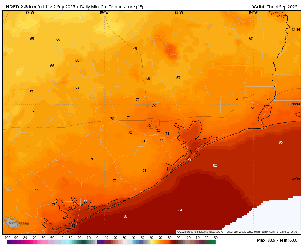
With a drier air mass in place we can expect sunny days with hot temperatures in the mid-90s in Houston, and upper-90s for areas further inland. Nights will drop into the 70s for most of the region. The air will be a little drier, but not crazily so.
Saturday and Sunday
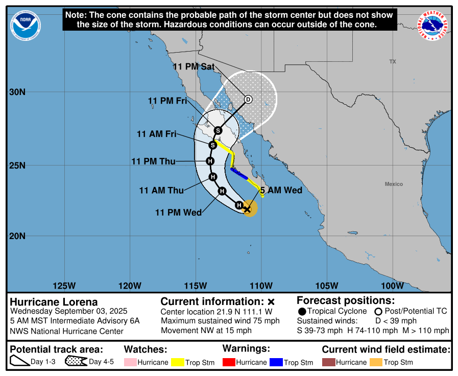
By later on Friday we should see the resumption of an onshore flow that will increase atmospheric moisture levels. This will generate some clouds, and lower daytime temperatures, likely in the lower 90s on Saturday and pushing us into the upper 80s on Sunday. There are a couple of things we just don’t know enough about that will drive rain chances and amounts this weekend. First up is a slow-moving front that will be pushing toward (and possibly into) the region. This will destabilize the atmosphere. The region may also see a surge of moisture from Hurricane Lorena, which is presently in the Eastern Pacific Ocean and will be moving into Mexico and West Texas this weekend. All of that to say, we will perhaps see rain chances in the vicinity of 40 percent on Saturday, and 60 percent or higher on Sunday. Something to monitor if you have plans this weekend.
Next week
Our weather next week will depend on whether the region sees any impacts from the aforementioned front. Generally I would expect highs in the vicinity of 90 degrees, with some lingering rain chances to start the week followed by a drier pattern. We’ll see!
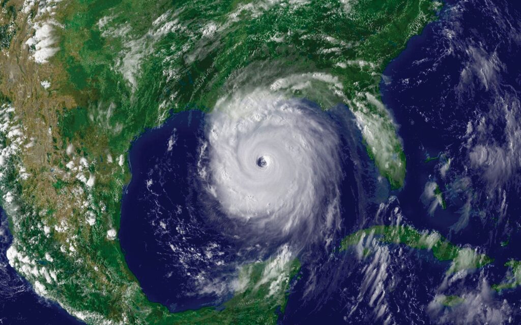
Atlantic Tropics
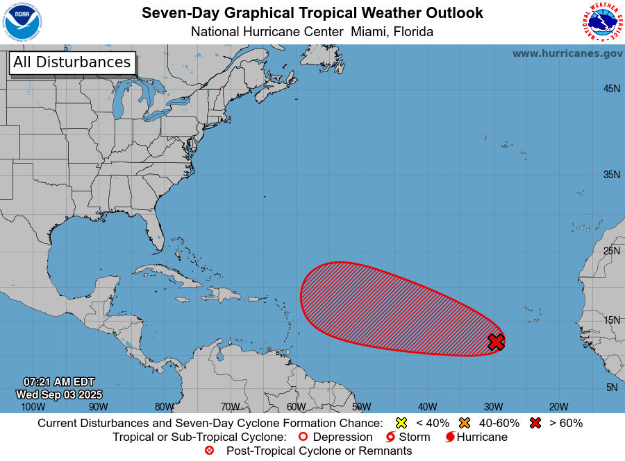
There’s a rather ominous looking red blob at the moment in the National Hurricane Center’s seven-day tropical outlook. At this point there is no clear guidance on where this storm will go, or how strong it will get. My general sense is that the odds of something making it into the Gulf from this system are fairly low, however. Head over to The Eyewall for all of the gory details.