In brief: Today’s post dives a little bit deeper into expectations and uncertainties about a front that should push off the coast by Saturday evening, or so. I’m hopeful that some inland areas will see nights in the 60s. Before that we have a healthy chance of rain today, and again on Saturday.
About that front
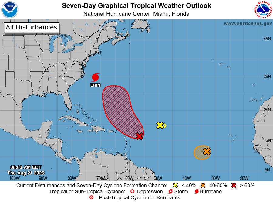
It’s still August, so any expectations about fronts really need to be tempered around these parts. However, it now seems highly likely that a front—this is a boundary between a warmer and more humid air mass and a cooler and drier one—will push into the greater Houston area on Saturday. The real question is how much oomph it has. Since we are still a few days out, there is some built-in uncertainty. And then there is the time of year. In late August we just rarely see much cooling with any frontal passage. The bottom line: It’s just too early to have any real expectations.
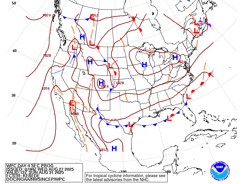
And yet, this front has some potential. The most likely outcome is that the front makes it to the coast, and brings some modestly drier air into areas along and north of Interstate 10. This could bring central and northern parts of the region a few days with temperatures in the low 90s, and nights in the lower 70s. Now this is not chilly, but it will be quite nice for late August and early September. However, there is a non-zero chance of something slightly stronger that pushes nighttime lows into the upper 60s for much of the city. Anyway, it’s an interesting setup, and it certainly beats the usual alternative for this time of year—highs pushing triple digits with very muggy nights.
Wednesday
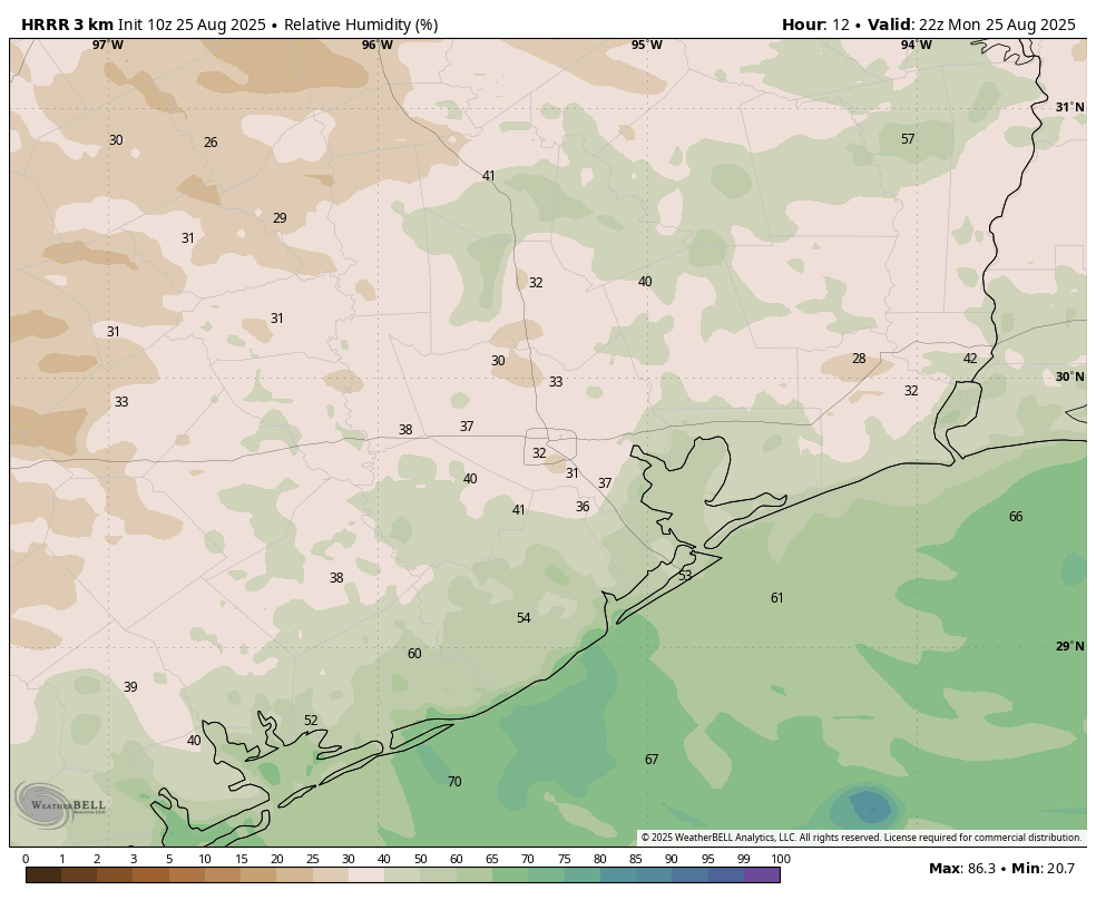
Even before sunrise this morning we are seeing some scattered showers and thunderstorms streaming in from the coast. The overall atmosphere is fairly unsettled, and with daytime heating I expect to see fairly widespread activity later today. Most locations are likely to only pick up a tenth of an inch, or two, but there could be a few bullseyes with 0.5 inch or so. Coastal areas are most likely to see the higher-end totals. These rains, and partly cloudy skies, should help to limit high temperatures to the low- to mid-90s. Rain chances slacken this evening, with nighttime temperatures expected in the upper 70s.
Thursday and Friday
As the atmosphere stabilizes a bit, our daily rain chances will probably drop back to about 30 percent on both of these days, with a little bit more sunshine. High temperatures both days are likely to be in the mid-90s. With luck, these may be some of the last days this year when areas of Houston see highs of 95 degrees, or higher. (No promises!)
Saturday
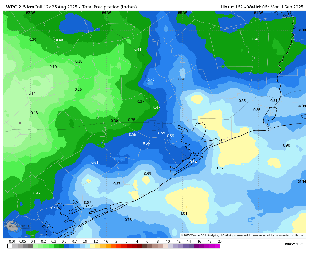
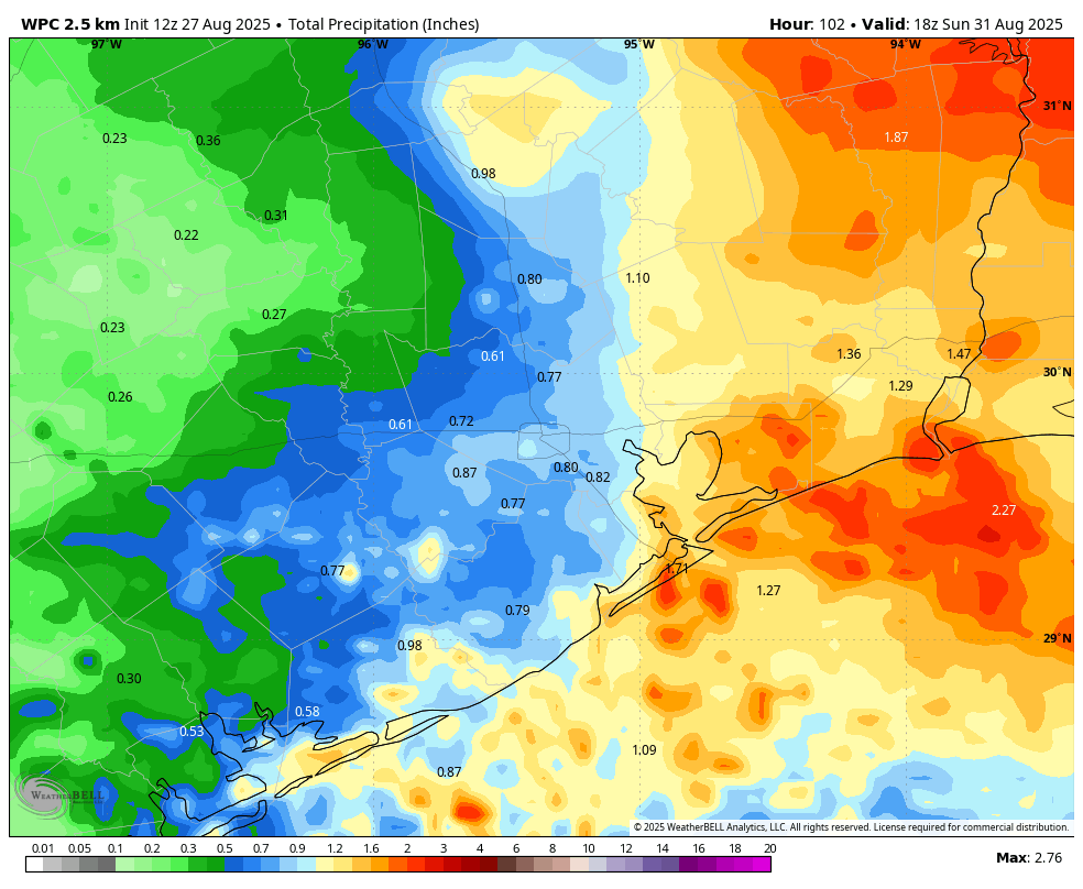
As noted above, we expect a front to slowly slide into Houston on Saturday. This will not be an “in your face” front, but rather one where we should see modestly drier air moving into the area for a few days as winds shift to come from the north. This front will bring a healthy chance of rain with it. I’m not anticipating anything too severe, just garden variety showers and thunderstorms that bring 0.5 to 1.0 inch of rain to most locations, with higher isolated amounts possible. If you have outdoor plans you’ll want to account for the possibility of showers, including into the evening. Highs on Saturday will likely be about 90 degrees, with lows on Saturday night dropping into the mid-70s.
Sunday
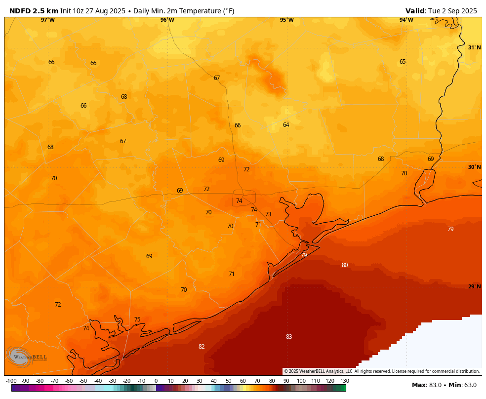
By Sunday we should start to get an idea of how much cooler and drier air is going to work its way into Houston. Some lingering showers will definitely be possible, but on the whole we should see a trend toward clearing skies. Highs probably will top out in the upper 80s, or so. Lows on Sunday night could be interesting. For now I’ll hold the line at the lower 70s for most locations away from the coast, but I think upper 60s could be in play for inland areas. Fingers crossed!
Next week
I expect the (somewhat) drier air to hang around for Monday and perhaps Tuesday. This should give us a couple of days with high temperatures around 90 degrees, and nights (maybe) in the low 70s. Humidity probably won’t be low, but it should be lower than normal for this time of year. So, I’ll take it. Much of next week looks sunny before rain chances return by Thursday or Friday.