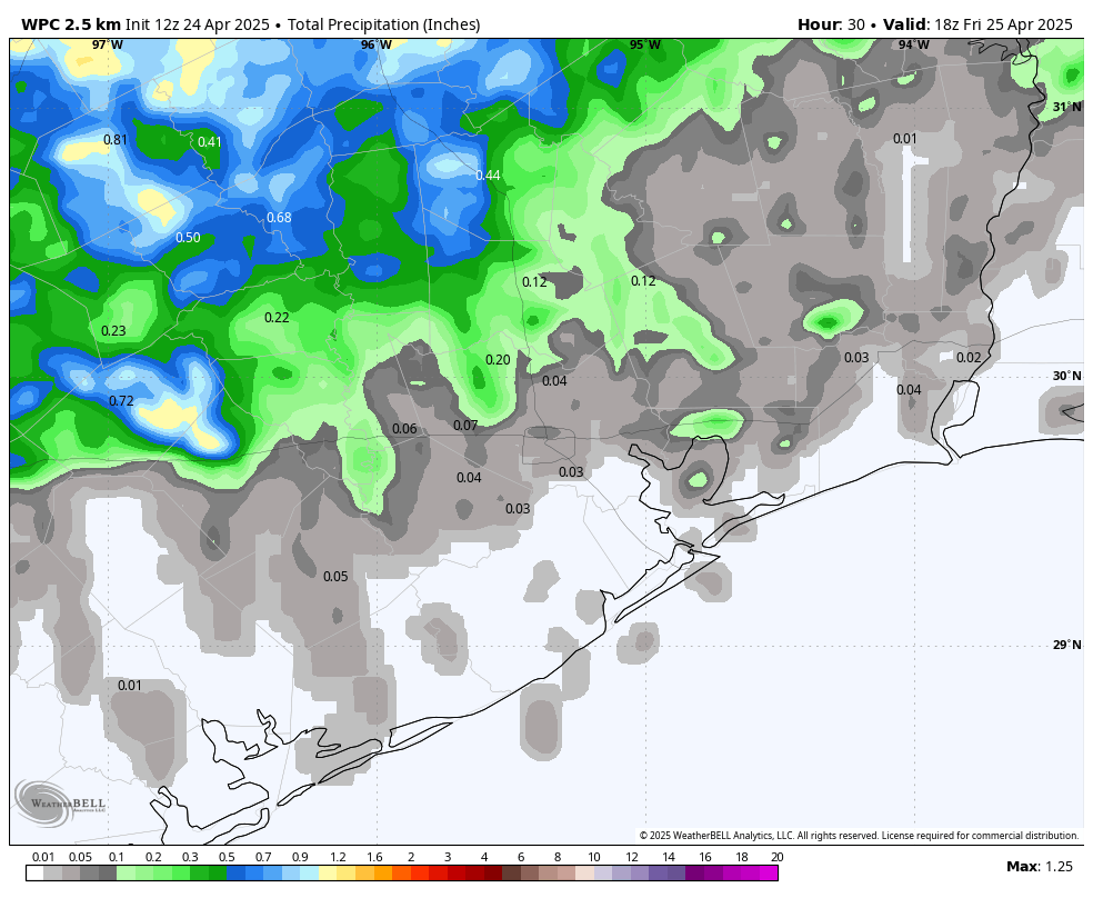
In brief: Houston will now enter a somewhat wetter period in which rain will be possible most days. In addition, after a couple of fairly hot days, a weak front should bring some slightly drier air into the region for this weekend, knocking humidity down a bit.
Wednesday
As noted in yesterday’s post, we’re now entering a period over the next week or so in which it probably will not rain every day, but rain should be possible most days. Today, an upper-level system will drive a chance of scattered showers this morning, followed by partly sunny skies this afternoon. Depending on cloud cover, highs today will likely reach the low- to mid-80s. We’re going to have one more day of pronounced southerly winds, gusting to 25 mph, or higher.
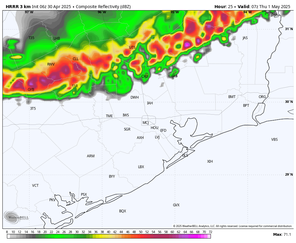
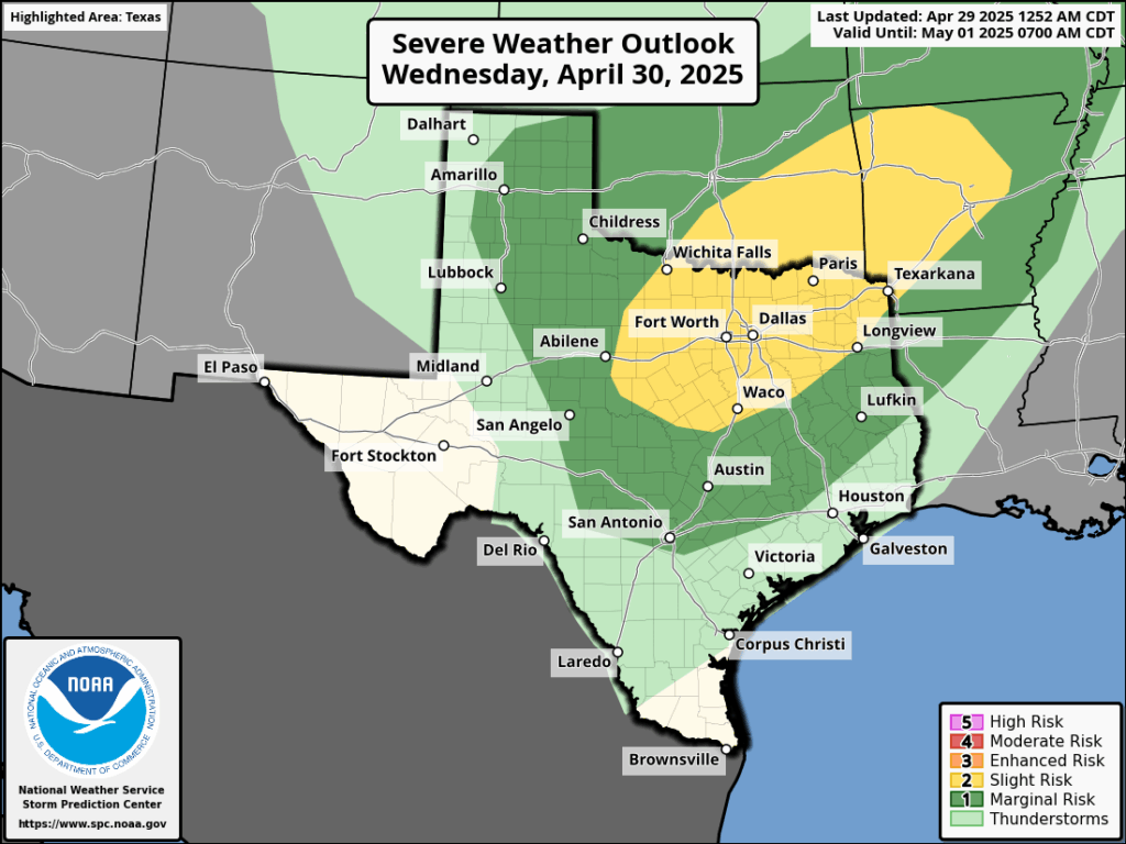
Tonight the pattern becomes more interesting, as a line of storms approaches the region from the north. But how far will it progress? These showers and thunderstorms, some of which could be severe, will likely approach the region around midnight and could push south of Interstate 10 by sunrise on Thursday morning. However, this is no slam dunk. While some ingredients are in place to support such a line of storms moving across Houston, I think there’s a 50 percent or less chance it actually materializes.
Thursday
By mid-morning on Thursday, at the latest, any residual storm activity should have moved off to the east, leaving us with a partly sunny and warm day. Some areas are likely to get into the upper 80s, and we can’t rule out a few 90-degree readings for areas well inland. Lows on Thursday night will fall to around 70 degrees with mostly cloudy skies.
Friday
This will be another warm-to-hot day, with temperatures in the upper 80s for most of the area. Beginning Friday afternoon, we’ll see increasing rain chances due to an approaching front. We’re far enough from this front to not have great details yet about potential storms, but the bottom line is that there will be a healthy chance of rain from Friday evening through Saturday morning, and possibly into the early afternoon hours on Saturday in Houston, as the front drifts in.
Saturday
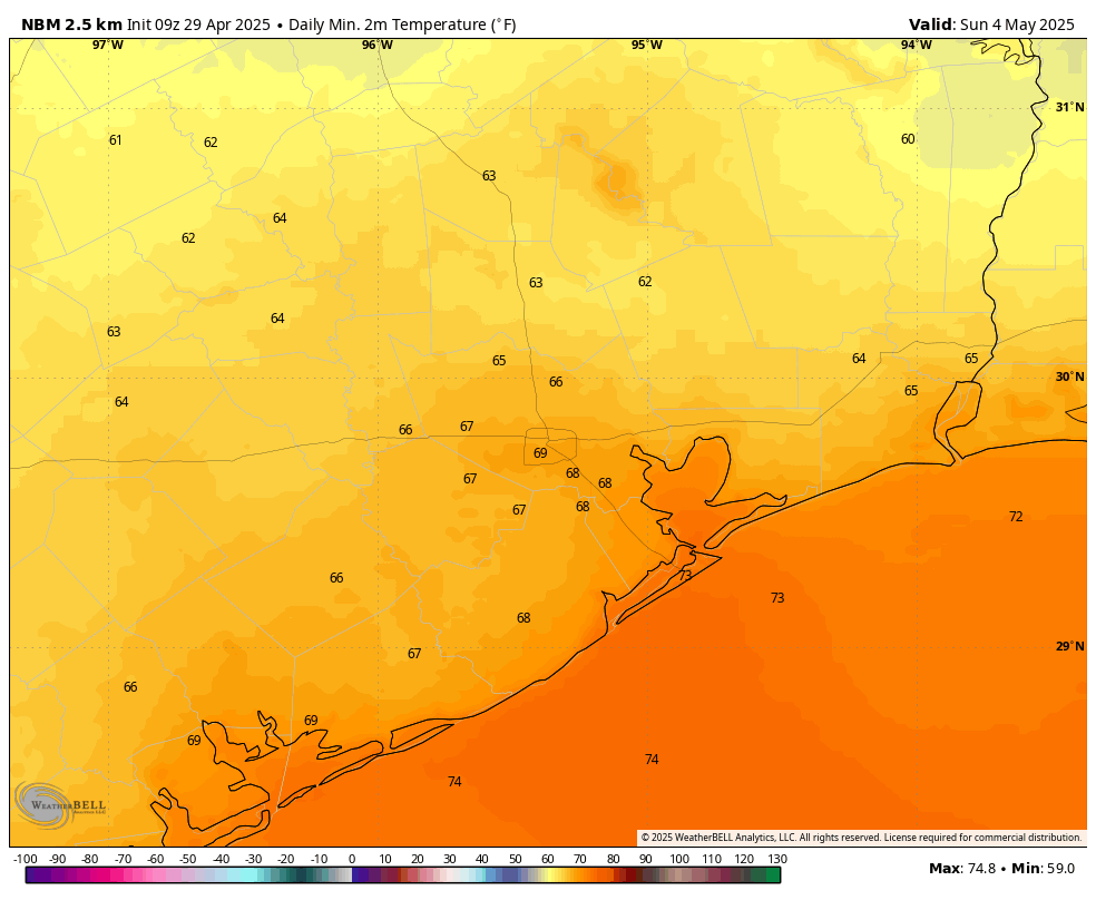
The first half of the weekend, as noted above, will see a good chance of showers before the afternoon hours. Expect highs of around 80 degrees, with clearing skies later in the day. There is a fair amount of uncertainty about temperatures, but lows in the mid-60s are possible on Saturday night going into Sunday morning.
Sunday
I’m cautiously optimistic about Sunday being a really nice day. Humidity is not going to be low, per se, but it could be quite a bit lower than we’ve experienced of late. What would you say to high temperatures in the low 80s, partly sunny skies, and relatively low humidity in early May? It won’t be perfect, and there will probably be some isolated to scattered showers later in the day. But as we get closer to summer, beggars cannot be choosers.
Next week
Most of next week should see highs in the mid-80s. High pressure will likely shut down rain chances to start the week, but by Tuesday or Tuesday night we could see the return of some showers and perhaps a few thunderstorms. We shall see.