In brief: Some areas of Houston got hit by Sunday night’s storms, and others did not. We will now experience a few days of calmer weather this week before the chance for heavy rainfall on Thursday and Friday of this week. The details of that forecast remain hazy, but it’s something to watch.
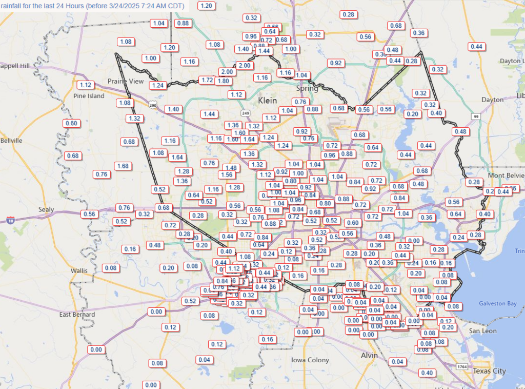
Rainfall needed
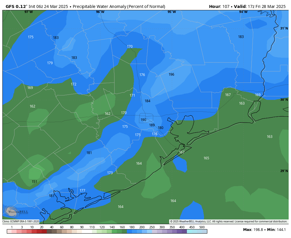
For central and northwest areas of the Houston region, Sunday night’s storms brough some much needed rainfall, with one or more inches in an area roughly between Highway 290 and I-45 North. Much of the rest of the metro area got significantly less. That could change during the second half of this week, with the combination of an upper-level system and plenty of moisture in the atmosphere bringing a healthy chance of rain to the forecast. It is still too early to say whether this is a case in which most of Houston receives about 1 inch of rain, or whether some areas are at risk of 4 to 6 inches. We will be watching it closely.
Monday
Last night’s storms were prompted by a weak front sagging into the area, and this has helped push lows down to near 60 degrees this morning for much of Houston. This is likely to be the “coldest” we get for the next week at least. Highs today will reach the lower 80s, with mostly sunny skies and mostly calm winds. The onshore flow will return later this afternoon or this evening, so lows are unlikely to fall below the low 60s tonight.
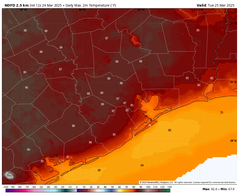
Tuesday
This will be a warm—borderline hot—day as we see mostly sunny skies and a warm southerly flow. Expect high temperatures in the upper 80s with a few locations possibly hitting 90 degrees. Some slightly drier air (dewpoints in the upper 50s) will help the air warm more rapidly. Winds will generally be light, perhaps at 5 mph from the east. Lows on Tuesday night will drop into the mid-60s.
Wednesday
A few more clouds on Wednesday should help to limit high temperatures in the mid-80s. After Wednesday the region will not see much (any?) sunshine until at least Saturday. Expect another mild night in the mid-60s.
Thursday and Friday
The period of Thursday afternoon through Friday night should bring a high chance of rain as an upper-level system moves into the region. In terms of most impactful rains, with the potential for street flooding, we’re probably looking at late Thursday night into Friday afternoon, but those details will have to wait. These will be cloudy days, with highs mostly in the upper 70s, and muggy evenings. The global models are indicating the potential for a heavy pocket of rainfall, with several inches of rain during this period. However it still is not clear whether this will line up north of the Houston metro area, or more directly over the city and its suburbs. For now I think it’s best to say that we’re going to see some rain during the second half of the work week, and there’s the distinct potential for heavy rainfall and street flooding. We may need to break out the Space City Weather flood scale, but I’m going to hold off on that decision until Tuesday’s post.
Saturday, Sunday, and beyond
At this point it looks like things will begin to clear up by Saturday, so if you have some outdoor plans this weekend all is not lost. Both days this weekend should see partly sunny skies with highs in the lower 80s, give or take. We cannot rule out some showers each day, but the overall odds appear fairly low. A weak front may arrive by Monday, or so, to bring us some slightly cooler nights. We’ll see!