In brief: Expect winds to whipsaw across Houston for the next few days as we go from a southerly flow to a northerly flow and back to a southerly flow between now and Friday. Overall, temperatures continue to look mild, with Thursday looking to be a splendid day.
Tuesday
Low temperatures have only fallen to about 60 degrees this morning, and we are going to see warmer weather for a couple of days. The southerly flow will be especially pronounced today, with a tight pressure gradient causing winds to reach sustained levels of about 20 or 25 mph, with gusts up to 40 mph this afternoon. Highs will reach about 80 degrees this afternoon, with a few clouds developing later today.

If you’re headed out to the rodeo, you’ll want to hold on to your hat. Look, I realize I’ve already used that joke this year, but it’s been windy, ok? Although winds may slacken just a bit, they’re still going to be pronounced this evening, along with temperatures in the 70s. The influx of moisture will help keep overnight lows in the upper 60s.
Wednesday
Wednesday morning will be fairly warm and humid, with mostly cloudy skies. Winds should also have finally died down. But it won’t last as a front sweeps in from the northwest during the late-morning hours, likely reaching the coast around noon or shortly after. There is the barest chance of some rain along with the front on the east side of Houston, but I expect a dry passage for nearly all of us.
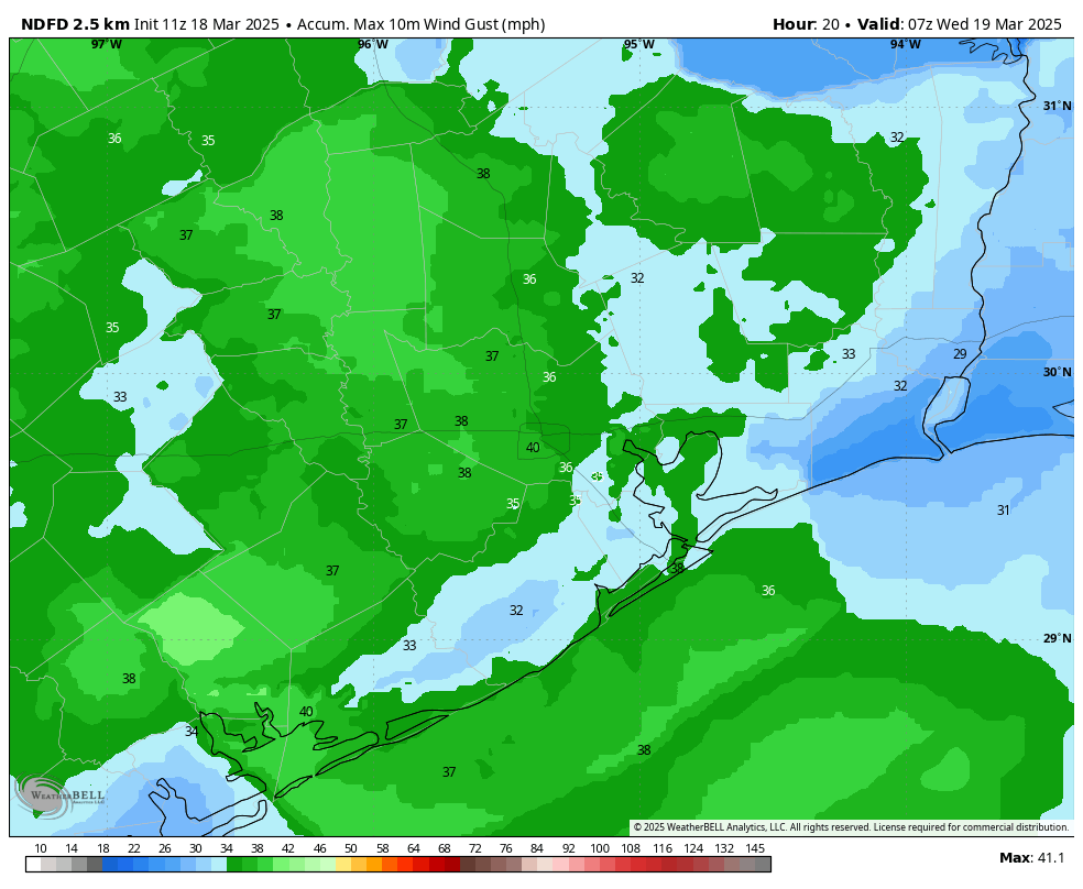
Highs will be in the upper 70s with sunny skies during the afternoon. And the winds—they’ll have reversed direction, and we can expect gusts of around 20 mph during the daytime, increasing to about 30 mph on Wednesday night. This will create “red flag” conditions for at least western areas of the region, meaning the winds and dry soils will be conducive to wildfires. With the drier air, lows will drop to around 50 degrees on Wednesday night in Houston.
Thursday
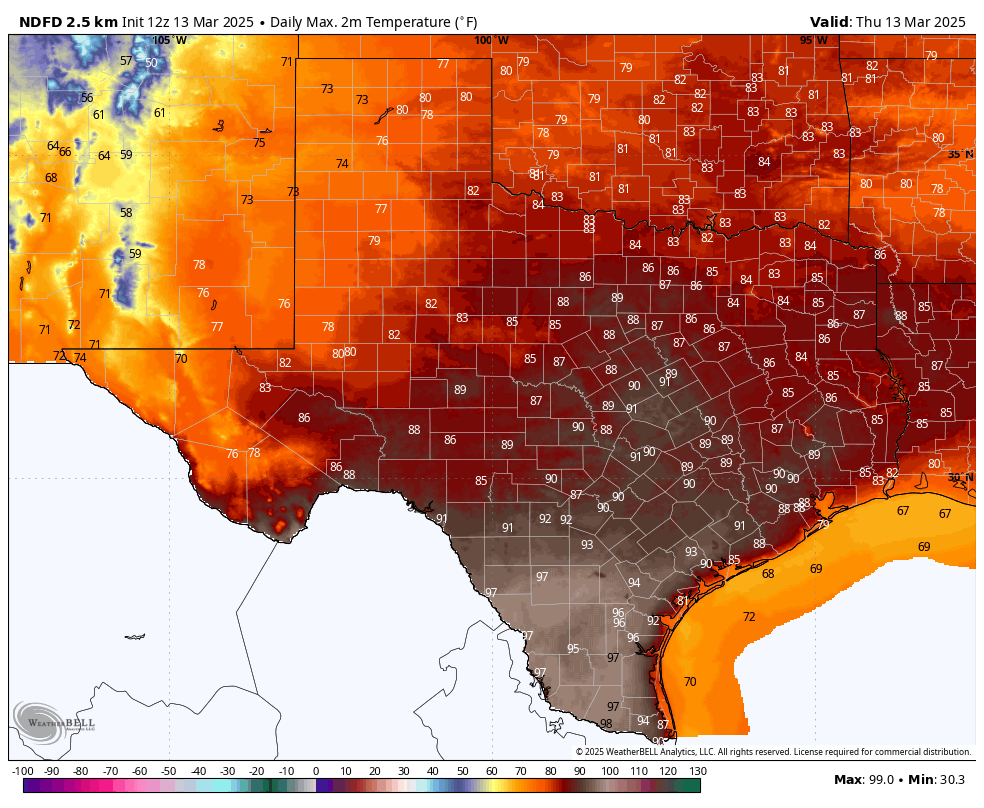
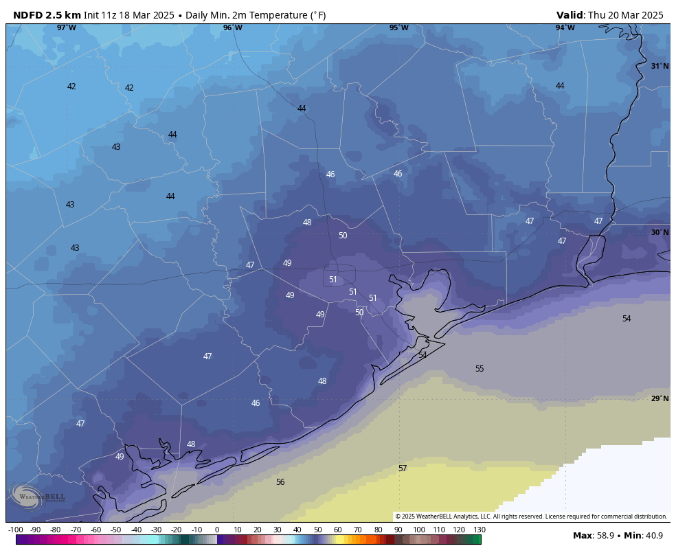
This looks to be a splendid day, as it lies in the period between a frontal passage and the return of the onshore flow. Look for highs of around 70 degrees, light winds, sunny skies, and low humidity. Lows on Thursday night will again drop to around 50 degrees in Houston, with cooler conditions for inland areas.
Friday
Another sunny day, with highs in the low 70s. However we’ll likely see some modestly strong southerly winds. Lows only drop into the lower 60s with the warmer southerly flow.
Saturday, Sunday, and beyond
After temperatures mostly in the 70s this week, this weekend and beyond will likely see a warmer pattern, with highs in the lower 80s. We may see one or two weak fronts in the extended forecast, but overall, we should see warmer days and mild nights. Alas there is not a huge signal for rainfall, which we could use right now.