In brief: Houston will experience milder conditions until a robust front arrives on Sunday, with the possibility of some severe weather to the northeast of the city as it passes. Afterward we’ll see blustery conditions, with the likelihood of light freezes and, by Wednesday night or so, even the potential for some sleet or snow.
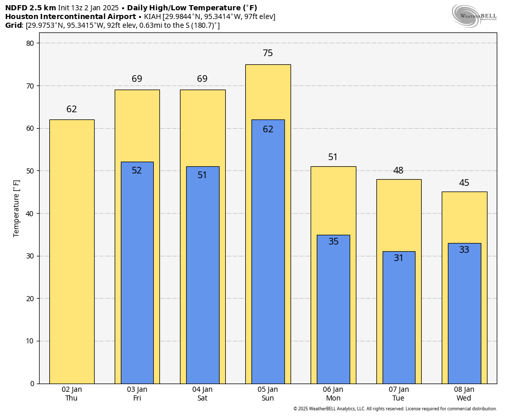
Friday
There’s some light drizzle at a few locations around Houston this morning, but this should soon clear out. We’ll be left with a partly to mostly cloudy day, and high temperatures in the upper 60s or so. Winds will be light from the northwest and temperatures tonight will drop into the upper 50s.
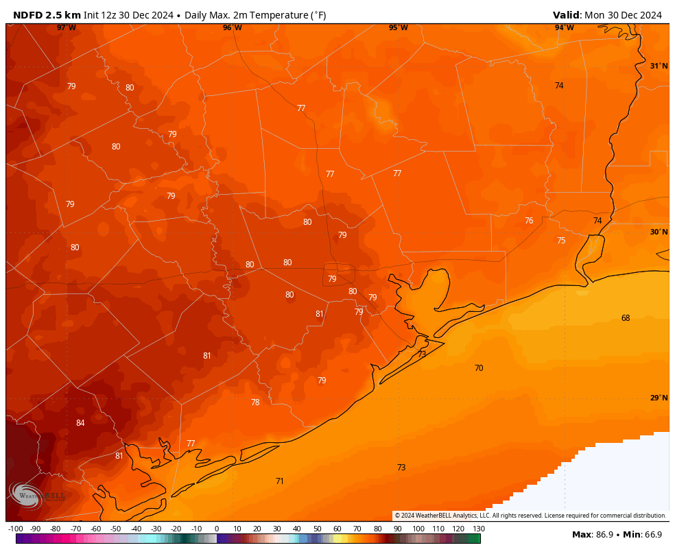
Saturday
A similar day to Friday, albeit a little bit more humid, perhaps a little more sunshine, and a little warmer. Expect highs in the mid-70s. Saturday night will be quite a bit warmer, with lows only dropping into the mid-60s. If you are looking for a mild evening outdoors, this is it.
Sunday
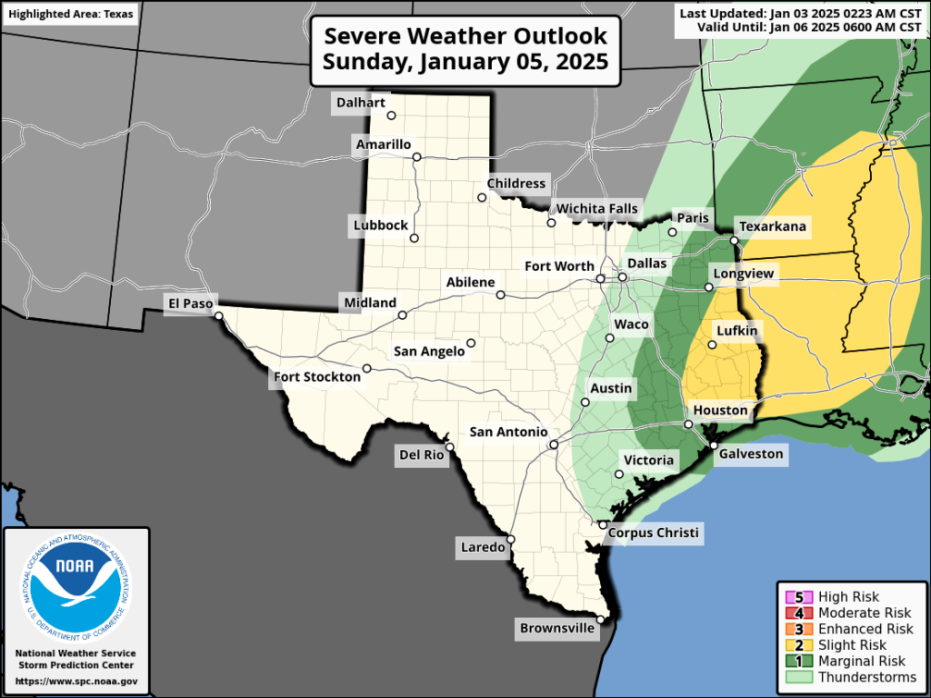
Sunday will start out warm, and high temperatures will likely reach the lower- to possibly mid-70s before a front comes sweeping down from the northwest. The timing remains a bit uncertain, but this is likely to occur during the afternoon hours. It looks as though a line of broken showers and thunderstorms will accompany the front’s passage, with the greater likelihood of rain, and possibly severe winds, to the north and east of Houston.
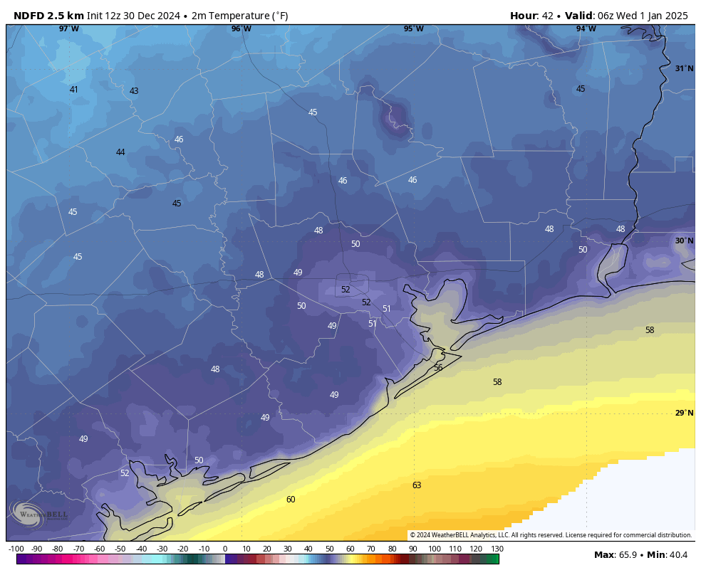
Temperatures will drop rapidly behind the front, as brisk northwesterly winds bring in much drier and cooler air. By early Monday morning much of the region will experience a light freeze, with temperatures dropping into the 30 to 35 degree range for most of the metro area.
Monday and Tuesday
This period will bring us our coldest weather of the season, to date. Look for high temperatures in the 40s, with sunny skies. The clear skies will allow for ideal cooling overnight, with temperatures dropping to around 30 degrees in Houston, give or take. We still don’t have a concrete handle on how cold things will get, but I continue to lean toward a “light” freeze rather than a “hard” freeze. This will be less impactful on our infrastructure, but please do keep pets and plants protected during this cold spell.

Wednesday and Thursday
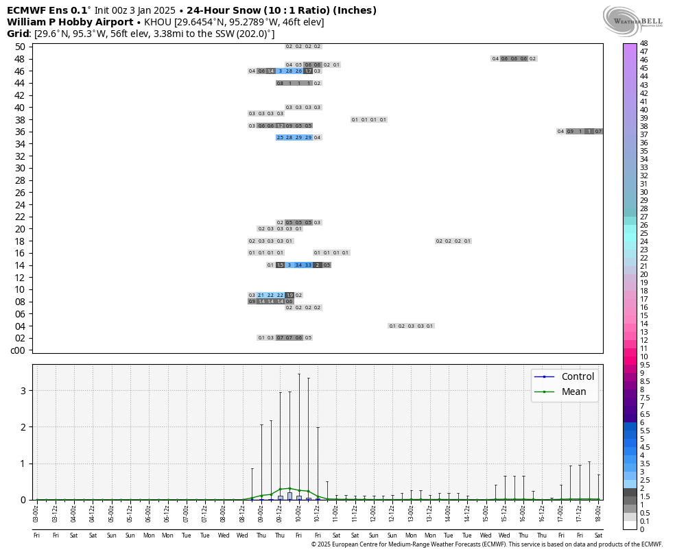
Temperatures remain cold during the latter half of the week, and we’ll need to keep our eyes on a coastal low pressure system that could bring some decent precipitation chances, especially on Wednesday night and Thursday. Depending on whether this system delivers, and how cold temperatures get, we could see some sort of sleet, snow, or other wintry precipitation on Wednesday night or Thursday morning. Saying precisely what, or how much, is impossible this far out. The bottom line is that if you have plans for Thursday they could be a little messy. We’ll see.
Later next week
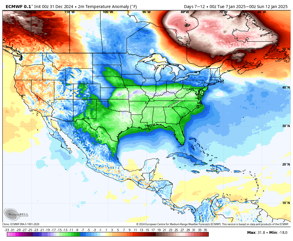
Temperatures begin to moderate somewhat heading into next weekend, although we still look cool for this time of year, with highs in the 50s and lows perhaps in the upper 30s, give or take. Winter, for the next week at least, is going to feel like winter around here.