In brief: With high pressure asserting control over our region’s weather, the forecast period looks mostly hot, and mostly sunny, for the foreseeable future. At some point we’re going to start getting some fronts and a more fall-like pattern, but we are not going to reach that point this week.
Highs and lows
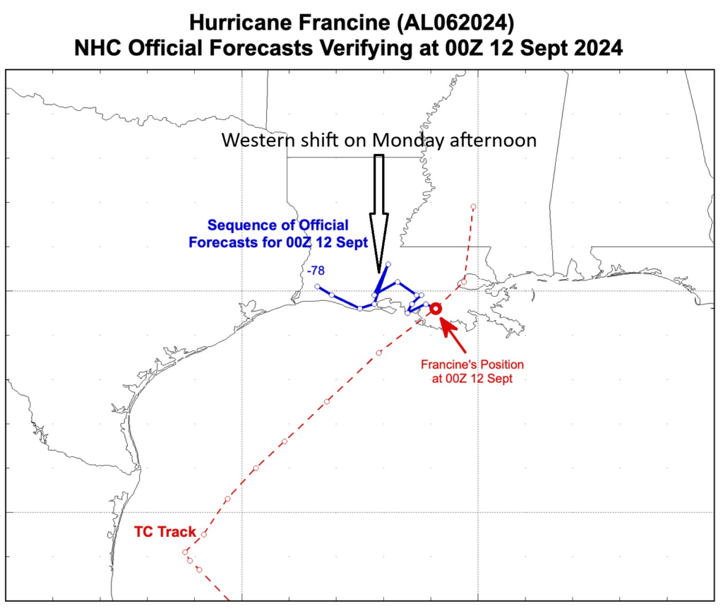
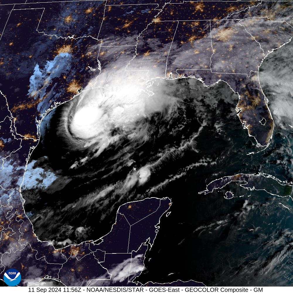
We are now in mid-September, a time when historically the Texas coast is most vulnerable to large and powerful hurricanes. The first line of defense for our region in August and September from hurricanes is high pressure. This makes for hot and sunny conditions over land, but also establishes an atmospheric pattern that steers storms away.
For the next week or 10 days, we’re going to see a fairly dominant high pressure system over the Texas coast. That may not be what you want to see weather wise in Houston, as it will mean hot and sunny days and an absence of fronts to cool us down. However, it will also keep any low-pressure systems at bay. In short, at a time when we would normally be most concerned about hurricanes and Texas, we can breathe easy for now.
Monday
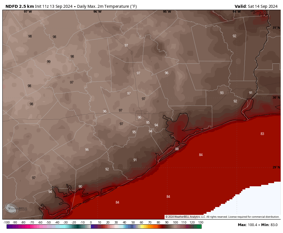
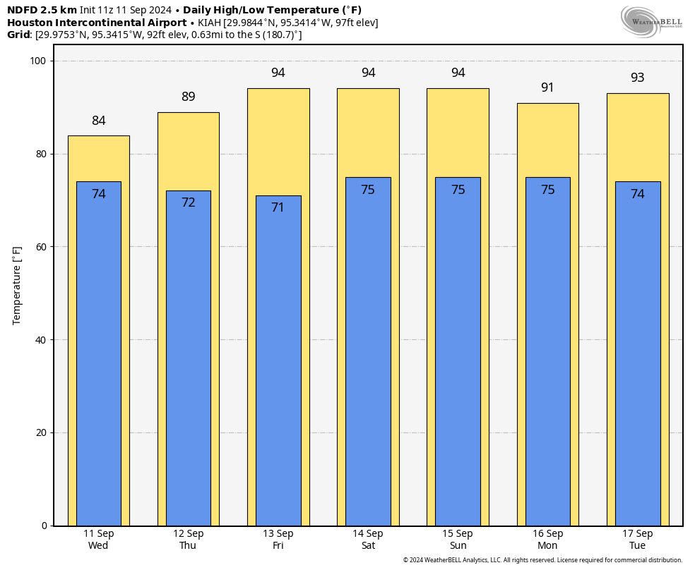
We’ll see a mix of clouds and sunshine this morning before clearing skies this afternoon. Expect high temperatures generally in the mid-90s, with light northerly winds. As for rain chances, they’re not zero, but they’re less than 10 percent. So close enough. Lows tonight will drop into the mid-70s.
Tuesday through Friday
As mentioned above, with high pressure in place do not expect much change in our day to day weather. Highs, generally, will be in the low- to mid-90s with mostly sunny skies. Low temperatures will fall into the mid-70s. Winds all week look to be fairly light, in the vicinity of 5 to 10 mph. In terms of rain chances, they’re not exactly zero. But they’re not much above 10 percent each day. Most parts of our region are unlikely to see any accumulation this week.
Saturday, Sunday, and beyond
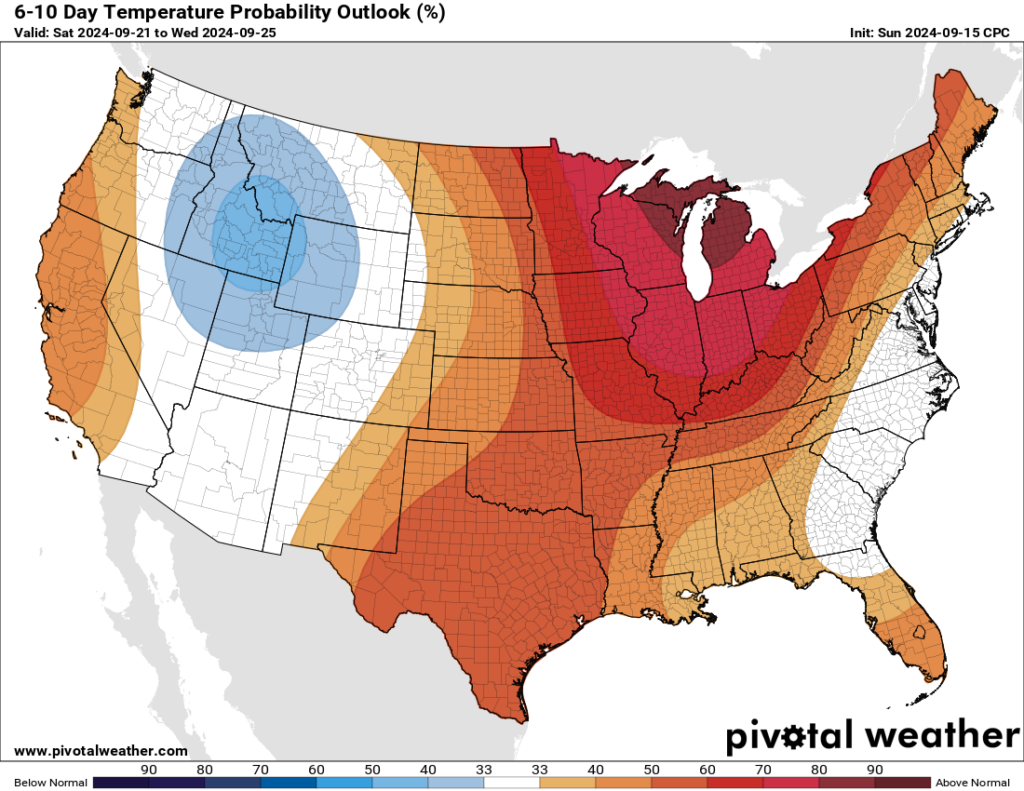
At this point the overall pattern appears unlikely to change much this weekend, or even into the early part of next week. Highs, generally, should remain in the low-90s, with mostly sunny skies, and low rain chances through the weekend at least, if not beyond.
Tropic
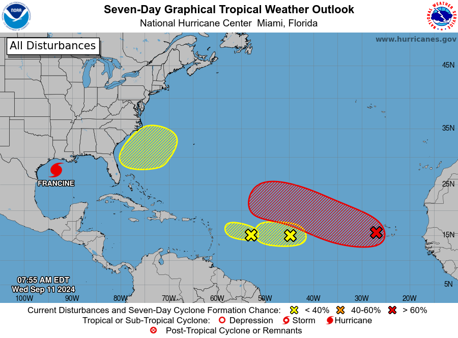
The tropics are decidedly not quiet, but for our purposes in Texas they’re not of any concern. The only thing I’m watching is the potential for some development in the western Caribbean Sea about eight to 10 days from now. There’s no evidence this will track toward Texas, but it’s the only development likely near the Gulf of Mexico in the near term. If you want to know what’s happening across the Atlantic basin, be sure and check out The Eyewall.