In brief: Another smattering of downpours is likely today, however, it will probably favor the southern fringe of Houston (Galveston/Brazoria Counties). Much calmer weather begins tomorrow, along with less humid weather thanks to our cold front as well. It still looks hot, but it will be much more tolerable at times, especially in the mornings.
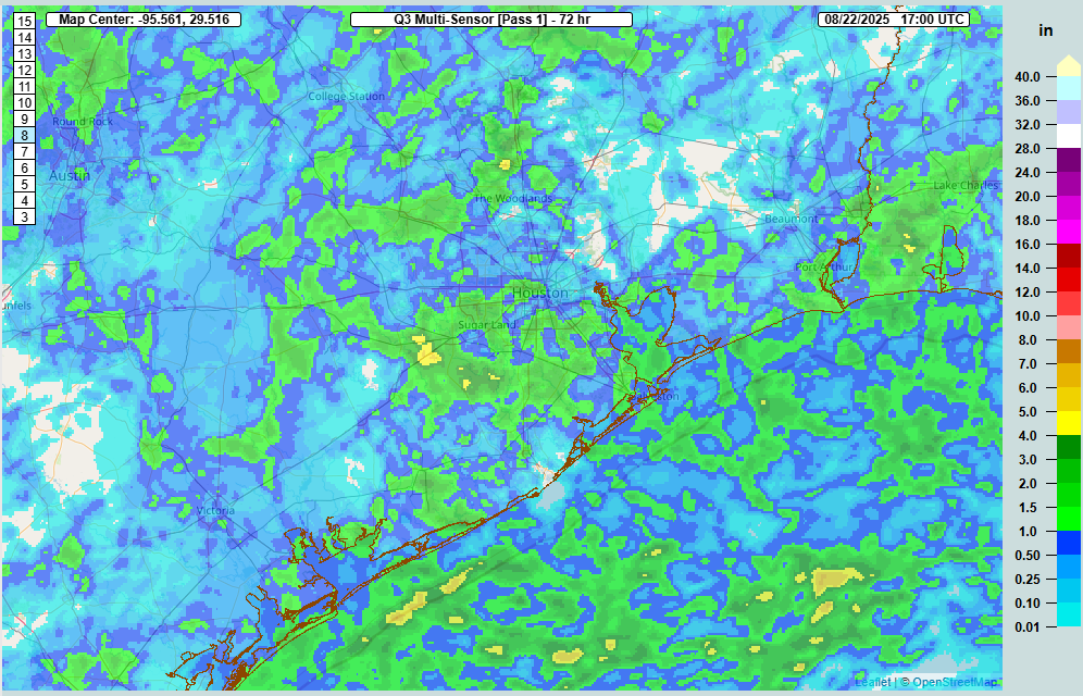
Yesterday saw some impressive rains resulting in some street flooding and a flash flood warning near and just southeast of downtown Houston. Rain totals over 3 inches are plotted below.
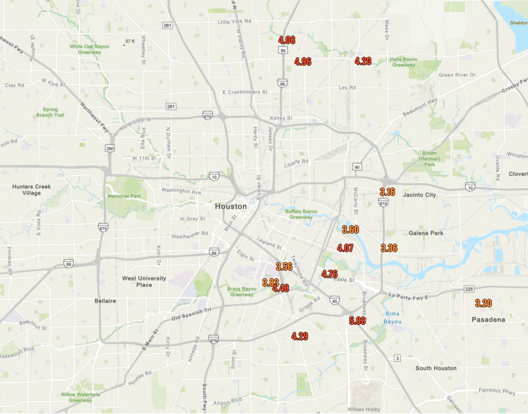
We had just shy of 6 inches near 45 and the South Loop, just shy of 5 inches at Hirsch and Tidwell, and over 3 inches on the University of Houston campus. Overall, it was quite an active afternoon.
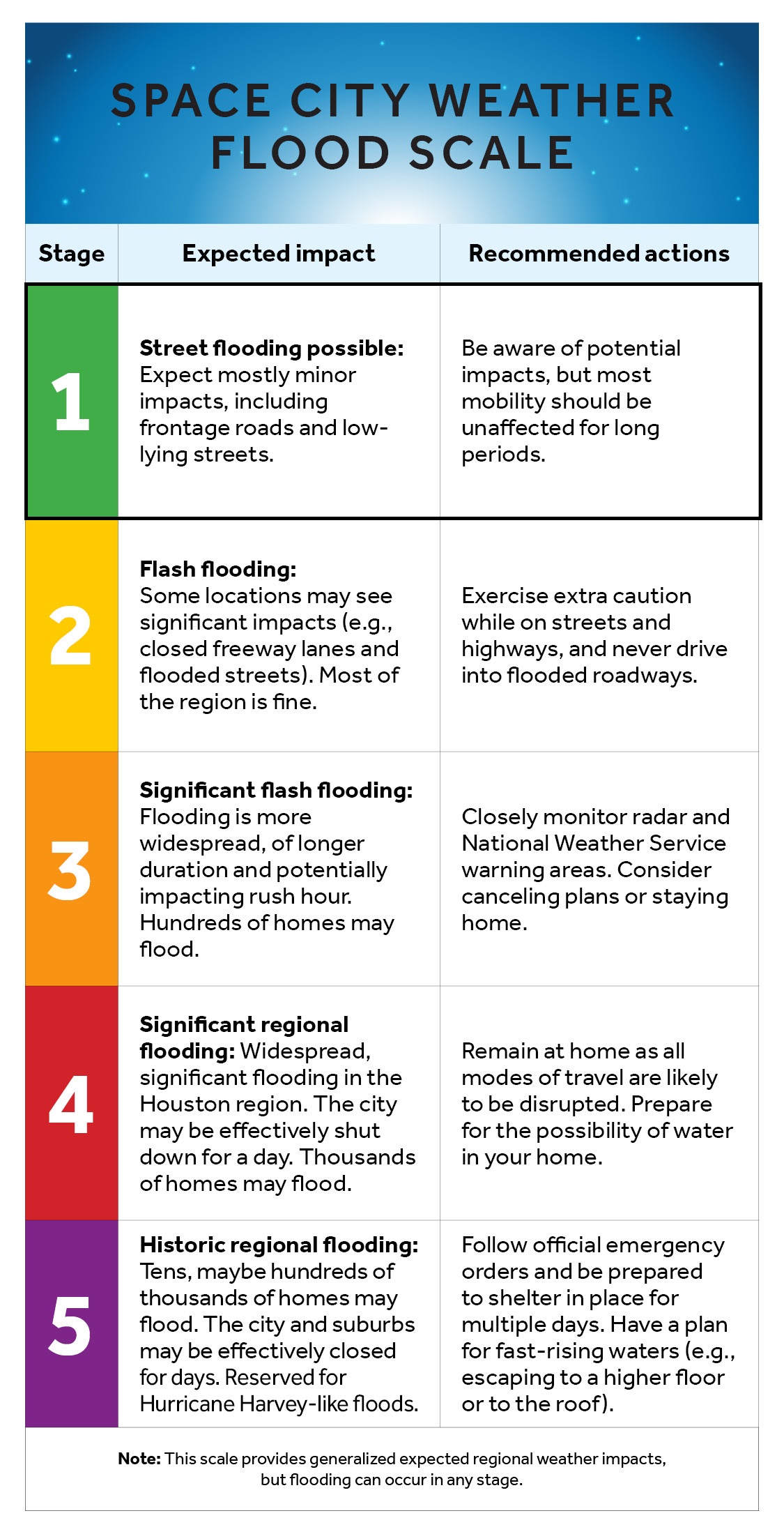
As for today, we’ll probably take down the Stage 1 flood alert we put in yesterday by this evening. There will still be downpours around today, and I think areas south of I-10, particularly down near Galveston or in Brazoria County will have the highest odds of some localized street flooding. Just a heads up for anyone returning from the coast from the holiday weekend.
Otherwise, look for intervals of sun and clouds with highs generally in the upper-80s to low-90s.
Rest of this week
A rather tranquil early September week awaits Houston. In terms of thunderstorms, other than an isolated one tomorrow, it looks like our next real chance at showers will wait til the weekend. Our first “front” of autumn is here now, and this about as good as we can hope for in the first week of September. We will actually see daytime highs increase this week, owing to a combination of fewer storms and drier air. In fact, by Thursday or Friday, we could be pushing the upper-90s again. But that drier air means it will be less humid than usual for the first week of September.
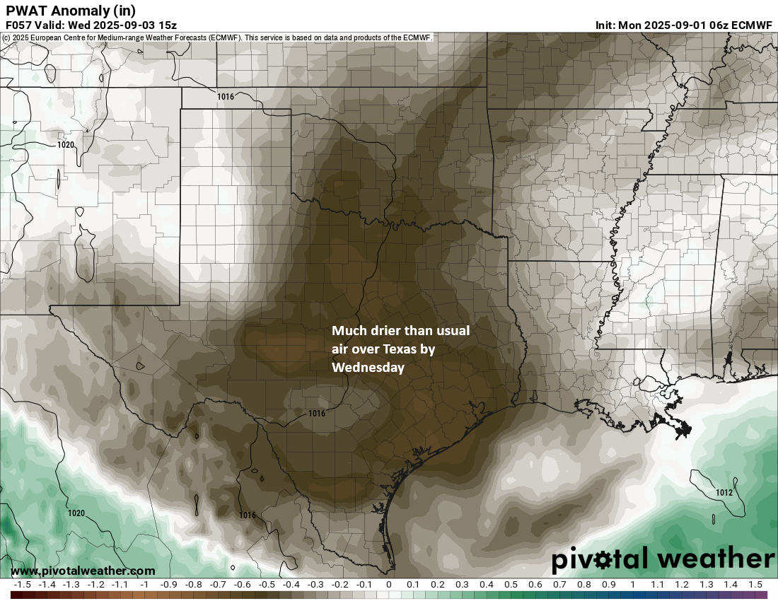
Less humid air should also translate into mornings that feel half-decent; not cool by any means but quite tolerable. A few locations on the outskirts of the metro area should see lows in the 60s I would imagine by Wednesday or Thursday morning. Overall, I’m not sure you could realistically script a much nicer week to open September with!
Another cool front is going to try and approach again later this week. This one will have limited luck in pushing through, but this could again reinforce the somewhat drier air mass over Texas early next week as well.
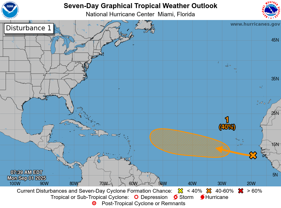
Tropics
The tropics continue to look calm in the Gulf. There is one area with (at least) a 40 percent development chance in the Atlantic, but this one will take a few days to get moving and is over a week out from the islands, not a concern for the Gulf at this point.
We have about 4 to 5 weeks of peak Texas hurricane season remaining. The first one looks good. Fingers crossed.