In brief: The first part of the weekend looks good, but we do expect Houston to see thunderstorms on Easter Sunday. Some of those storms could be strong, and that will be followed by more storm chances next week. Springtime is in force.
Today & Saturday
If you like hot weather, you’re in luck! There’s a pretty good chance we’ll hit or exceed 90 degrees today. It will also be quite breezy with south winds gusting up to 30 mph or so. Other than that, expect a mix of clouds and sun.
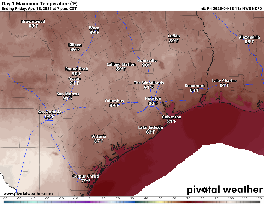
Saturday will be a bit cloudier. We’ll have a very mild morning, with lows probably not much below 75 degrees, close to a record for warmest April 19th morning. The day should again be breezy, mostly cloudy, and not quite as hot (but plenty humid). Highs should get into the mid or upper-80s. Shower chances look minimal, but I wouldn’t be shocked if the sky squeezed out a few raindrops here or there. Better shower chances will exist back toward Hill Country.
Easter Sunday
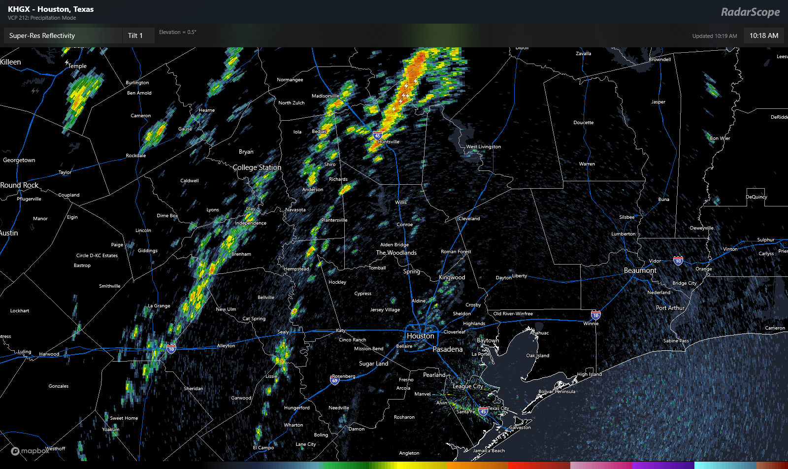
Sunday morning will be at least a little interesting. There should be a line or complex of thunderstorms near I-35 and the Austin area around sunrise. As those cross I-35 and move toward southeast Texas, they *should* begin to fall apart. Thus, the morning should be mostly cloudy with a couple showers here or there. As the boundary from that decaying line of storms hits Houston in the afternoon, we should see new thunderstorms blossom across the area. Some of these storms could be on the stronger side, and the SPC has us partially in a marginal (1/5) risk for severe weather on Sunday. This could yet change some between now and Sunday.
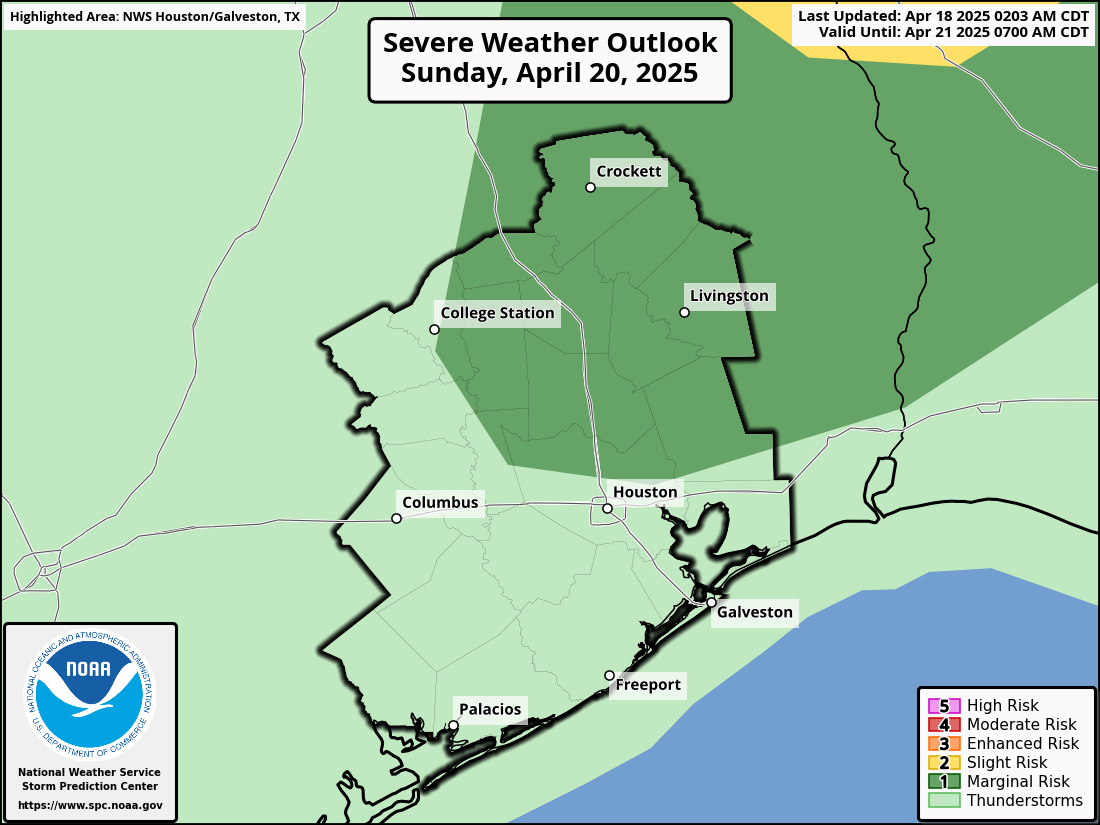
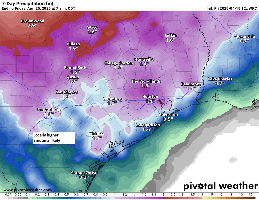
In addition to the potential for some strong to severe storms, atmospheric moisture levels will be more typical of mid-summer, so we could see some torrential downpours and localized street flooding crop up.
Eric and I will monitor this through tomorrow and have any updates for you on Sunday morning.
Next week
The cold front that will be responsible for the storms on Sunday is likely to stall out or wash out overhead. I would not be shocked to see the focus of thunderstorm activity on Monday to stay mostly east of Houston, closer to Lake Charles and Beaumont. But by Tuesday, that may swing back toward us, leading to scattered storms for Tuesday and possibly Wednesday or Thursday. This is the time of year where we can see afternoon storms blow up in portions of north or central Texas, organize into a cluster, and make their way toward us as complexes of storms called mesoscale convective systems (or MCS’s). I would not be at all shocked to see us have to wrangle that next week at least once. Bottom line: It looks unsettled.
It’s a bit early to get into potential specifics, but it does appear that next week will be active. The clouds and shower chances will hold daytime temperatures lower next week (more like low 80s), with warm nighttimes in the upper-60s to low-70s.