In brief: Another round of localized heavy rain, street flooding, and lightning will be possible this afternoon somewhere near or just northwest of Highway 59/I-69 in Houston. Slightly less coverage for Saturday, then more numerous showers and storms come at us Sunday and Monday before we dry out and heat up.
If you live inside the Beltway on the north and west side of Houston, you probably got walloped yesterday. Over 4 inches of rain was recorded at Ella and White Oak Bayou.
Rain totals north of 3 inches fell in a pretty broad area between The Villages and Garden Oaks. Many other locations saw 1 to 3 inches of rain. Outside the Beltway, it went quiet until you got up to about Kingwood (always, Kingwood) and down into Fort Bend County. Yesterday was just one of those days where boundary collisions ruled the day. A few storms popped up, steering winds were weak, and basically atmospheric bumper cars ensued until we exhausted the instability in the area.
Today
We don’t expect a carbon copy today, however I would not be shocked to see a generally similar setup play out across the area. We’re already seeing some downpours in Liberty and Chambers Counties this morning. As the morning goes on and the sea breeze starts entering the mix, migrating inland with peak instability, we’ll likely see storms fire up near Highway 59/I-69.
A few places could again see multi-inch per hour rain rates that could cause street flooding. We’re holding off on a Stage 1 flood alert today, but I will admit it’s a close call. Just use caution in any storms today, as you should in summer.
Weekend
I think things will ease up a bit on Saturday. There will be showers and isolated thunderstorms around. There may be locally heavy downpours for a short time in any given spot. But overall the intensity and coverage of storms may be lower tomorrow than it has been to close the week out.
Unfortunately, the same does not hold true for Sunday, which should see more numerous, if not widespread showers and thunderstorms across the region. Storms could begin firing up as early as mid-morning and continue through the day, migrating generally north and west as the day progresses. Have an umbrella handy both days, but have a good indoor backup plan available on Sunday.
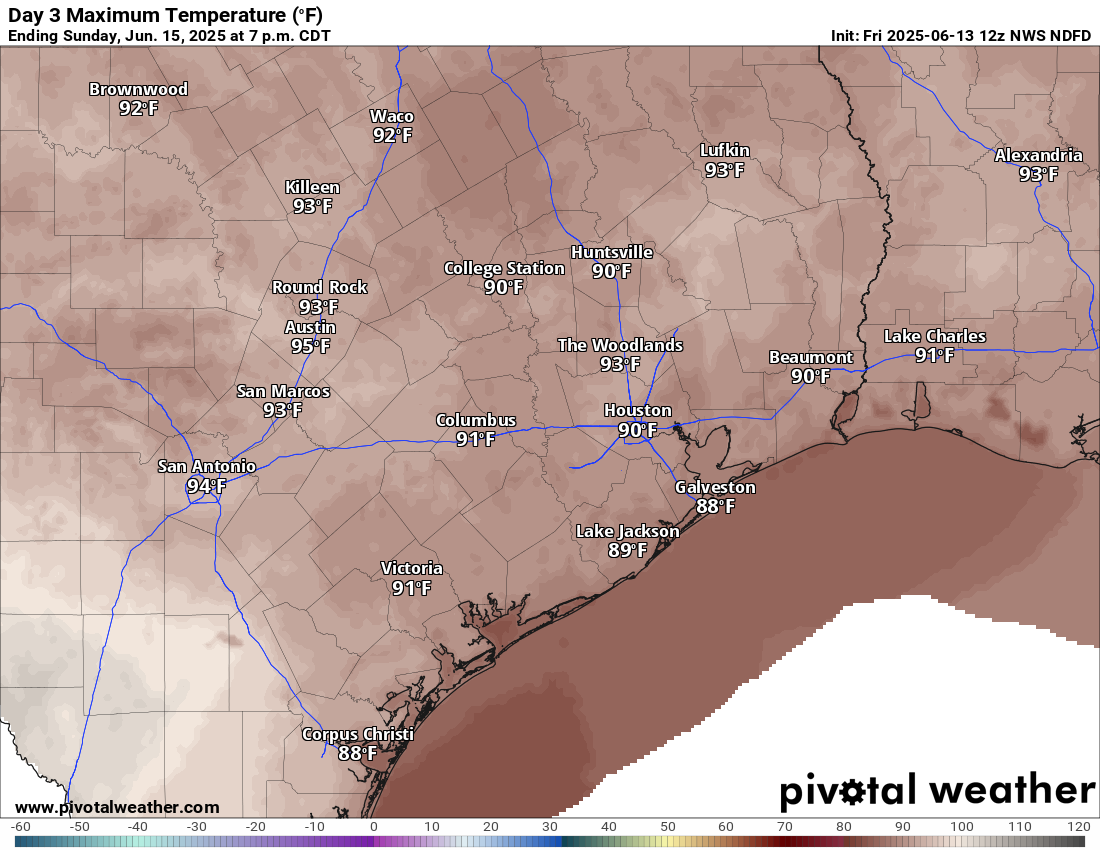
Temperatures should top out in the lower to mid-90s on Saturday and low-90s or even upper-80s on Sunday.
Monday
Monday looks like another active day with showers and storms popping with daytime heating. Look for low-90s and scattered PM storms.
Rest of next week
Tuesday begins a trend of diminishing rain chances. Expect more of isolated coverage of storms on Tuesday, a handful on Wednesday, and perhaps none at all by the end of the week. In response, temperatures are going to begin to pick up. We’ll have mid-90s Tuesday and Wednesday, followed by a chance at upper-90s to close the week.
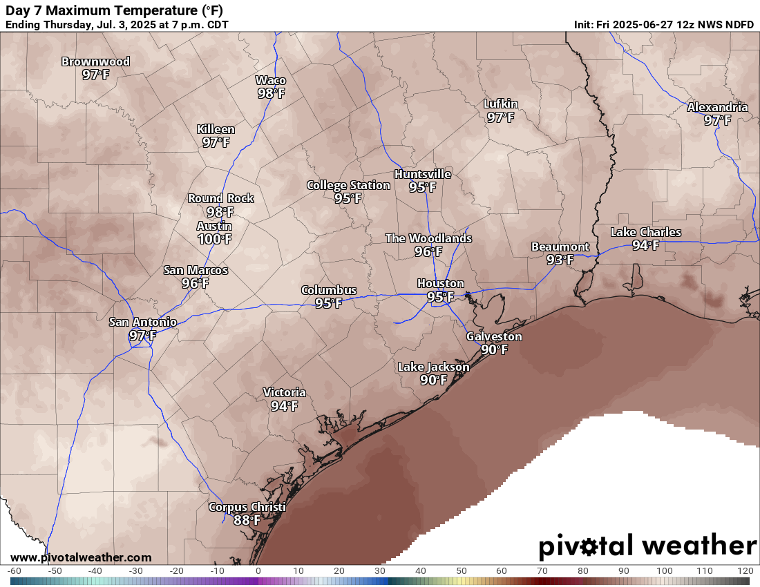
Recent rains and saturated soils may act to keep daytime highs from getting much past 97 or 98 degrees or so officially, but there may be a few parts of the area that threaten upper 90s to near 100 by next weekend. Stay tuned.
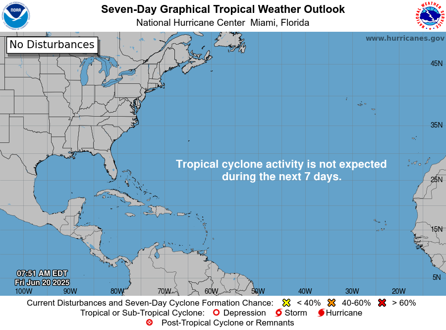
Tropics
A discerning eye will notice a new tropical area to watch on the National Hurricane Center site down in the Bay of Campeche. This has a very, very slight opportunity to develop over the next couple days.
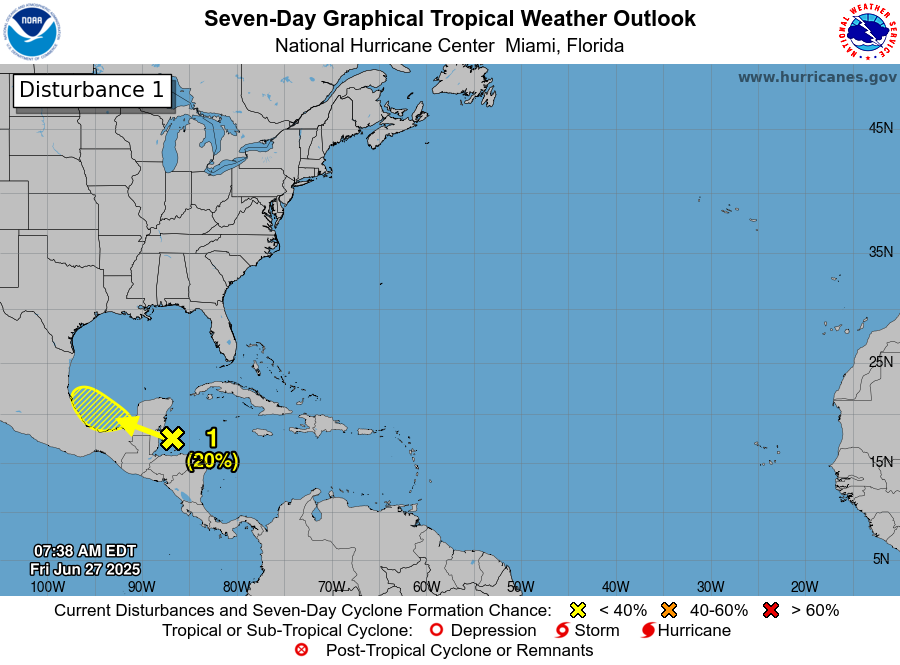
The good news is that it will almost certainly scoot right into Mexico by Monday. This limits any significant development risk, and this is not a concern for the Texas coast. The next tropical area of interest may be something in the northeastern Gulf or off the Florida coast by next weekend. That too is expected to stay away from Texas and is mainly worth watching for Florida or the Southeast coast.