In brief: In today’s post, although it is quite chilly this morning, we report that Houston is probably done with freezing weather for this season. We also look ahead to a warm day on Thursday, followed by mild conditions this weekend.
Last freeze?
Temperatures are rather cold across the Houston region this morning, dropping into the low- to mid-30s are inland areas such as Conroe and Cleveland, with the low 40s in the urban parts of the region. However, with it not freezing this morning, Matt and I are fairly confident the Houston region will not see a freeze again this season.
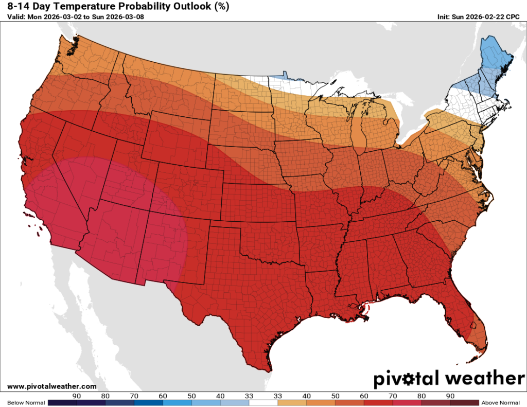
Could it freeze in parts of Houston? On average, the city experiences its last freeze in mid-February (last week), but there have been plenty of years in which temperatures have reached freezing in March. So this is not a firm guarantee from your friendly meteorologists at Space City Weather. But looking ahead at our weather the next two weeks, there is nothing to suggest freezing temperatures are on the horizon. Overall, things look pretty spring-like for us, and that pattern is likely to carry on through March.
Speaking of winter, a powerful winter storm has hit the northeastern United States during the overnight hours. This was well predicted by forecasters, but still quite a striking event for the region from Washington D.C. to Maine. Winds are gusting up to 60 mph, in addition to 1 to 3 feet of snow, in some locations. Matt has been writing about the impacts of this massive blizzard over on The Eyewall.
Monday
By contrast, our weather here is likely to be fair in the days ahead, with sunny skies prevailing for the most part. High temperatures today will push up into the low- to mid-60s, with light northeasterly winds. Low temperatures tonight will again drop into the low 40s in Houston, with the potential for upper 30s for some areas further inland.
Tuesday
This will be another sunny day, with highs pushing into the lower 70s as high pressure eases away from the region. Winds will turn gusty from the south, perhaps up to 25 mph during the afternoon and early evening hours. Lows on Tuesday night will drop to around 60 degrees.
Wednesday
This will be another day in which southerly winds really whip up across the region, gusting to perhaps 25 or even 30 mph, bringing more humid air into the region. Highs on Wednesday will likely reach up to around 80 degrees, with mostly sunny skies. Lows on Wednesday night will fall only into the 60s.
Thursday
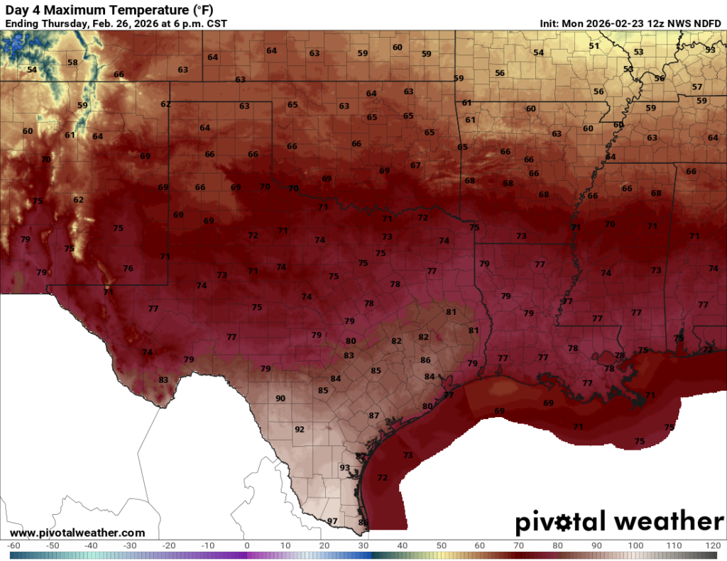
This will be the warmest day of the week, and perhaps the year to date, as highs push into the low- to mid-80s across the region. Temperatures may feel upward pressure due to compressional heating as a cool front pushes southward, likely reaching the area during the afternoon or early evening hours. I don’t expect much in the way of rain with the front, but it should knock lows into the upper 50s by Friday morning.
Friday, Saturday, and Sunday
The weekend looks to be mild, with high temperatures in the vicinity of 80 degrees, and mostly sunny skies. Overnight lows will range from the mid-50s to 60 degrees, probably, with moderate humidity levels. It won’t be cold, but it won’t be steamy hot, either.
Next week
Our mild weather continues into next week, with highs likely in the vicinity of 80 degrees. Some rain chances may return by around the middle of next week, we’ll see!
