In brief: For the most part, Houston’s forecast hasn’t changed, and that’s what we’ve checked in on this Sunday to tell you. Lows in the 30s tonight across most of the Houston area, with a light freeze likely, mainly north of I-10 and outside the urban center.
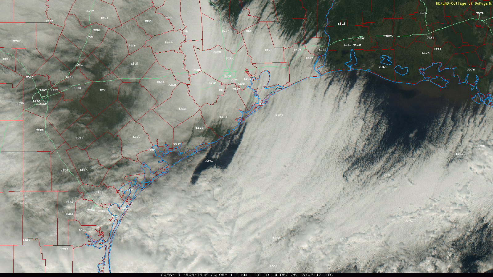
Cloud cover is giving today a pretty gloomy feel, albeit perfect weather to watch the Texans. Those clouds are eroding though, and by evening, most of the area should be mainly clear.
With the clear skies, light winds, and a fresh, cold air mass overhead, we’ll be able to see temperatures drop steadily tonight through the 40s and into the 30s. This isn’t a super cold air mass, so it sort of remains to be seen how much of the area can trip the freezing mark tonight, but if I were a betting man (which after watching NFL RedZone all day, they seem to think I am), I would suspect that about 60 to 70% of places north of I-10 will do so.
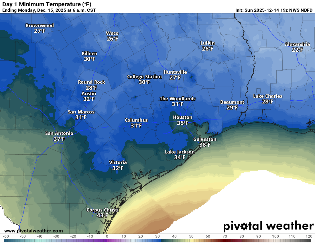
Within the confines of Beltway 8, most of us will probably see 33 to 37 degrees. Between Beltway 8 and the Grand Parkway, you’re probably looking at 31 to 34 degrees north of I-10 and 32 to 35 degrees south of I-10. Outside Grand Parkway north of I-10, most places should do 28 to 32 degrees and 30 to 34 degrees south of I-10. As you can see from the map above, the core of the cold air mass shoots east of us into Louisiana with 20s for Beaumont, Lake Charles, and Acadiana. This is the type of cold weather we get at least several times a winter, so minimal issues are expected, but if you’ve got some extra sensitive plants outdoors, it may be a good idea to prep them.
But we will warm
Look, if cold isn’t your thing, we’ll do 50s tomorrow, 60s on Tuesday, 70s on Wednesday, and near 80 on Thursday. It looks like we get one more weak front before the real warming begins. Eric will have more on that in the morning. In the meantime, stay warm, and go Texans!
