In brief: A Monday night front brought a cool-down to the area, but it will be briefly lived. A second front on Thanksgiving morning will provide a more long-lasting chill, with sweater weather on the holiday. After a cool weekend, rain returns to the forecast later next week.
Tuesday
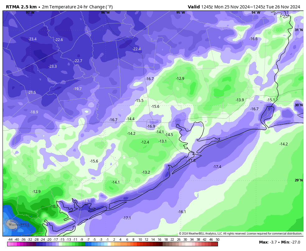
A front arrived on Monday night to bring us out of record temperature territory back down to normal levels for this time of year. Lows this morning have dropped to about 50 degrees in Houston, with cooler conditions for outlying areas. This will be one of those blink-and-you-miss-it fronts, with the onshore flow returning by this evening. Essentially, that means the dry air will last about 24 hours.

Today should be spectacular, however. Expect highs of around 70 degrees, low humidity, and mostly sunny skies. Winds, generally, will be light. We’ll see an increase in clouds tonight, and lows will probably only drop to about 60 degrees, or a touch lower, as dewpoints recover.
Wednesday
This will be a partly sunny, and much warmer day. Look for high temperatures in the low- to mid-80s. (The record high for Wednesday is 84 degrees, and we’re going to come very close, if not break it). Winds will pick up from the south, perhaps gusting up to 25 mph as a warmer, more humid flow moves in during the daytime. Lows on Wednesday night will be slow to fall, reaching only the mid- to upper-60s ahead of a cold front.
Thanksgiving
A stronger, more long-lasting front will arrive on Thursday morning, perhaps pushing into Houston by around sunrise and off the coast shortly thereafter (there is still a bit of uncertainty regarding the timing). A few, very isolated showers are possible, but I wouldn’t expect any rain as the front pushes in. What we will see are northern winds, gusting to 20 to 25 mph.
Skies look to be mostly cloudy during the daytime, with temperatures generally in the low- to mid-60s. So after a long and abnormally hot November, Thanksgiving will indeed feel seasonal. You might even wear a sweater. Lows on Thursday night will drop into the 40s, with some decently gusty winds holding on, so bear that in mind if you’re doing some early morning shopping on Friday.

Friday, Saturday, and Sunday
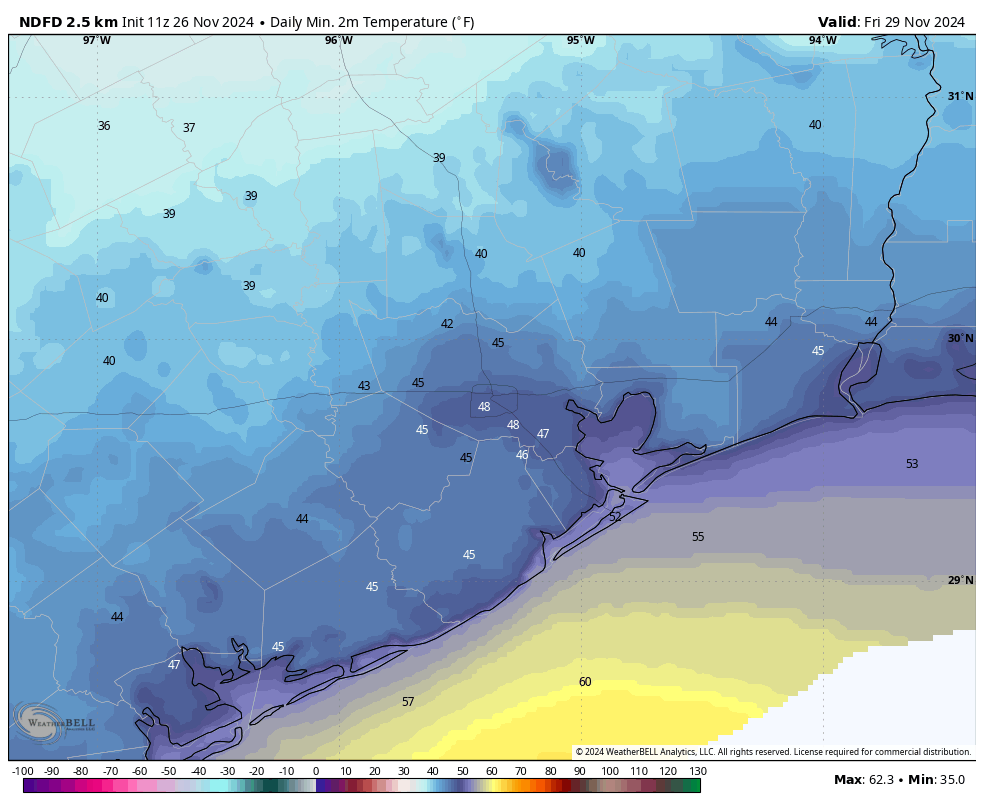
Generally this cooler and drier air will hold on through the weekend. Expect highs generally in the 60s, and lows in the 40s, with partly to mostly sunny skies. Rain chances will be about 10 percent each day, so not zero, but definitely not likely. This will be the first winter-like weekend of the season.
Next week
Although the details are blurry, the general contours of our weather for next week are coming into better focus. We’ll see some low pressure in the Gulf of Mexico that could support the development of daily rain chances for much of the week, with a total of perhaps 1 to 3 inches over several days. Skies will be mostly cloudy with daily highs perhaps in the 60s, and lows in the 50s. We’ll see.
Fundraiser
We have just a few more days left in our annual fundraiser—your one opportunity each year to support the work we do, and buy merchandise to show your support of the site. Thank you to all who have given so far! More information can be found here.

Yesterday was ridiculous, as will tomorrow. Please not again for Christmas.
Yay! Rain in the future….that lifted my day
I like yesterdays bold prediction that we have seen the last of the 80 degree days for the year.
Yeah I highly doubt that. We have 80+ degree days every December now. In 2021 we had 18 days hit 80 and above. And after how warm this Fall has been I wouldn’t be surprised if this December ends up being the same.
“Temperatures on Tuesday morning are 15 to 20 degrees cooler than on Monday morning”
I don’t see the use for such a chart; if one does not know what the normal temperatures is, what’s the point of showing how much lower it is going to be?
That’s the difference
That graphic has nothing to do with the normal temperature. It’s comparing this morning’s temperatures with yesterday morning’s…
it’s to show how rapidly the temp is to change, good to know for outdoor workers, runners and our dear friend Aggie, who go out and do outdoor activities day after day. The comparison is helpful for knowing what to expect and how to dress.
We need the moisture.