Good morning. Houston had another day on Wednesday when the official high temperature at Bush Intercontinental reached 89 degrees, but didn’t tick all the way over to 90. Now only 1897 (June 15) and 1970 (June 12) have gone deeper into the calendar year without reaching this mark. This run has occurred both because of extensive cloud cover in May and early June, as well as wet soils. Houston now hasn’t had a 90-degree day since October 15th.
TODAY and FRIDAY
I think the next couple of days will be a lot like the middle of the week, with the exception that we might see a little bit better rain coverage this afternoon. I expect highs will get near to 90 degrees, or finally break through that threshold. Temperatures will depend on the extent to which cloud and widely scattered rain showers develop over the city this afternoon in response to the seabreeze.
SATURDAY and SUNDAY
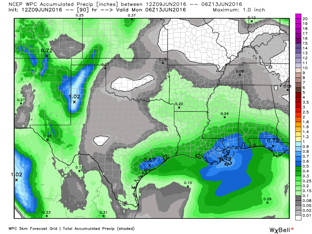
Higher moisture levels and a weaker capping inversion should nudge rain chances up to 30 to 40 percent this weekend, but we shouldn’t be too concerned about any kind of severe weather. If rain does develop I’d expect it to be the standard, summer-time rain of fairly short-lived showers during the afternoon and evening hours.

Accumulations will probably be highest (but still around 1 inch, or less) to the southwest of Houston. Highs likely will be in the mid-to-upper 80s.
NEXT WEEK
Some weak high pressure attempts to build itself over the region next week, which will limit rain chances but probably not completely shut them off. Highs in the low 90s are likely to occur in response to the higher pressure by Tuesday or Wednesday.
Only in Houston can October 15th be a hotter day that June 9th.