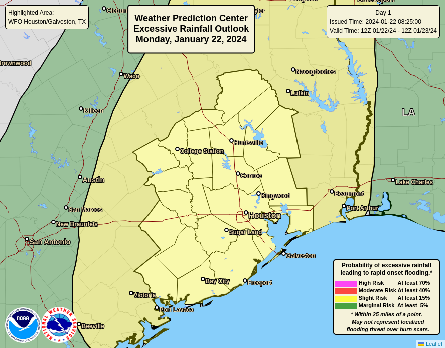
Summary: Rain showers are moving into the Houston area from the west, and we’ll see the threat of heavy rainfall from now through Wednesday. It will be a decidedly soggy period, and we have instituted a Stage 1 flood alert to account for the potential of street flooding.
Monday
As expected, an upper-level storm system is inching toward our area, and this is producing widespread showers to the west of Houston. These showers and thunderstorms will spread across the metro area this morning and remain with us for much of the day. I expect most of the area, from the Brazos Valley on down to Galveston, to pick up 1 to 4 inches of rainfall today and this evening. Rain chances are effectively 100 percent with a saturated atmosphere and ample sources of lift. The one good thing I can say about the showers is that, generally, individual storm cells should push through fairly quickly from west to east. So the overall threat of ‘training’ storms is lower. There may be a brief lull in rain showers this evening or during the overnight hours before a second round of showers pushes in early on Tuesday.
In terms of temperatures, after a cold weekend, we’re seeing a surge of warmer air that will remain with us for most of this week. Highs today should reach the low- to mid-60s, with low temperatures tonight only dropping to around 60 degrees. Winds will also be noticeable today, blowing from the southeast at 15 or 20 mph, with gusts up to 30 mph. So yeah, not a great day for a picnic.
Tuesday
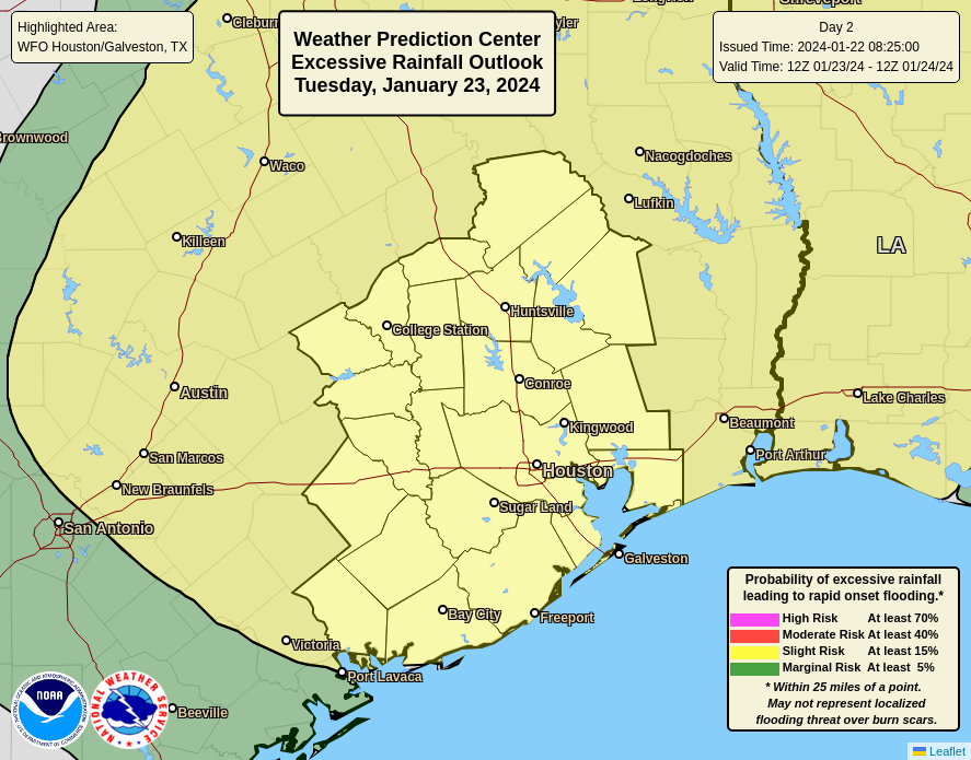
This will be another day that favors widespread rainfall. However, it’s possible that this setup will produce higher rain totals to the north of Interstate 10, and areas further inland, instead of closer to the coast. In any case, much of the area could pick up an additional 1 to 3 inches of rainfall. Highs will again be in the 60s to near 70 degrees. It’s possible that we see another lull in rain chances during the evening or overnight hours.
Wednesday
This should be the region’s final day of widespread showers, although conditions look marginally less favorable than on Monday and Tuesday. Still, pretty much everyone is going to see rain, with totals in the vicinity of 0.5 to 2 inches, probably. Highs will be in the upper 60s. I expect most people to pick up 4 to 6 inches of rainfall through Wednesday, with some areas seeing greater bullseyes.
Thursday and Friday
These will be a pair of partly sunny days, with highs around 70 degrees, slightly less humidity, and nights in the 50s. Rain chances won’t go away entirely, but they should drop down to about 20 or 30 percent each day.
Saturday and Sunday
Saturday should be partly sunny, with highs perhaps in the 60s. We’ll see a decently strong front push through sometime during the early morning hours or daytime, and there may be a smattering of rain with the front. Afterwards lows drop into the 40s. Sunday should be sunny, with highs perhaps around 60 degrees.
Next week
Most of next week looks quiet, with highs in the 60s and lows in the 40s. Rain chances look fairly low through at least Wednesday or so, giving us some needed time to dry out.
Site note
Matt and I will be monitoring today’s rainfall closely, and if an update is needed to our flooding expectations, we’ll update accordingly.


I dig the rain—just not too much of it. Hoping for a soggy but manageable week!
I generally dislike rain, I’m a sunshine guy, but let’s try to refill these reservoirs in January and February before the heat comes back. Hopefully no drought repeat in 2024.
Just curious, where is the ground “frozen” as stated in yesterday’s post?
It means due to last weeks freezing temps it caused the soil to freeze, while the top soil was able to thaw out, the deeper soil takes longer.
So while some rain will absorb in the soil, it will be at a slower rate hence the risk of water ponding and flooding due to high rainfall amounts
The soil/ground was never below freezing in the soil last week. The ground is not frozen, nor was it ever. The deeper you go, the warmer it gets. This is why frost pushes down, from the top.
Now, if the ground was below freezing (Significantly so, because air temp around 30 degrees will not freeze the ground) for a week or two, yes, the scenario is true. But it isn’t true here. The ground never froze.
Agreed. Odd post.
Currently January is running over 6 degrees below normal. So warmer weather even if it’s wet is OK with me. It helps take the sting out of last years hot and dry summer.
Like Mike, I’m more of a sunshine guy but bouts of rain are both good for keeping drought at bay and to break up the monotony of sunny days.
And, while today is “warmer”, it is still cool by Houston standards and I’d like to enjoy these cool days for as long as possible. The summer heat will return all too soon.
It may be cool compared to summer, but I would say about average for this time of year.
You and Mike are wonderful. I appreciate your daily briefing(s) on our weather, especially when it’s a little unusual for Texas. Thank you.
Mike?
The continued reference to “north of Interstate 10” is so frustrating. I live in the Heights which is, in fact, north of I-10. Do you actually mean “north of the beltway, like The Woodlands, or do you mean 90 miles north of I-10 like College Station? It’s negligent to use that phrase, in my opinion, as it seems you clearly don’t mean inner city points “north of Interstate 10” but, rather, points far, far north of Houston. Clarity here is important for your readers.
I don’t think it does mean far north, not sure why you think that. I live on the southern edge of Cypress and when they say “north of I-10” it seems to apply here. I am certainly not as far north as the Woodlands or College Station, nor am I north of the Beltway. I have seen the weather guys on TV use the same metric; I think it’s just a common marker here.
While it’s true you may be technically north of I-10, really, the Heights basically sits on I-10. So it may or may not apply to you, and I would just keep that perspective in mind when reading these forecasts. Weather forecasting is hardly exact anyway (it’s not like he said it was a certainty areas north of I-10 would get more rain on Tues).
Marlie – I have always understood that to mean how the weather is impacted where the coastal plains start to rise to the inland regions, which I-10 roughly follows the southern edge of in the Houston region. Around 30 years ago it was more common to sometime reference (Alt) US-90 as a reference line, but the change will not a firm line since the impact grows as the ground rises and one moves further from how the Gulf itself impacts weather. I have seen how those impacts can start inside the beltway compared to areas closer to the coast.
https://en-us.topographic-map.com/map-wv2nh/Houston/?center=29.82397%2C-95.49866&zoom=9
These forecasts are regional. I don’t think they really even have the technology to forecast on a microlevel, at least not before a system actually sets up. When I-10, I-45, etc. are referenced as boundaries, you should consider yourself as potentially on either side of the threat and just keep an eye on developments. I’m just south of I-10, in Montrose. You can get add more personalized forecasts with Weather Underground and check rain gauge totals on Harris County FWS.
I notice the phrase “may not represent localized flooding threat over burn scars” in the legend of the images included. What does “burn scars” mean in this context?
It’s referring to ground that has been affected by a wildfire – https://www.weather.gov/riw/burn_scar_flooding.
If next week is highs in the 60s and lows in the 40s, that is about the average for this time of year, for January, and would be a welcome change from the cold, especially if there is a good bit of sunshine.