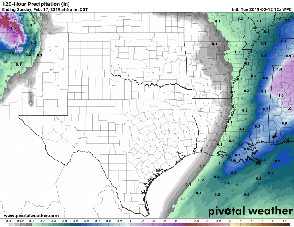
The last of the rain showers associated with Monday night’s cold front are pushing through the coastal areas, and drier air is flowing into the region from the northwest. After days and days and days of mostly cloudy conditions, Houston should now see a nice stretch of mostly sunny and dry weather.
Tuesday
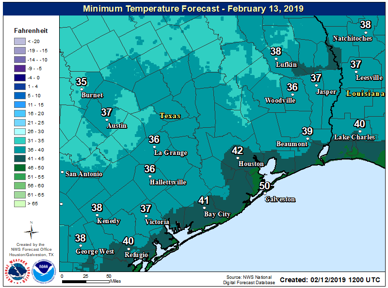
Areas well inland, near Conroe and College Station, are already seeing clear skies this morning, and this general trend will move into Houston and the coastal areas later this morning with the influx of drier air. The clearing skies should allow highs today to get into the mid- or upper-60s. The primary concern will be winds, which could gust up to about 20mph as the front pushes in. Temperatures tonight will drop down to near 40 degrees in the city, with cooler conditions further inland, and a bit warmer near the coast.

Wednesday
A beautiful, mostly sunny day with highs in the mid-60s. As a more southerly flow returns later in the day we can expect more moderate nighttime temperatures about 10 degrees warmer than Tuesday night.
Thursday and Friday
The warming trend will continue to end the work week, with pleasant, partly to mostly sunny days in the 70s. Nighttime temperatures will remain in the 50s and perhaps lower 60s for areas near the coast.
Saturday and Sunday
The weather for the weekend is a bit in flux, as the forecast models are having a hard time determining when to bring through the next front—Friday night, Saturday, or Sunday?—and as a result we have some real questions about temperatures. Generally, it’s probably best to not have too much confidence in the weekend forecast just yet.
Overall, we probably will see at least some partly sunny skies, and depending on how late the front is, highs on Saturday could get up to around 80 degrees. By and large, the models are still pretty dry with this frontal passage, so rain chances on both Saturday and Sunday still look pretty low. Temperatures on Sunday are going to depend a lot on the frontal timing, and anything from 60 to 80 degrees seems possible at this point, although I’d lean toward the lower end.

Next week
Whenever the aforementioned front finally drags itself into the Houston region area, it will bring colder weather and gray skies, likely setting up a period of several days in the 50s, with on-and-off rain chances. We’re not looking at anything too extreme, but after our stretch of five or six sunny days, our dreary February may return for awhile.

Any indication this far out the weather for the first weekend of Mardi Gras?
As if we need another reminder as to how “awful” was our recent series of gloomy, cloudy days, some relatives in Olympia, WA just got a massive snow storm, and their power was out for nearly 24 hours with temps in the 20s. A lot of homes out there have heat pumps, which don’t work too well when that old electric meter gauge isn’t spinning. It’s all relative!
Of course we get tropical storms, but at least we won’t freeze during summer.
BTW, natural gas furnaces don’t work without power, either…….
Any thoughts on the weather for the HLSR Cookoff 2/21 to 2/23? Thanks
Best guess right now is gray, highs in the 60s, on and off light rain.
You mean I’ll actually be able to get my car washed??? I’ve forgotten what “white” looks like.