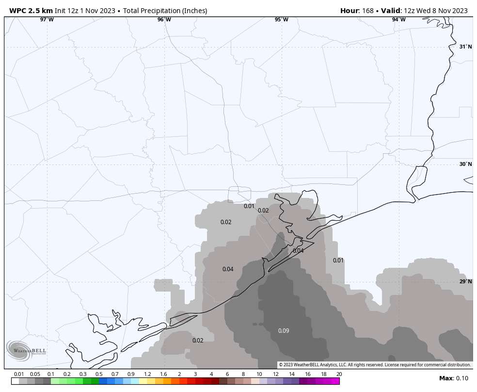
Good morning. If you’re enjoying the colder weather, the good news is that we’ve got a couple of more cool and dry days on tap. If you’re a fan of warmer and more humid conditions, the good news is that we’ll transition back into the mid-80s by early next week. If you’re hoping for some more rain, I’m afraid I’ve only got bad news today.
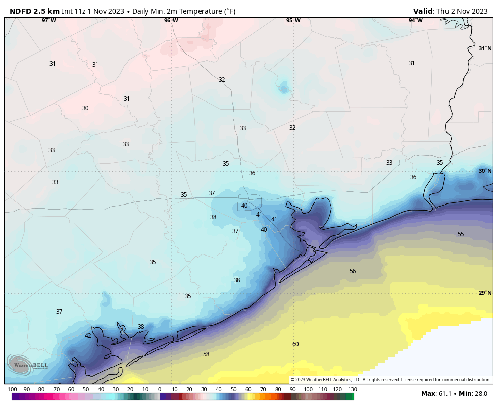
Most immediately, with the forecast, we’ve got a very chilly night on tap. A light freeze will be possible for far inland locations, such as College Station and areas north of Conroe.
Wednesday
The gusty winds are gone, finally. In their place we’ll see generally light winds today from the north, transitioning to come from the northeast tonight. Skies will be sunny, with highs near or just above 60 degrees. With light winds and clear skies, temperatures will cool efficiently after the Sun goes down. Lows will drop into the 30s for much of the Houston metro area, away from the coast and urban core of the city. Areas such as Katy and The Woodlands may drop all the way down to the mid-30s. So yeah, chilly.

Thursday
As high pressure at the surface shifts eastward, winds will follow. Look for light easterly winds during the daytime, with highs in the upper 60s and sunny skies. Lows on Thursday night will drop to around 50 degrees in Houston, with cooler conditions in outlying areas.
Friday
A trend of slowly warming temperatures, and rising humidity will continue on Friday. Look for highs in the mid-70s, with sunny skies and lows Friday night down around 60 degrees.
Saturday and Sunday
Skies look to be mostly sunny this weekend. Although our atmosphere will be moistening up, right now the upper-level dynamics do not favor the development of rain showers. Look for highs of around 80 degrees on both days, with lows only falling into the mid-60s by Sunday night. In short, this should be a really mild weekend, suitable for most types of outdoor activities. Enjoy!

Next week
We’re going to see a continued warming trend next week, with highs most days in the mid-80s with a decent (but not oppressive, I think) amount of humidity. Some sort of front appears to be in the cards by around Friday-ish of next week, but I don’t have much confidence in the details. That’s probably when our next decent chance of rain will come as well. So expect mostly sunny weather until then.


Loving this weather – especially with the return of the sun. It was looking like a Midwestern autumn without it in the sky.
Mid 80’s and humid again??? BOOOO!!!
This was great Holiday-type weather. Hopefully this cold High pressure comes back by then.
The forecast presented here had called for a high in mid 50s today. What happened? Why are we not seeing this, but rather now expect to see 60s?
Oh my goodness. A variation of 3 to 5 degrees. What an epic fail.
Scott made a similar comment in yesterdays post. He is a troll
This made me go back and check the posts that included today’s forecast. Yesterday they called for a high of about 60 today. Monday, same thing. Even going back to last Friday, they said highs in the upper 50s to about 60. So actually, the forecasting here was dead on. But even if they had said mid-50s, 60 is by no means a huge variance.
“The gusty winds are gone”
Not near Westchase, the breezy cold winds got up by 8 this morning making it much colder than it was at 6.
Space City Weather blasting the cold weather again, I see……
1!:~D}
Why doesn’t Goldilocks figure into these weather forecasts?
Welcome back, warm weather. So over this cold and wet weather already.
Leaving work yesterday afternoon was the perfect weather. The air is cool/cold but the sun is warm. Just amazing.
Not so much that “we’ve got” as we simply have. The “got” part is both superfluous and unnecessary. Grammar matters.