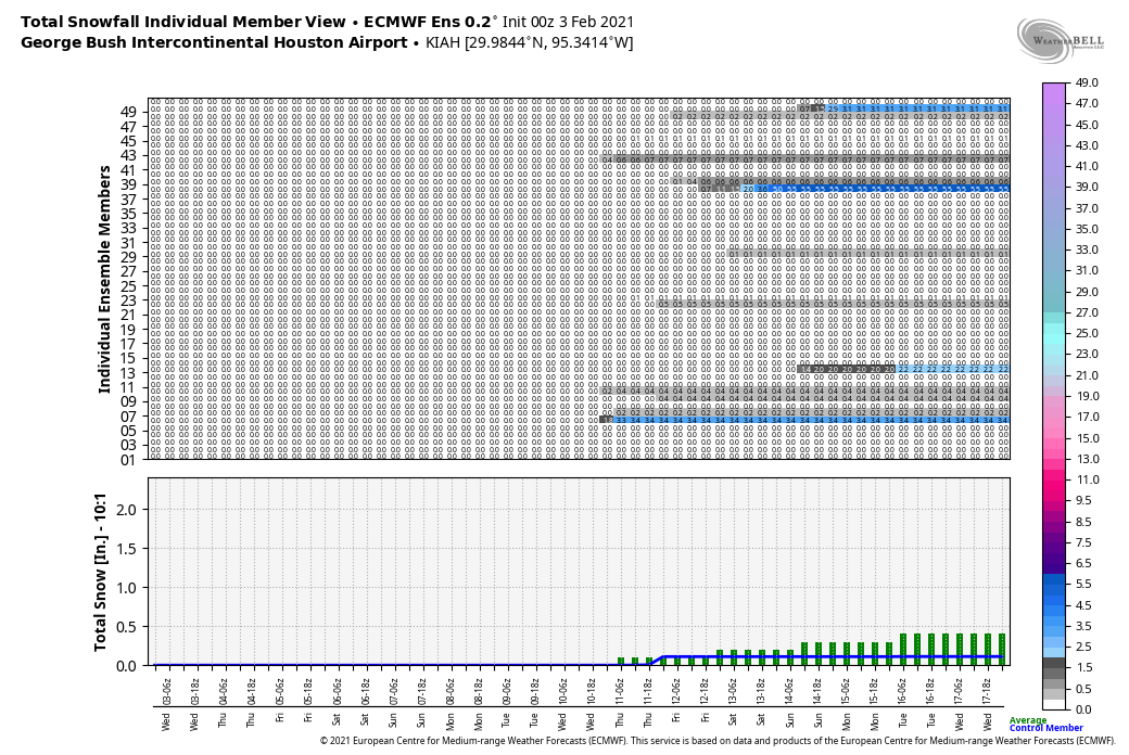
We now interrupt our previously scheduled winter to bring you a brief taste of spring for the next couple of days. But fret not, we expect moderately cooler weather to return this weekend, and possibly a full-on Arctic blast later next week. At this point we’re not even ruling out snow—although the chances of seeing this in Houston remain about 20 percent for now.
Wednesday
Conditions are starting out chilly enough this morning, with much of the area dropping into the upper 40s. However with light winds out of the east, and shifting to the southeast later this morning, Houston will warm up to around 70 degrees this afternoon. Skies will be partly to mostly sunny. Lows tonight will only drop to around 60 degrees in the city city, beneath mostly cloudy skies.
Thursday
Houston will really warm up on Thursday, with a strong southwesterly flow bringing warm air across the region. Highs should generally reach the upper 70s to about 80 degrees in some locations (the record high temperature at both Bush and Hobby airports is 81 degrees). Temperatures will depend, somewhat, on the extent of sunshine that breaks through the afternoon clouds. We’re now more confident in the timing of the region’s next front, which should reach northwest areas around sunset on Thursday, push into central Houston between 8 and 10 pm, and reach the coast roughly around midnight. Rain chances are slight, and any rain that falls should be brief and light. Lows Thursday night should drop to around 50 degrees.

Friday
Expect a breezy start to Friday in the wake of the front, with highs climbing into the low 60s or so under partly sunny skies. Lows Friday night will drop into the 40s for inland areas, but remain in the 50s closer to the coast.
Saturday and Sunday
The cold front will be short-lived, as it moves back onshore on Saturday. This should make for a bit warmer day, with highs in the upper 60s to 70 degrees, to go along with partly sunny skies. Another front drops into the region Saturday night, and this should ensure sunny skies on Sunday, with highs perhaps in the mid-60s. Lows should drop in the upper 40s by Sunday night.

Next week
We expect Monday and Tuesday to be pleasant days, with highs in the mid-60s to around 70 degrees or so. By later Tuesday or Wednesday, however, we see a front bringing significantly colder air into the region. While it’s still too early to say much about the details, this front will bring a decent chance of a freeze to the region by the second half of next week. We also can’t rule out some wintry precipitation, but again it’s just too far away to have much confidence right now.

I’m still pleased with this forecast: cooler but broken up by warm bursts. And, nowhere near our 9-month summer weather.
For those of us with freshly planted delphiniums, do we need to take steps to protect them, or will this be too short-lived?
On yesterday’s blog entry, someone asked what freeway is the traffic circle on the weather maps. The traffic circle on the weather maps is the Interstate-610 Loop. I hope that helps.
Is the front next week part of the Polar Vortex?
Boo for anything close to another freeze in north Harris county
Thank you Eric and Matt for all you do. I planted my garden when you said I shouldn’t plant my garden. When should I plant my garden?
I’m so sick of winter already!! Yeah the weather might be okay the next 5-7 days but damn does that GFS 12z run scare me. If the GFS is correct, we will be looking at below 20 for the woodlands sometime 10 days from now. I don’t fear it getting down to the high 20s but below 20 is a HUGE risk for the outdoor pipes to get frozen and then burst.
I miss the humidity. I miss the dewpoints in the upper 60s and low 70s. I just don’t understand how a climate can be so pleasantly warm in November can also be so damn cold. I would have much preferred a winter like 2016-2017 or 2019-2020 than the winter we getting this year.