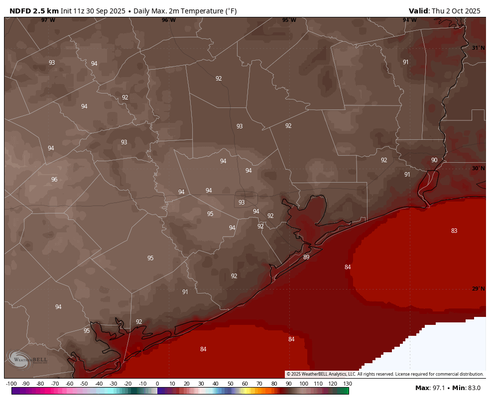
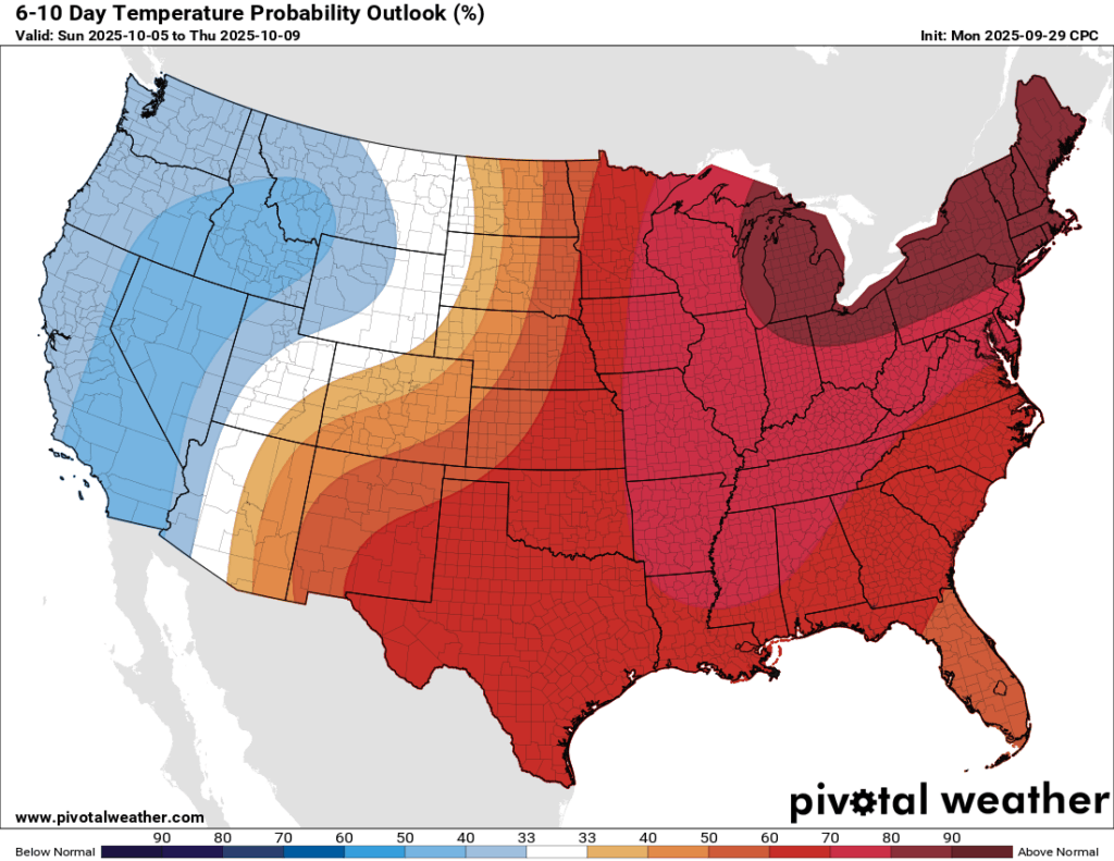
In brief: This is largely a persistence forecast. Houston will face temperatures in the low- to mid-90s this week before rising humidity levels bring highs down slightly this weekend. Bigger changes are possible next week, but we’re making no promises.
Tuesday
We are seeing mostly cloudy skies this morning due to a passing disturbance. If there were more moisture in the atmosphere this might spark some showers, but there’s just not much to work with. So we have overcast skies, and these should give way to sunshine later this morning or by early afternoon at the latest. Following this we are going to see temperatures rise into the lower 90s in Houston, with mid-90s possible for areas west and north of the city. Afternoon dewpoints will drop to about 60 degrees so this won’t be super sultry weather like summertime in Houston, but it will be hot for the end of September nevertheless.
Winds will be light, from the north at about 5 mph today, shifting to come from the east tonight. Lows will drop into the lower 70s. With the slightly lower humidity, nights and mornings will continue to feel pleasant for a couple of more days before dewpoints rise a bit by Friday or so.

Wednesday and Thursday
These will be hot and sunny days, with highs in the lower 90s in Houston, and possibly mid-90s for inland areas. Dewpoints will remain marginally lower to keep a bit of a lid on humidity. Rain chances remain near zero. Nights drop into the lower 70s for most except the coast.
Friday, Saturday, and Sunday
By the weekend the flow turns more southerly, so dewpoints will ramp up slightly. This increased atmospheric moisture should limit highs to around 90 degrees, and push overnight lows to the mid-70s. Each day should bring a slight chance of rain, perhaps 20 or 30 percent for areas near the coast, with lesser chances inland. Any accumulations should be very slight.

Next week
Most of next week will likely see a continuation of the pattern above, with highs in the vicinity of 90 degrees. Rain chances may start to look a little better by Monday or Tuesday, but we still probably are looking at overall low likelihoods and nothing serious in the way of accumulations. That may finally start to change toward the end of next week when a cool front could approach the area. But from this far out I would be a fool to make any promises. So I’m not.
