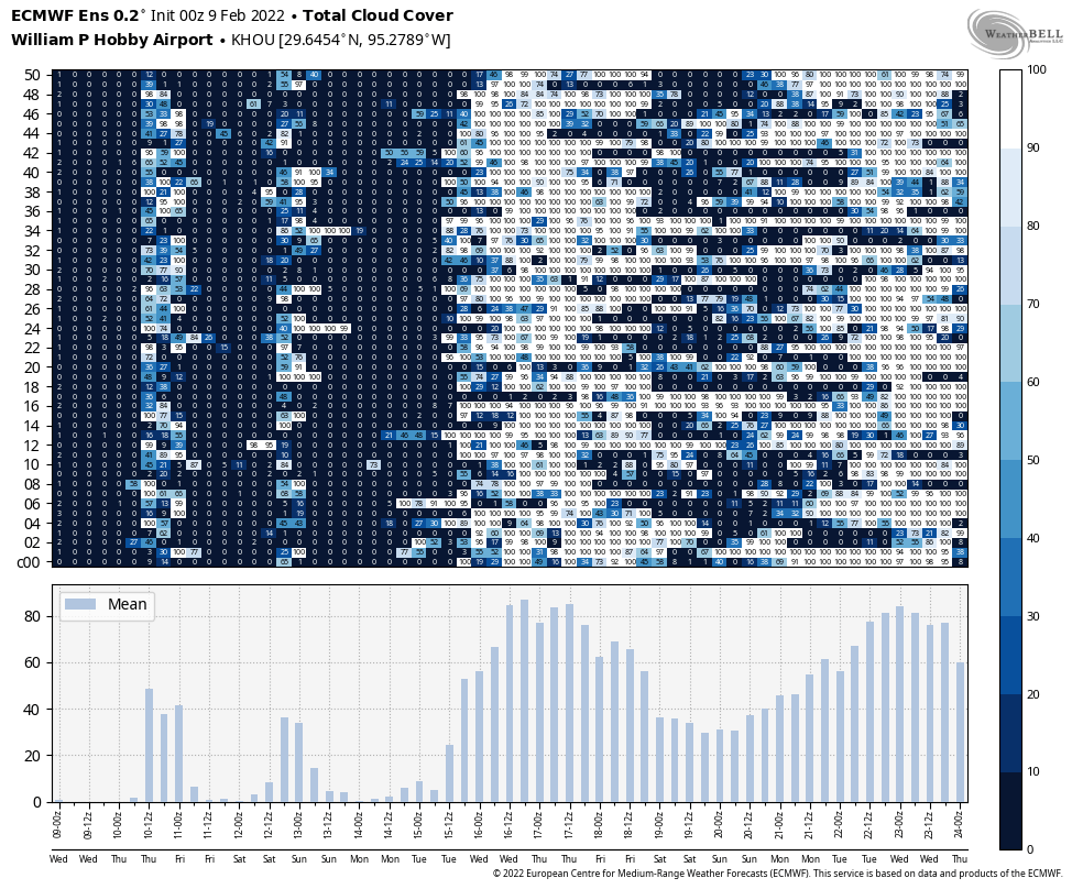
Houston’s weather on Tuesday was spectacular, and there’s more of it ahead. We’ll continue to see sunny skies and mild winter temperatures until Saturday, when a front blows through. And then, shortly after this, we’ll see more sunshine and fantastic winter weather.

Wednesday
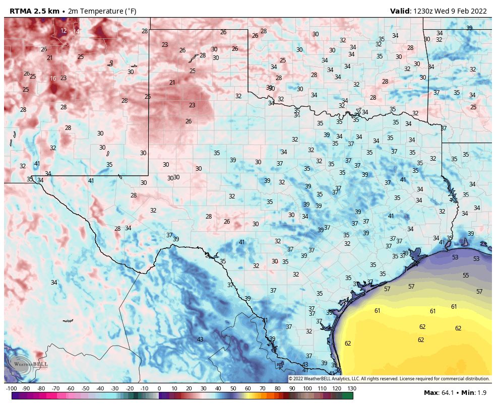
Most of the region is seeing lows in the upper 30s this morning. But with light southerly and westerly winds, and abundant sunshine, we should warm nicely to about 70 degrees this afternoon. Low temperatures overnight should be a few degrees warmer than Tuesday night, with much of Houston settling into the low 40s.
Thursday and Friday
The spectacular sunshine show continues, as does a slow warming trend. Both of these days should see highs of around 70 degrees, but overnight lows will creep up into the mid-40s by Friday morning, and perhaps around 50 degrees by Saturday morning. Winds both days should be light out of the south or southwest.
Saturday
There’s finally some agreement among the models in a frontal passage on Saturday around noon, or during the morning hours. For inland locations, then, highs may top out in the 50s, while coastal areas hit 60 degrees before the front arrives. Most likely this will be a dry passage, as the air simply won’t be holding enough moisture to really generate much in the way of rainfall. Winds will be noticeable, from the north, with the front’s passage. Expect gusts of 20 to 25 mph during the afternoon and evening hours. Lows Saturday night will probably drop into the upper 30s for Houston, with slightly warmer conditions along the coast.
Sunday
This should be a fine, sunny winter day with highs in the mid-50s. Winds should not be too much of a factor. Expect lows on Sunday night to be a degree or two warmer than Saturday night.

Next week
Another week, with more sunshine, is likely. Houston will probably warm back to around 70 degrees on Wednesday before another front brings a decent chance of rain seven or eight days from now.
No complaints here! Keep it coming!