The heat continues. Tuesday marked the fourth straight day of high temperatures of 80 degrees or greater in Houston, and the third record high in three of the last four days. According to data from Matt, That has happened five times before in the city in December (1933, 1956, 1995, 1998 and 2012), but all of the previous streaks came before Dec. 20. Today we’re likely to get our fifth—which has never happened in more than 120 years of records—before some cold weather sneaks into the region.
Today
You know the drill. Foggy morning, partly to mostly cloudy skies, and warm with highs around 80 degrees. Houston will experience one more very un-winter-like day before change finally arrives on Thursday. Looking outside, it dawns on me that for Houston, a White Christmas means fog rather than snow.
Thursday and Friday
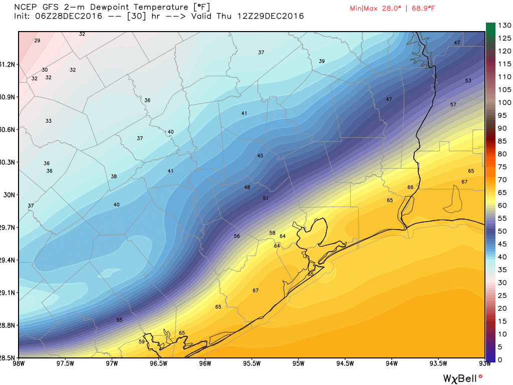
A cool front (with no precipitation) arrives some time early on Thursday, perhaps pushing through the region around sunrise, and off the coast by mid-morning. Temperatures will start off around 70 degrees and then fall through the afternoon hours as colder, much drier air moves in. Lows Friday should fall into the mid-40s before a partly sunny day with a high of around 60 degrees. Temperatures Friday night will moderate to the low 50s as the onshore flow resumes.
New Year’s Weekend
Warm weather returns. Look for highs this weekend, from Saturday through Monday, of around 70 degrees, or in the low-70s. We’re not going back to the 80s, but it will still be uncharacteristically warm for the New Year. Probably the biggest concern is the possibility of light to moderate rain showers, especially on Saturday. It looks to me like rain chances will dip later on Saturday night, so there’s a decent chance of dry weather to ring in the New Year, but I’m not making promises. A chance of showers will linger through Monday.
Next week
The forecast models suggest a stronger cold front will arrive next Tuesday or Wednesday, and stick around for awhile, this should lead to a period of prolonged cooler weather (at least a week, perhaps) with highs in the 60s or below.
Posted by Eric on Wednesday at 7:10am CT
Could you explain the concept of Dewpoint and its relationship to humidity and fog formation?
Thanks!
I can. But shall I? That is the question.
I kid. The dewpoint is the temperature below which water droplets begin to condense and dew can form. An easier way to think of it simply is a measure of the moisture in the air. If the dewpoint is close to the actual temperature, humidity levels will be high.
In regard to fog, there must be some moisture in the air, so with low dewpoint temperatures you’re not going to get fog. But that’s not a problem this morning as the air temperature in Houston is 71 degrees, and the dewpoint is 69 degrees.
http://www.wrh.noaa.gov/mesowest/getobext.php?wfo=lox&sid=KIAH&num=168&raw=0&dbn=m&banner=header
Thanks for the “non-weather-expert” explanation!
What is causing our unseasonably warm weather?
There is much less cold air across Canada and the Arctic to work with this winter; and so far the general atmospheric flow has been more west-to-east than north-to-south, which would bring colder air into Texas.