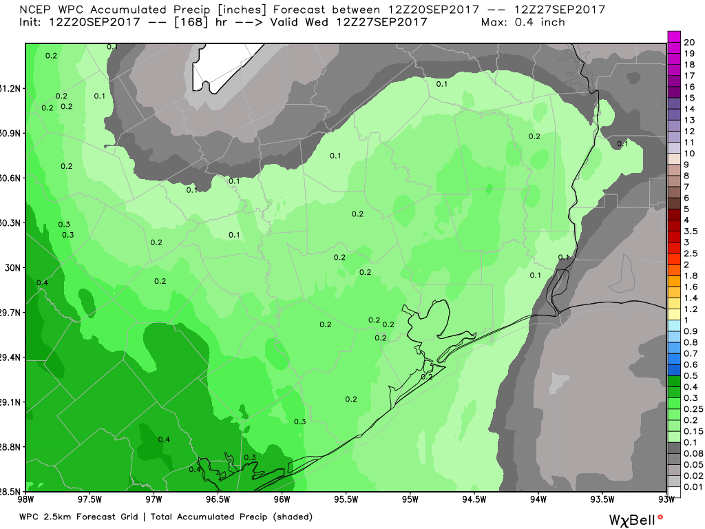
Houston has about another week or 10 days of summer-like weather before we finally transition into a fall-like weather pattern. Aside from the heat and scattered thunderstorms, there are no major weather concerns during that time. Meanwhile, a day after Hurricane Maria made landfall in Puerto Rico, we are only beginning to come to grips with the storm’s devastation there.
Thursday
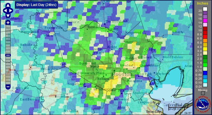
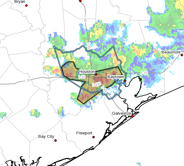
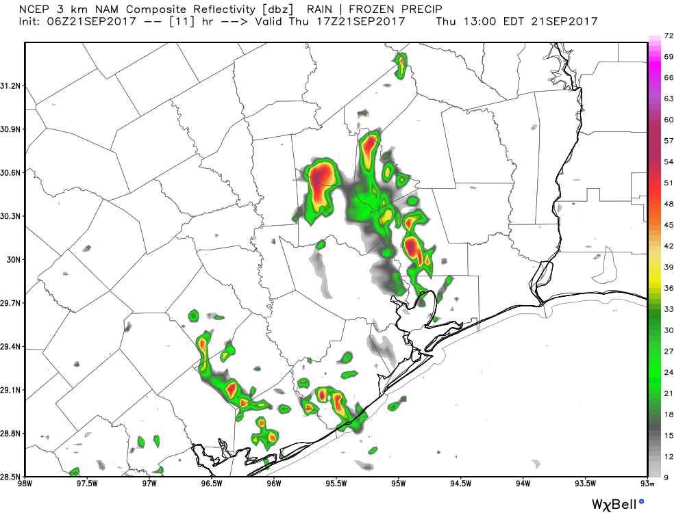
Much like we saw on Wednesday, when nearly 3 inches of rain fell east of Houston near Mont Belvieu, we have an unstable atmosphere above Houston today capable of producing heavy rain showers. Although most areas may see at least some light rain (measured in tenths of an inch) today, the heavier thunderstorms should be scattered and therefore I don’t anticipate any widespread street flooding. But we’ll be watching conditions this afternoon just in case.
Friday and Saturday
As high pressure builds over the area a bit, rain chances should fall back to about 25 percent, or less, each day. Look for warm, mostly sunny days with highs in the low 90s, and a chance of afternoon showers. The end of summer may be nigh, but it will still be with us this weekend.