After another humid night across the Houston region, a cold front is sweeping through the city just before sunrise. Only a very broken line of showers is accompanying the front, so most people probably won’t see much, if any rain with the front’s passage. This will set the stage for a few nice days.
Thursday and Friday
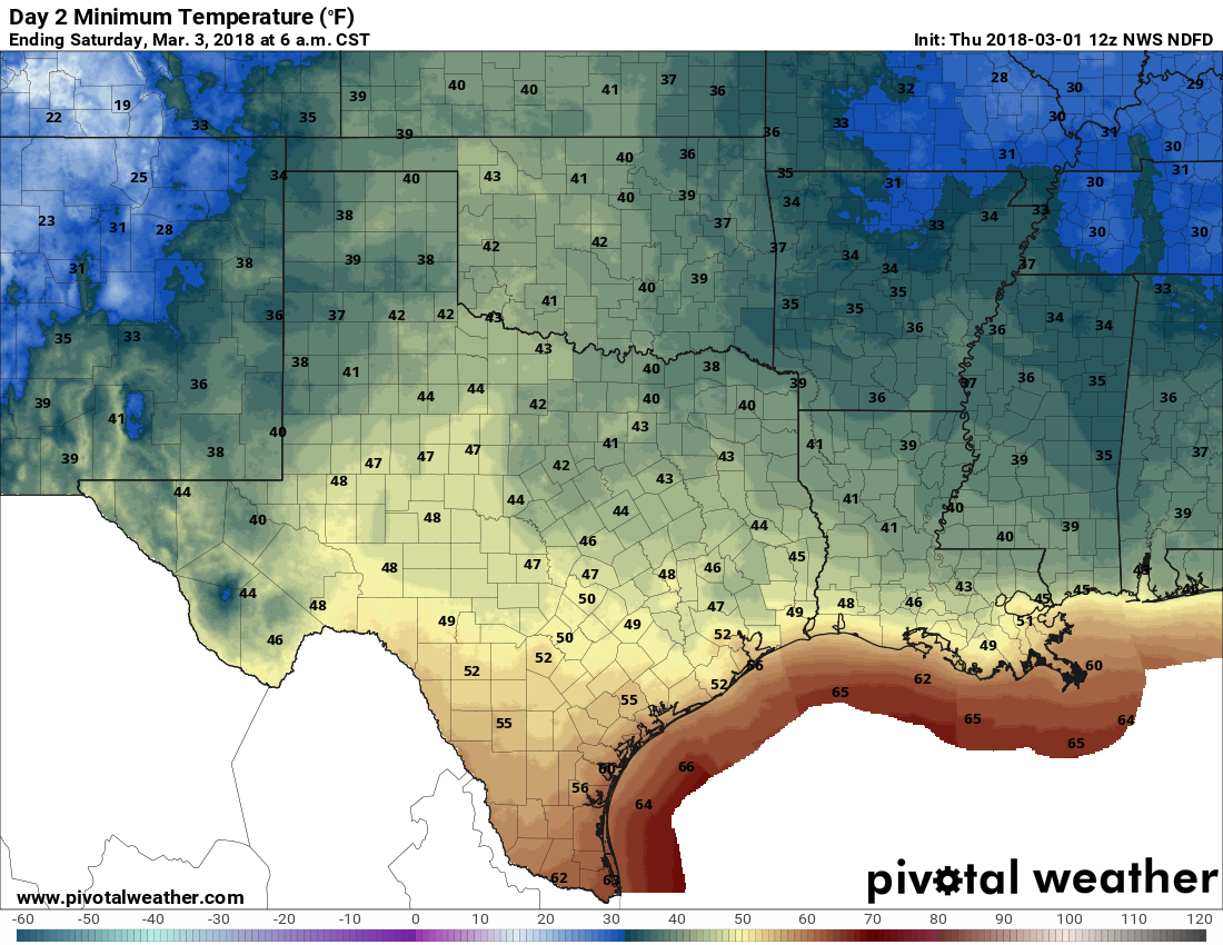
Skies should clear out today, leading to partly or mostly sunny skies in the wake to the cold front. Highs should still climb into the mid- to upper-70s, and it should be a really nice day. We can expect a cool night Thursday night, and very pleasant, mostly sunny conditions again on Friday. Friday night should see our coolest weather of the week, with lows dropping into the mid-40s for areas well inland on Saturday morning.
Saturday
This should be our nicest weekend day in quite some time. We’ll still be partly under the influence of high pressure, which means there should be a fair amount of sunshine as temperatures climb to about 70 degrees. We’ll probably see some clouds move in later in the day, and some slight rain chances enter the forecast later on Saturday night, as moisture levels rise.
