A calm and pleasant holiday weekend

We have registered many complaints from readers (and, frankly, ourselves) through much of 2018 regarding the timing of dreary weather on weekends. Well, here you go: A good one!

Today & Saturday

March will go out like a lamb, as today and tomorrow look truly splendid. Expect sunshine both days. We’ll warm today into the upper 70s, before cooling back on average into the upper 50s tonight (warmer at the coast and cooler inland). Look for us to top off around 80 degrees on Saturday.

Easter Sunday

No changes to our going forecast here. We should see onshore flow resume, which should allow for a subtle increase in humidity levels. But it will be partly to mostly sunny much of the day, with temperatures warming from the lower 60s into the lower 80s. Rain chances remain near zero. Enjoy it!

Next week

Monday should start the transition back toward active weather. We should see more clouds than sun and a minor chance of showers. It will be a muggy morning Monday (mid or upper 60s), warming back to around 80 degrees Monday afternoon. Details in the forecast seem to break down on Tuesday and Wednesday. We’ll probably get another round of showers and thunderstorms, though it should pale in comparison to what we saw on this past Wednesday night.

Total rainfall through next week is on the lower side at this point, but we’ll continue to watch for a chance of storms Tuesday and/or Wednesday. (Pivotal Weather)

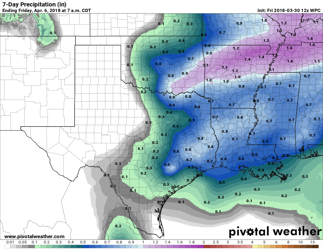
Still, a bit more rain will be on the way. Tuesday night into Wednesday morning looks like the focus of things today, but that could change. We’ll freshen this forecast up on Monday when some of the details come into better focus.

See full post

After significant overnight storms, rains end this morning

Good morning! That was quite a light show early on Thursday morning, as severe thunderstorms with lots of lightning and strong winds surged through the greater Houston area. These storms generally brought 2 to 4 inches of rain across Houston, with some higher totals in Montgomery County, and nearly all area streams and bayous remained well within their banks. Three exceptions were for Peach Creek Near Splendora; and the West Fork San Jacinto In Humble, where some minor flooding was occurring. The heaviest rain remained off to the northeast of Houston, and some flooding is likely along the Trinity River later this week.

Preliminary rainfall totals from 6am Wednesday to 6am Thursday. (HCOEM)

Thursday

As of 6am, rains have cleared out of the western half of Houston, and will continue pushing east and out of the Houston area over the next hour or two. Any threat of severe storms or heavy rainfall has now passed. Skies will gradually clear out today, and highs will reach into the low 80s, before a moderate cool front pushes through the area later this evening, bringing drier, less humid air into the region.

See full post

Please don’t freak out about tonight’s storms, Houston

Earlier today, I did a short telephone interview with The Weather Channel. Nice people. But they were really playing up the potential for serious flooding in Houston tonight. I offered a mild correction—that this was kind of a characteristic spring storm, and not something too worrisome—but that message seems to be getting lost. So let me reiterate it: Yes, some heavy rains are coming to the region this evening, and during the overnight hours, probably widespread accumulations of 1 to 4 inches, with higher isolated totals. No, we don’t expect widespread mayhem.

Rainfall accumulation forecast for now through the weekend. (NOAA)

The setup for heavy rainfall is clear; a slow-moving cold front is moving toward Houston and lifting the warm, moist air at the surface. Some training of heavy thunderstorms is possible as the convective activity feeds off of the warm Gulf of Mexico moisture. Fortunately, the front itself should move off the coast on Thursday, taking this mess with it. Here’s the outlook for Houston until then.

See full post

Tornado Watch for Houston through 9 PM Wednesday

Just want to give everyone a quick update this early afternoon.

The National Weather Service has issued a Tornado Watch for most of the region through 9 PM tonight. This means that the environment over Houston is favorable for severe thunderstorms and possibly tornadoes.

Showers and thunderstorms are focused mostly north and west of Houston this afternoon. With some breaks in the clouds south and east of Houston, the atmosphere is becoming a bit more unstable. For that reason we expect a few more showers and thunderstorms to develop across the region. The environment over Houston is favorable for storms today to become strong or severe if they can get going.

A Tornado Watch means conditions are favorable for the development of severe storms and possible tornadoes. (NWS)

The main threats are isolated hail and damaging winds (we’ve already had some wind damage reported from a storm up near Lake Livingston earlier). Isolated tornadoes are possible, though we don’t expect things to get too out of control here today.

The rest of the forecast as described by Eric earlier is mostly on track. We’re still toying around with specifics on timing of the heavier rains (which should be tonight). Some of you may not see much rain at all during the day today. But others will see heavy rains at times. We don’t see any reason to change our thinking on flooding concerns: 1-3 inches of rain widespread, with pockets of 3-5″+ and street flooding in spots. Bayous and creeks still look to be able to handle this event fairly well, and we are not too concerned about issues with any of them right now.

Eric will have another update for you later this afternoon.