Good morning. Warmth and humidity has returned to the region, and we will see a calm day in the 80s today before rain and the possibility of storms enters the forecast later Thursday through Friday. This will, in turn, be followed by pleasant conditions on Saturday and most of Sunday before the return of more rain chances. Note that, in honor of the Taylor Swift concerts this Friday, Saturday, and Sunday in Houston, I’ve changed the day names accordingly. If you don’t like that, well, Shake it Off.
Wednesday
Skies will be partly sunny today, with high temperatures in the low- to mid-80s. Most of the region will remain rain-free, but the western half of the region has a (very) slight chance of seeing some sprinkles this afternoon. For most of us it will just be a mix of sunshine and clouds, with at-times gusty southerly winds. Low temperatures tonight will only drop to around 70 degrees with mostly cloudy skies.
Thursday
Temperatures and humidity on Thursday will be similar to Wednesday, but skies will be mostly cloudy. However, beginning during the afternoon hours, we’re likely to see some showers develop along a boundary north of Houston. Put another way, expect the possibility of scattered showers or thunderstorms north of Interstate 10. By late Thursday evening into Friday morning, the chance of showers and thunderstorms will become more widespread.
You Need To Calm Down
The best chance for heavy rain this week is likely to come overnight Thursday into Friday morning. We’re going to have to refine this forecast as we get closer, but the hail and damaging winds are possible into Friday morning ahead of a cold front that will arrive later in the day. In terms of accumulations, I think most of the area will see 0.5 to 1.5 inches of rain from Thursday evening through Friday afternoon.
So what does this mean for the Taylor Swift concert? At this time I think rain chances will be winding down during the afternoon or evening hours, so the best chance of storms should be over. However if you’re getting to NRG Stadium several hours before the show starts, it will be something to monitor. After the show I would not have any concerns. However, winds will be be breezy, out of the north, gusting up to 30 mph. Hold on to your hats! Lows Friday night will drop into the upper 50s.
The Best Day
Saturday is going to be a fine, fine springtime day. Look for highs in the low- to mid-70s with mostly sunny skies. Those winds from Friday night will be starting to wind down, so we’ll only need to concern ourselves with gusts of 15 mph or so. Lows on Saturday night will depend on how far you live from the coast, but I think most of the area will drop into the 50s.
All You Had To Do Was Stay
Alas, the cold front is not going to stay on Sunday. Pretty quickly, we’re going to see the return of the onshore flow, and this will allow clouds to develop on Sunday. Highs will be in the low 70s. Rain chances may start to return as quickly as Sunday afternoon or evening, which may be a concern if you’re heading to the third and final Swift concert in Houston. Some models are bringing a healthy chance of showers back into the forecast for Sunday night, which is a potential concern for weather after the show. We’ll try to get a more finely tuned forecast for you in the next day or two.
Next week
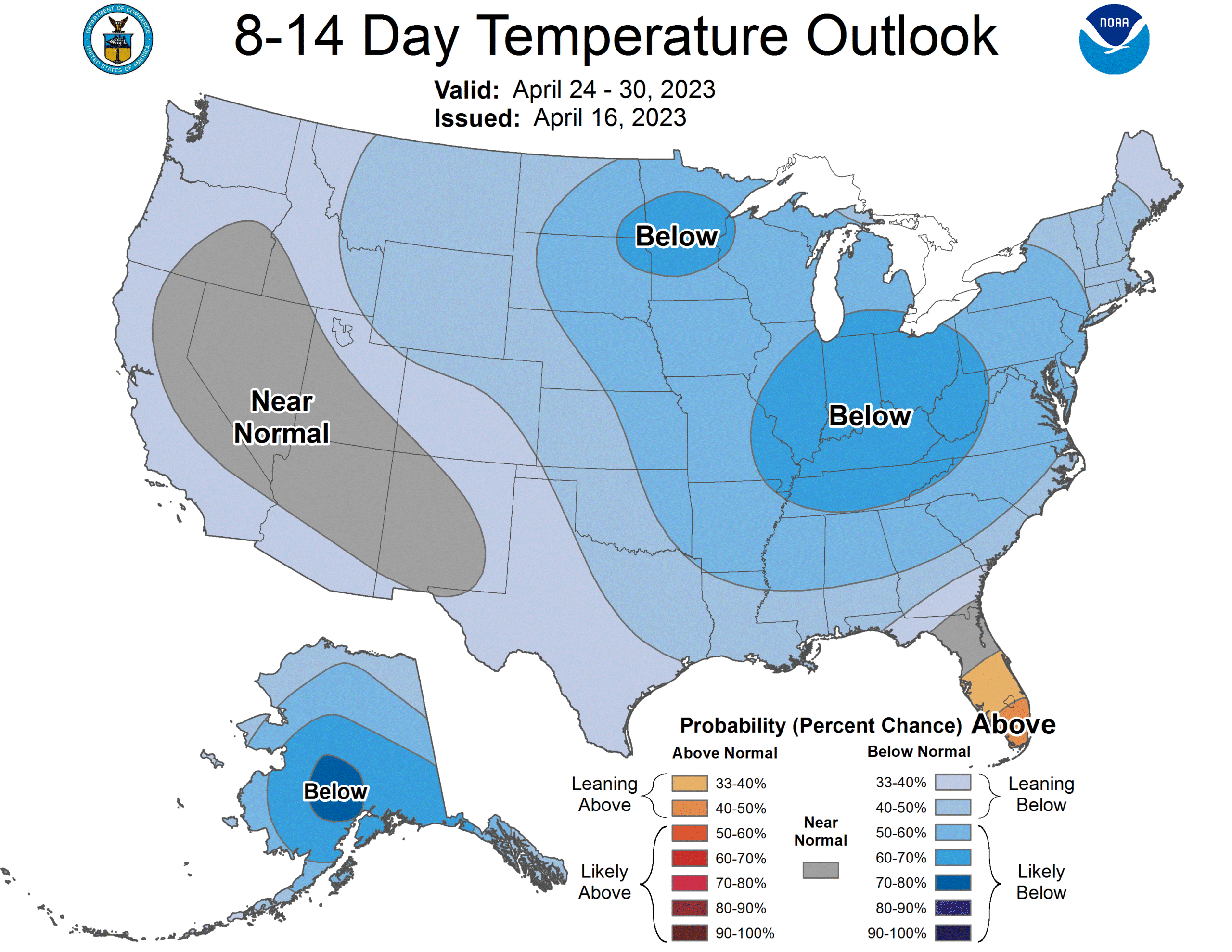
Taylor’s gone, but the weather goes on and on. Houston is likely to see a warming trend, with at least a decent chance of showers through Tuesday or Wednesday, after which a weak front may arrive to bring sunnier skies for awhile. After that the crystal ball starts to get cloudy …