Winter storm still on track to arrive in Houston Monday night: Major transportation impacts likely

In brief: A front is pushing into the Houston metro area this morning, and it will begin a week-long period of much colder weather, with hard freezes likely on multiple mornings, and a probable winter storm that will significantly disrupt mobility around the region on Tuesday and possibly Wednesday.

Today will be the final day before freezing temperatures arrive in the Houston metro area. Although winds will shift to come from the northwest, heralding the arrival of the cold front, we’ll see enough sunshine and lagging colder air that highs today will likely reach about 60 degrees. Conditions tonight will turn gustier and the aforementioned colder air arrives. A light freeze is possible across parts of the Houston metro area by Sunday morning.

Houston Marathon

I had the opportunity to speak with Dr. Lars Thestrup on Friday, at the start line of the Houston Marathon, which begins Sunday morning around sunrise. We discussed the cold conditions expected for runners, volunteers, and spectators on Sunday morning. Unfortunately, in addition to temperatures in the low 30s on Sunday morning, there will be wind gusts up to 30 mph.

This is the forecast for “apparent” temperatures on the start line of the Houston Marathon on Sunday morning. So yes, it will feel very cold. (Weather Bell)

Although there is nothing inherently unsafe about running in these conditions, they necessitate preparation. For runners, that means a cap, something to cover one’s ears, gloves, and layers. As one runs long distances, the body heats up. It may be tempting to shed a layer of clothing, but Thestrup cautioned that for half marathon runners at 8.5 miles, and full marathon runners at 14 miles, there will be a turn into a more northerly stretch of roadway. This will be a full on headwind, he said, and it will be cold. So if you’re thinking of shedding a layer of clothes, at least wait until you hit that wind, he advised. I don’t think I’ll be shedding anything, at any point.

Sunday night and Monday

Temperatures are likely to drop into the upper 20s in the Houston metro area on Sunday night, with a hard freeze possible for northern and western areas of the region, in places such as Montgomery County. So you should have hard freeze preparations completed by no later than Sunday evening.

However we expect Monday to be mostly precipitation free. Even if there is a light, misty rain temperatures should remain above freezing until Monday evening. (But it’s still going to be very cold, so bundle up for any MLK Day activities). By around midnight, if not before, temperatures will sink toward freezing and heavier precipitation is likely. That’s when things may turn dicey.

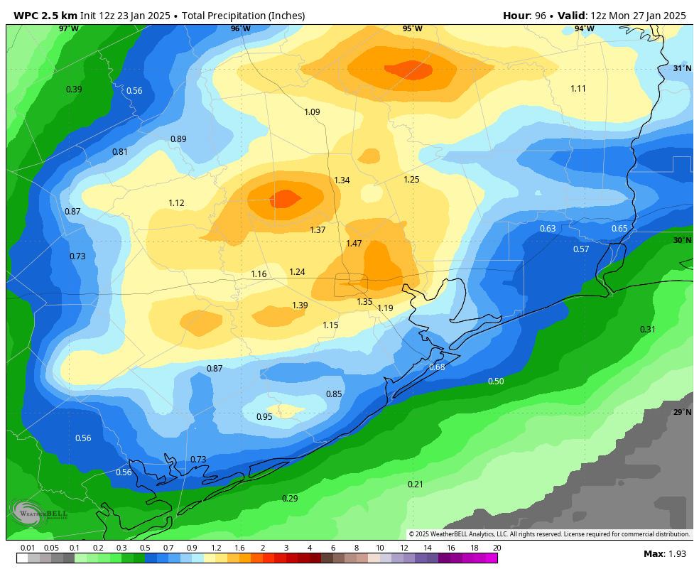
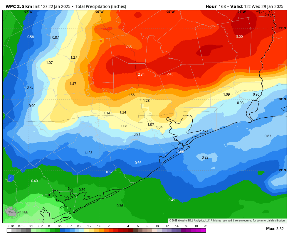
Current best guess forecast for snowfall totals in the Houston region through Wednesday. Please note, some areas could see quite a bit more, and others may mostly see sleet or freezing rain rather than snow. (Weather Bell)

Winter storm

Travel is not advised on Tuesday. Like, please don’t if possible. We still don’t know the precise details of what types of precipitation will fall, and this portion of the forecast is still subject to change. Generally, I think snow will be most likely along and north of Interstate 10, with freezing rain and sleet more likely south of Interstate 10.

The best chance of precipitation will come after midnight and before noon on Tuesday, when temperatures area-wide will be a few degrees below freezing. We are talking about the potential for inches of snow, or significant accumulations of ice on roads from freezing rain. Daytime temperatures may briefly rise above freezing on Wednesday afternoon (or for many locations away from the coast, they may not). In short, we expect roads to be a mess on Tuesday, and with freezing temperatures on Tuesday night, probably well into Wednesday morning. I would expect significant impacts to air travel as well during this period.

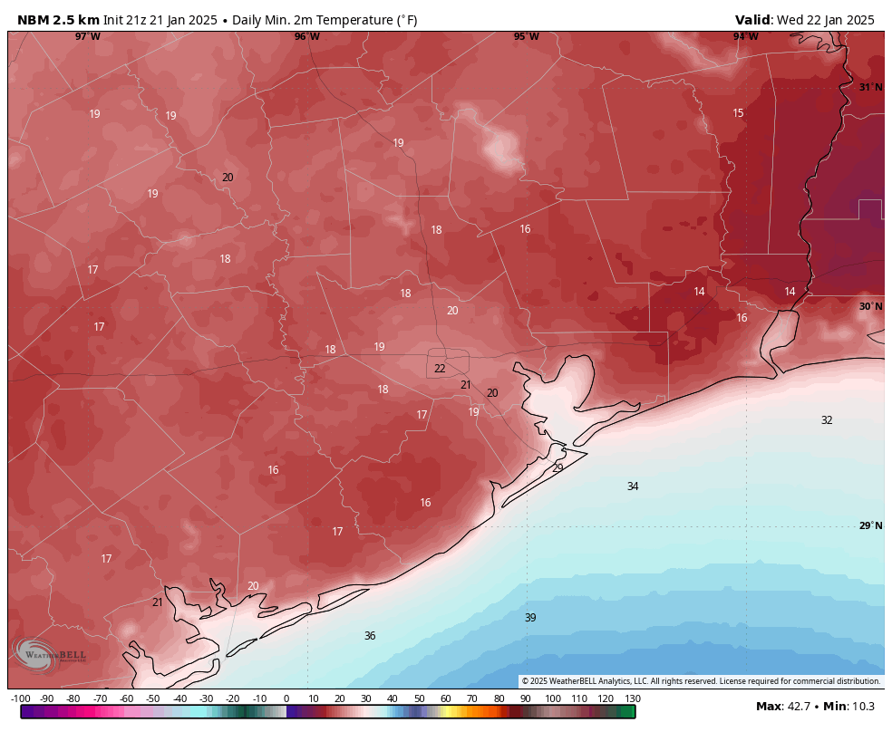
Low temperature forecast for Wednesday morning. (Weather Bell)

How cold will it get

It looks as though Wednesday morning will be the coldest of the week. For areas north of Interstate 10, lows could drop into the 17-22 degree range, for the urban core of Houston we probably will see something in the vicinity of 20 degrees, and temperatures a few degrees warmer for coastal counties. Clear skies will allow for radiational cooling. What could really send temperatures diving, however, is snow cover. So I think the risk of colder weather than advertised above is higher for areas along and north of I-10, where snowfall is most likely. Needless to say, these cold temperatures will keep any snow or ice on the roads in place well into Wednesday morning.

When does this end?

I’m hopeful that temperatures will reach above freezing by around noon on Wednesday, but this may take longer for inland areas. Mostly sunny skies should help dry out roadways. So at this point travel around the region may become more feasible on Wednesday afternoon, but that’s not something I would guarantee at this point. A light freeze is possible on Wednesday night, and by Thursday we are well in the mid-40s so there should be fewer concerns. We may see the possibility of some wintry precipitation again Thursday night, but it’s too early to say anything sensible about this.

A return to the 60s is likely for next weekend. (Weather Bell)

Preparations

Temperatures for inland areas of Houston will drop below 25 degrees as soon as Monday morning, and much of the region (with the possible exception of the coast) could see a hard freeze on either or both of Tuesday and Wednesday mornings. This is cold enough to threaten exposed pipes, sprinkler systems, and more. Here are some basic preparations to undertake:

  • PLANTS. Protect tropical vegetation. Please note, with temperatures dropping this low, some vegetation will probably die regardless.
  • PIPES. Protect any exposed outdoor pipes. Pipes in attics and along exterior walls of structures could freeze at these levels.
  • SPRINKLERS. Sprinkler systems should be shut off and properly drained.
  • ANIMALS. Prepare proper shelter and warmth for animals and livestock and make sure water sources are not frozen.

A message from our sponsor

We’re grateful to Eric and Matt for keeping us informed on the latest wintry weather expected. With cold temperatures predicted, Reliant wants to help Texans feel prepared and informed about their energy usage during extreme weather. These tips can help Space City Weather readers save energy while staying warm, regardless of energy provider:

The colder it is outside, the harder and longer your heater works to maintain the number on the thermostat.

  • Check your thermostat. Many Texans have electric heaters, so freezing temperatures could result in increased energy usage and costs. We want you to be comfortable but keep in mind if you have an electric heater, setting your thermostat to around 68 degrees can help you save energy. For every degree above 68, you can typically expect a 3-5% increase in heating costs.
  • Let the sun in. If the sun is shining, open blinds and shades during the day and remove any solar screens to naturally warm your home. Close them at night to help block out the chill.

Staying warm while remaining energy efficient is about keeping the heat in just as much as it is about generating it.

  • Close heat escape routes. Keep the chimney damper closed when not in use and be mindful of how often you’re opening entry doors and using bathroom ventilation fans, as heat can escape through these outlets.
  • Weatherstrip exterior doors and windows. With minimal effort and cost, you can seal out the cold and save up to 10% on total energy costs.

There are often items around your home you can use to stay warm and save money.

  • Set your ceiling fan to rotate clockwise. This helps force warm air down into the room to create a more comfortable environment.
  • Layer up. Reach for a sweater or blanket before reaching for the thermostat. Weather-appropriate clothes help reduce the demand for heat.
  • Safely use space heaters. When you need to heat a small portion of your home for a limited amount of time, a space heater is a cost-efficient option but be sure to turn it off when no one is around. Using a space heater that is thermostat-controlled can prevent wasted energy.

These simple home improvement tasks can keep your heating system from working harder than it needs to and keep you from spending more than you want to on winter electricity bills.

  • Protect outside faucets. Shut off exterior faucets and drain water from outdoor pipes to prevent them from bursting.
  • Flush the hot water heater tank. Check the temperature and pressure relief valve to ensure it is working properly.

Visit reliant.com/wintertips for more tips on staying warm while managing your energy usage.


Confidence is increasing in a hard freeze for Houston, and a potentially serious winter storm next week

In brief: This post provides an update on our expectations for the winter storm next week, which is now increasingly likely to bring a hard freeze and snow to Houston. The period from Monday night through Wednesday morning could be challenging from a roads and airports standpoint.

Why we are posting on Friday afternoon

As we continue to see more model data, our confidence is increasing in a severe cold snap next week, along with the potential for measurable snowfall that could prove disruptive for travel plans on Tuesday and Wednesday of next week. Although the details remain impossible to forecast, it is now more likely than not that we will experience a serious winter storm in the Houston region four days from now.

How long do I have to prepare?

Conditions today are fairly comfortable outside, and tonight will be mild. Some very light showers will be possible overnight, ahead of the passage of a cold front on Saturday morning. However, as the colder air will be lagging behind somewhat, Saturday should be fine temperature-wise, in the upper-50s or so. By around sunset, however, temperatures will start to drop. A light freeze will be possible across much of the Houston metro area by as early as Sunday morning.

Sunday should be sunny, windy, and chilly. Temperatures on Monday morning will fall below freezing for pretty much the entire metro area, with a hard freeze (temperatures of 25 degrees, or below) possible along and north of Interstate 10. So any freeze preparations on pipes and plants should be completed no later than Sunday.

However, we likely will remain largely free of precipitation on MLK Day. So while it will be cold on Monday, with high temperatures only in the lower 40s, mobility should not be an issue. However, by Monday evening, we could start to see snowfall, and temperatures will drop below freezing pretty quickly. Travel after Monday evening may become hazardous.

Most likely total snow forecast. (National Weather Service)

Winter storm

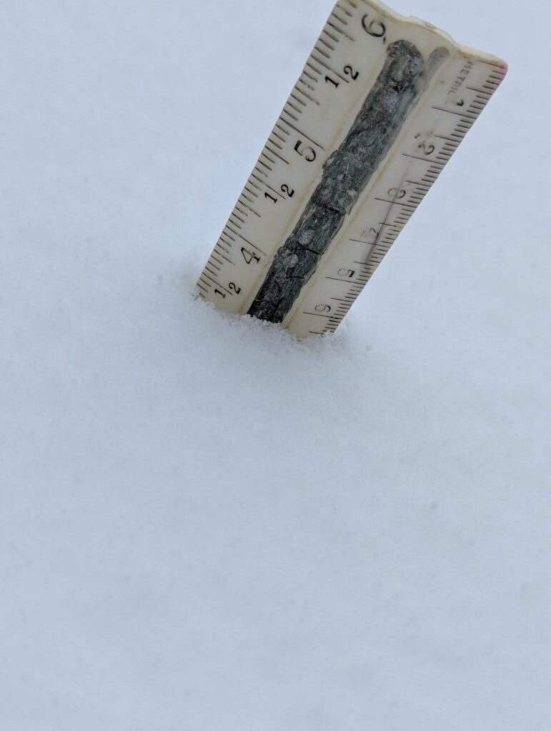
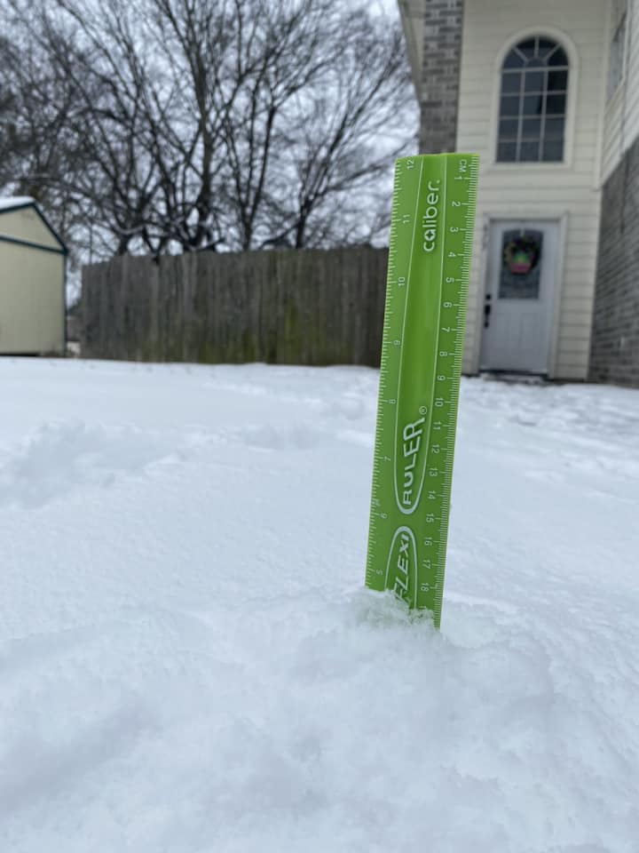
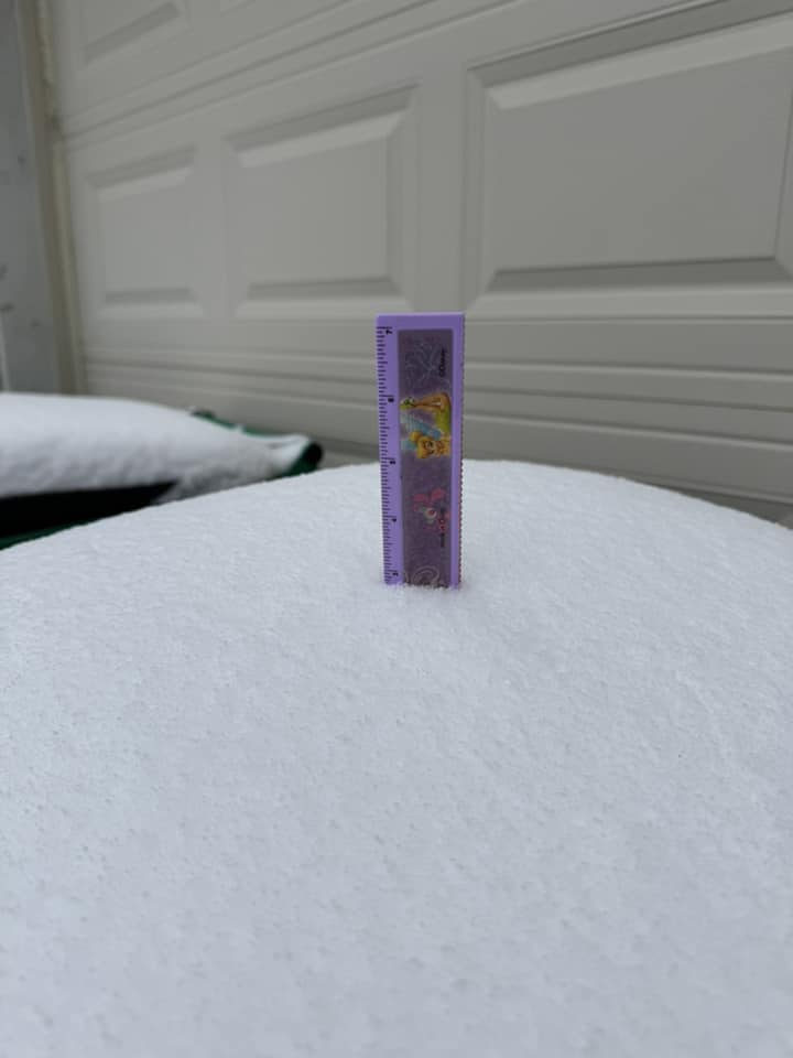
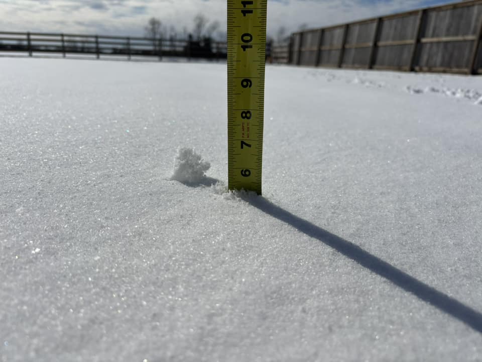
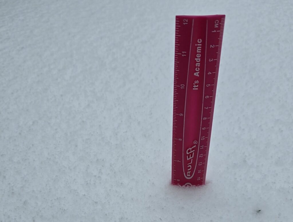
At this time it looks like most of the precipitation that falls early next week will probably be snow. For some areas south of Houston, particularly in Brazoria and Matagorda counties, there may be more sleet or freezing rain. It’s not clear where that transition will occur, but it is entirely possible that Houston wakes up on Tuesday morning and there are 3 or 6 inches of snow on the ground. This would be the most snow Houston has received in at least two decades.

The bottom line is that we’re increasingly confident that temperatures will be well below freezing on Tuesday morning, and that there is likely to be precipitation. That means that whatever falls, is going to stick. And since temperatures may only briefly reach above freezing on Tuesday—and for some areas in Montgomery County and points north, temperatures may not rise above freezing on Tuesday—whatever falls may stick throughout the day and again for Tuesday night into Wednesday morning.

Odds of seeing one-tenth of an inch of freezing rain. (National Weather Service)

For that reason, we believe there is the potential for significant disruptions to mobility around Houston on Tuesday, and probably into Wednesday morning. Speaking of Wednesday morning, it actually looks to be the coldest of the period, with temperatures in the low 20s in Houston, and perhaps even lower depending on the extent of snow cover.

So if you’re making plans for next week, consider that much of the city could be shut down for Tuesday and part of Wednesday. Fortunately we should see sunshine on Wednesday, with temperatures warming into the 40s during the afternoon. This should help improve road conditions.

Preparations

Current temperature forecast for Wednesday morning. Snow cover could bring these temperatures down further. (Weather Bell)

Temperatures in parts of Houston will drop below 25 degrees as soon as Monday morning, and much of the region (with the possible exception of the coast) could see a hard freeze on either or both of Tuesday and Wednesday mornings. This is cold enough to threaten exposed pipes, sprinkler systems, and more. Here are some basic preparations to undertake:

  • PLANTS. Protect tropical vegetation. Please note, with temperatures dropping this low, some vegetation will probably die regardless.
  • PIPES. Protect any exposed outdoor pipes. Pipes in attics and along exterior walls of structures could freeze at these levels.
  • SPRINKLERS. Sprinkler systems should be shut off and properly drained.
  • ANIMALS. Prepare proper shelter and warmth for animals and livestock and make sure water sources are not frozen.

Electricity

It is beyond the scope of this website to make predictions about the availability of electricity during this winter storm. However, there are two basic issues to consider. The first is power generation at plants. This is what caused widespread power issues during the winter storm during Valentines Day in 2021. We don’t think temperatures will be quite that cold this time, and the state of Texas made significant investments after that cold outbreak. So theoretically there should be electricity available to the grid managed by ERCOT. But we’ll see.

The other step is distribution, which is the lines and poles component. If we get snow that is better than freezing rain, which can stick to power lines, weigh them down, and cause them to snap. So that will be another factor to monitor.

At this time we don’t anticipate major power disruptions during the winter storm, but certainly that is not something we can guarantee.

Our next update will come on Saturday morning.

A continuously evolving winter storm threat to Houston next week tries to get a little snowier today

In brief: A complicated winter storm for Houston next week continues to give us fits in weather modeling, with today’s flavor being the potential for more snow and sleet than anything else. However, we expect the forecast to continue changing over the weekend and will keep you posted. Either way, travel across the Houston area may become very difficult Tuesday and Wednesday.

Winter storm update

What has changed since yesterday? Well, a lot. The storm is back. But this time it’s a bit colder overall, which means perhaps more in the way of snow and sleet than ice. That would be good news. That said, there remains a ton of uncertainty. As a native of New Jersey and having cut my teeth forecasting in Upstate New York, I have learned to never take a winter weather forecast from models literally. This is doubly true in the South where snow and ice are generally outside the bounds of climatology, which tends to give models fits and leads to us having to caveat every single thing we say.

Anyway, here’s the NWS National Blend of Models snow forecast for the last several runs. This incorporates a bunch of models and weights them. You can see a lot of fluctuation in outcomes here.

The last several runs of the National Blend of Models showing much fluctuation in snow totals in Houston. This remains a fluid and complicated situation. (Pivotal Weather)

What are we confident in? The timing. Precipitation should begin, lightly on Monday afternoon or evening. The height of the storm would likely be from about 4 AM to Noon Tuesday, with conditions slowly improving Tuesday afternoon. We are also fairly confident that Wednesday morning should be the coldest morning next week. A tropical-plant damaging freeze is likely on at least one or two mornings. An irrigation system damaging freeze is also likely if precautions are not taken.

What are we not confident in? How much of what falls where. While the models have brought the storm back into the forecast since yesterday, they remain a bit split on exactly how it plays out. We can say that in general today, it appears the highest odds of snow are north and east of Houston and the highest odds of ice are south of Houston and near the coast. Beyond that? We can’t say much. Unfortunately, that’s the most important question to answer in terms of travel conditions, school closures, etc. We will get some confidence on this through the weekend. We would think that by the morning of the MLK holiday, decisionmakers will have enough to work with.

What else aren’t we confident in? How cold it gets Wednesday morning. Snow cover is a significant component of what we refer to in meteorology as “ideal radiational cooling,” the premise being clear skies, light winds, and snow cover all contribute toward an ideal scenario for cold weather. Without snow cover next week, we’ll likely see mostly 20s for lows with a few teens north. Cold for sure, but nothing extreme. However, let’s say we get 2″ of snow across Houston. Then we could easily shave an additional 5 degrees off that, nudging us into the teens everywhere except the coast.

The current low temperature forecast for Wednesday morning from the NWS is cold, but if we have snow cover, those areas would be easily 5 degrees colder. (Pivotal Weather)

So there is a lot to unpack here still, and over the next couple days we should begin to see clarity. Eric and I will keep you posted on all that as it evolves with regular updates through the weekend.

Houston Marathon

I admire anyone that runs a marathon. I especially admire anyone that does so with temperatures in the 30s and a north wind gusting up to 25 mph or so. That’s what we have for you on Sunday. Temps will rise a little through the run, possibly getting to near 40 degrees by the end, but either way, it’s going to be very cold. Good luck to Eric and to all those participating in the run(s) this year!

Rest of the forecast

For those of you with weekend plans, there could be an isolated shower this afternoon or tomorrow afternoon as the front moves in, but otherwise it looks dry. Temperatures will peak in the upper-60s or low-70s today, so bust out the shorts and enjoy! Tomorrow will likely get into the 60s before the front hits in the afternoon. Temperatures will then fall tomorrow evening through the 50s and 40s and into the 30s in most of the area, with some 20s in more rural spots north of I-10 by Sunday morning. Sunday gets up to the low or mid-40s, maybe and looks windy and cold.

NWS forecast for Houston through next week. (Weather Bell)

Monday will start in the 20s and warm into the upper-30s to low-40s. Depending on how the storm evolves, look for lows in the upper-20s and highs in the low or mid-30s on Tuesday with a breeze as well. Wednesday will probably get up near 40, but as noted above, there is some uncertainty on how cold it gets in the morning. And then a more proper warm up ensues for later next week.

Again, we will keep you posted regularly through the weekend on next week’s cold and potential winter precipitation.

The winter storm forecast for next week remains complex, with snow, ice, cold rain all still possible

In brief: Houston has three more modestly warm days before a strong front brings much colder conditions by Saturday night. After that we still have a lot of questions about how cold things will get, and what type of precipitation Houston will see. It could be really messy, or it could be mostly fine.

Winter storm status

We are continuing to see a distinct lack of consistency in the forecast for next week, both in terms of low temperatures and the potential for snow or other kind of wintry precipitation. To give you an example of this, over the last 24 hours, the highly respected European model has forecast everything from nearly 1 inch of freezing rain, to 2 inches of snow, to nothing in terms of wintry precipitation. So good luck with that.

A comparison of the Wednesday (noon) run of the European model for freezing rainfall totals (left side), with that of this morning (6 am). The difference is significant. (Weather Bell)

When we are vague and talk about the ‘potential’ for a winter storm during the period of Monday night and Tuesday of next week, that’s just what we mean. Although your phone may be telling you there will be six inches of snow or some other type of precipitation, just know that this forecast can, and probably will change. Our advice is to continue to be prepared for wintry precipitation early next week, most likely on Monday night and Tuesday, but to understand that it also may not happen. I know the lack of certainty is frustrating, but it’s the reality of the forecast at this time.

We’ve had a lot of questions about electricity as well, and that’s understandable. This will depend on how cold it gets in Texas, and locally, whether we see a lot of ice (which gets on powerlines and can snap them). At this time I’m leaning toward the potential for lower impacts and fewer outages, but again this will depend on how the forecast plays out.

Thursday

We don’t have any weather concerns today in Houston. Expect high temperatures to reach the lower 60s, with mostly sunny skies, and light winds. Honestly, this is a good candidate for the nicest day of 2025 so far. Low temperatures tonight will drop into the mid-40s, with clear skies.

Friday will be very pleasant, temperature wise, in Houston. (Weather Bell)

Friday

This will be the warmest day for awhile, even as clouds build over the area. Expect highs in the upper 60s to possibly 70 degrees. We’ll also see humidity levels briefly spike up on Friday afternoon and evening. You remember what humidity is, right? Lows on Friday night will only drop into the 50s.

Saturday

Hello, cold front day. The front should arrive some time on Saturday morning, in the form of drier air and stronger northerly winds. However, as skies will be partly to mostly sunny after the front, and the colder air will lag behind a bit, I think high temperatures will still get into the low- to mid-60s for many locations on Saturday. So while this will be a breezy day, it won’t be a particularly cold day. That will change toward evening, however, as colder air arrives with the setting Sun. Lows on Sunday night will drop into the mid-30s in Houston, with the potential for a light freeze for inland areas.

Sunday

For the Houston Marathon, there’s no way to get around this. It’s going to be cold. We’re going to see brisk northerly winds which will, at times, be gusting up to 20 or 25 mph. Start line temperatures will likely be around 34 to 38 degrees in downtown Houston, rising to the lower 40s by late morning. So yeah, a very cold race. By Sunday afternoon temperatures likely will reach the upper 40s. Lows on Sunday night will probably drop to around the freezing level in Houston, give or take, with the coast remaining above freezing and inland areas dropping a few degrees below freezing.

MLK Day

If you’re planning on attending the parades on Monday, or participating in some other activity related to the holiday, please bundle up. Skies will be partly sunny, with high temperatures around 40 degrees. There’s also the potential for a light drizzle on Monday afternoon or evening.

Monday night through Wednesday

This is the likely period of coldest weather in Houston, and when we are most concerned about the potential for freezing weather. The problem is we don’t really know how cold conditions will get in Houston or surrounding areas, and we don’t know precisely how much precipitation will fall, or when. So right now we’re smacking you with a big snowball of uncertainty.

This is the “best guess” for temperatures in Houston through Wednesday of next week. (Weather Bell)

My sense is that temperatures in central Houston will probably fall into a range of 25 to 35 degrees on the mornings of Monday, Tuesday, and Wednesday. That obviously ranges from a borderline hard freeze to non-freezing. (Obviously, the likelihood of a hard freeze is significantly higher for locations such as The Woodlands, and points to the north and northwest of Houston). So if you have sensitive pipes and plants you should be preparing for very cold weather here. But the reality is, we may not get that cold.

As for precipitation, a coastal low pressure system is likely to bring some form of it to the region on Monday night and Tuesday. Because of the uncertainty on temperatures, this could still come in the form of rain, snow, freezing rain, or possibly even sleet although that looks like a lesser possibility. The bottom line is Tuesday morning may be pretty messy on the roads around Houston. Or it could be fine. It may yet be a couple of days before we can say for sure. I want to see some agreement and consistency in the models, and as yet there is none.

Temperatures begin to warm up on Wednesday and Thursday.