In brief: Houston has a really nice weekend ahead of us with 70s and sunshine. Next week gets a little trickier with a storm system Tuesday that could deliver some strong storms, followed by another round of very nice weather.
As the Houston Livestock Show & Rodeo kicks off with the BBQ cookoff this weekend and the parade tomorrow and Mardi Gras rolls on in Galveston, southeast Texas will be treated to some really solid spring weather. But we will be watching next Tuesday for the potential of some stronger thunderstorms.

Today through Sunday
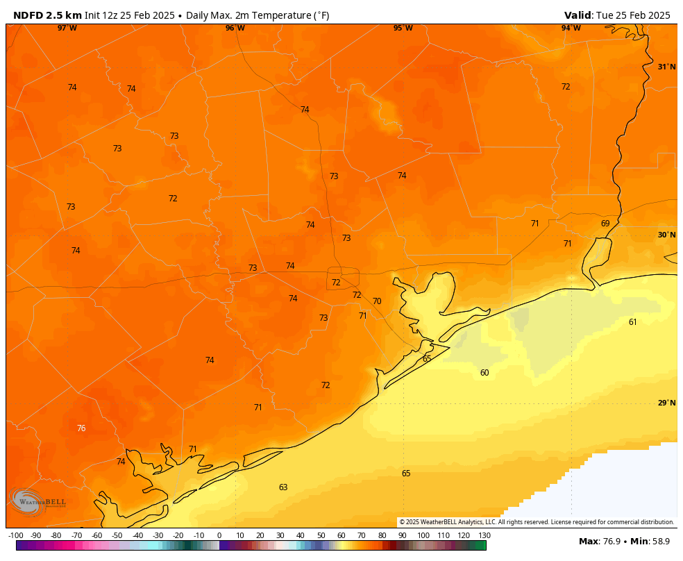
All three days should be partly to mostly sunny with highs in the 70s today, near 80 tomorrow, and back in the 70s on Sunday behind a weak little backdoor front coming from Louisiana. Morning lows will be in the 50s or upper-40s in spots. There may be some fog around tomorrow morning, and there is a chance of some fog clinging to the coast tomorrow afternoon. For Mardi Gras in Galveston, bring a hoodie. If you’re going to pre-Rodeo events or scoping out the Dynamo (and Messi) this weekend or anything else, it’s going to be great.
Monday
Much stronger onshore flow begins to establish on Monday, leading to warmer temps, higher humidity, clouds, and some patchy fog. A few isolated showers or pockets of drizzle cannot be ruled out. After morning lows near 60, daytime highs will probably push to near 80 degrees.
Tuesday
Tuesday is going to be an interesting day. There is a very clear-cut severe weather risk Tuesday as a disturbance and front approach. The question locally is whether the “cap” can break.
For those new to Houston or that aren’t familiar, often during springtime severe weather events, Houston’s geography allows it to be somewhat protected by what we call a “cap” in the atmosphere. It’s just a point above our heads where the air turns warmer and drier all of a sudden, which physically essentially “caps” how tall clouds (and thus thunderstorms) can grow to be. Houston often avoids the fate of the rest of the southern Plains’s reputation for being tornado alley in spring because of this.
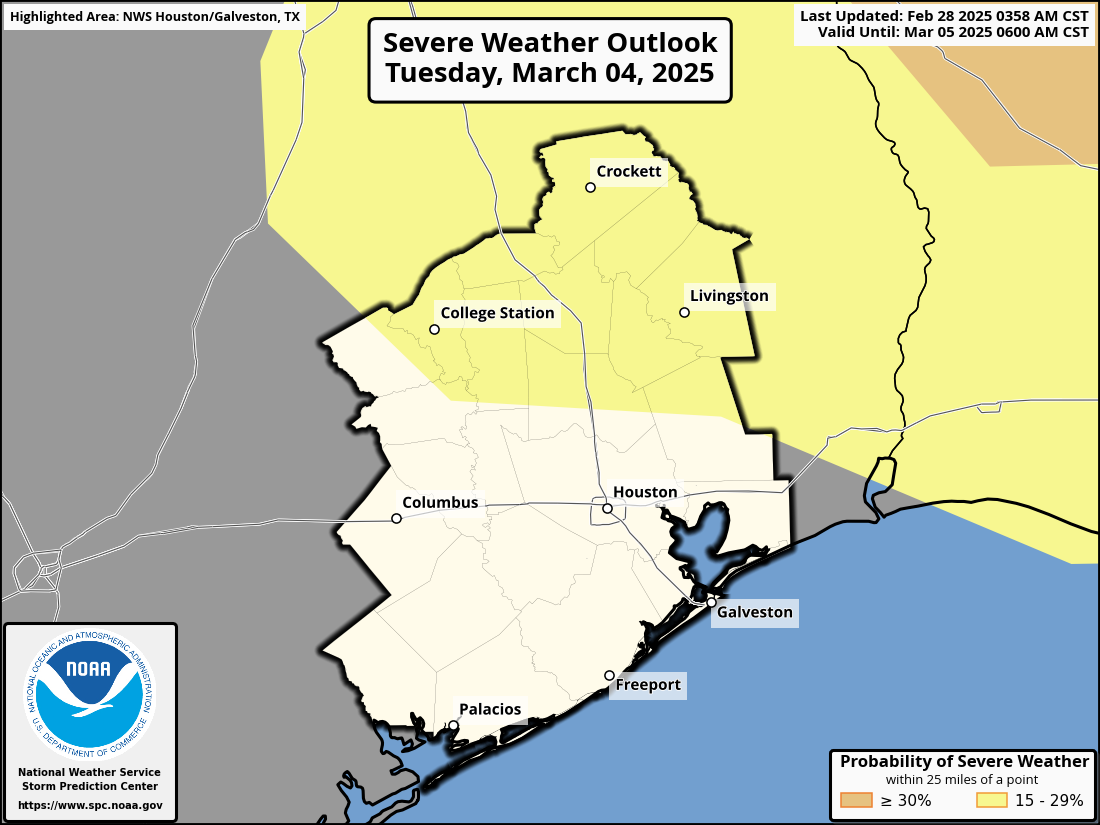
The challenge for us, especially 5 days out, is determining whether or not that “cap” will be eroded or break. And that’s just not really a high-confidence parameter to predict. That said, the highest risk for severe storms on Tuesday will clearly be to our north. But the risk of some strong to severe storms close to the Houston area, especially on the north side of I-10 is not zero.
Otherwise, Tuesday looks breezy and warm, with highs around 80 degrees.
Rest of next week
Behind Tuesday night’s front, the rain and storm threat will end and much cooler, drier air will push back into the area. It looks like a wonderful finish to next week. High temperatures on Wednesday and Thursday will probably be near 70 with morning lows in the 40s and 50s.